- County Route 615 (Middlesex County, New Jersey)
-
County Route 615
Route information Maintained by Middlesex County Length: 23.75 mi[1] (38.2 km) Major junctions South end: West Windsor/Plainsboro
(continues as Mercer CR 615)
 CR 535 in Cranbury
 US 130 in Cranbury Township
 CR 522 in Jamesburg

 CR 527/NJ 18 in East Brunswick Township
 US 9 in Sayreville
 NJ 35 in South Amboy
North end: So. Pine Ave in South Amboy Highway system County routes in New Jersey
500-series • County routes in Middlesex County←  CR 614
CR 616  →
→County Route 615 is a county route in Middlesex County, New Jersey that measures 23.75 miles (38.22 km) in length. The road extends from Mercer CR 615 at the Plainsboro/West Windsor line all the way to So. Pine Ave in South Amboy, New Jersey. While most of 615 is not used a commuter road, the section in the Jamesburg/Monroe/Helmetta/Spotswood area is moderately used. Besides the traffic, CR 615 has one of the most confusing intersections in Jamesburg: CR 522, Gatzmer Ave, and Railroad Ave. Monroe's section of 615 is receiving more vechicular volume due to new developments. 615 runs concurrent with a number of county routes: CR 535 for 0.14 miles (0.23 km) in Cranbury, CR 614 for 0.05 miles (0.080 km) in Monroe Township, and CR 613 for 0.42 miles (0.68 km) in Spotswood.
Contents
Route description
County Route 615 begins at the Middlesex-Mercer County line in Plainsboro.[2] At George Davidson Road, 615 enters Cranbury. Known as Cranbury Neck Road, 615 merges into County Route 535 for .14 miles. Soon after the concurrency ends, U.S. Route 130 intersects at 4.29 miles (6.90 km). 615 then enters Monroe Township and intersects with CR 619 soon after. CR 614 becomes concurrent with 615 at 8.65 miles (13.92 km). The concurrency is short however as CR 615 leaves to the left soon after as Half Acre Road.
Just after crossing the town line into Jamesburg, CR 612 crosses at a traffic light.[2] After 11 miles (18 km), County Route 522 intersects. 615 enters Monroe again and then leaves for Helmetta. After a short distance in Helmetta, CR 615 enters Spotswood. In Spotswood, CR 615 becomes concurrent with Devoe Avenue, also known as CR 613. After the concurrency ends at 15.6 miles (25.1 km), CR 615 continues through Spotswood until it enters East Brunswick. At 17.74, CR 615 crosses over New Jersey Route 18 and intersects County Route 527.
Soon after the 527 intersection, CR 615 enters Sayreville and intersects with Jernee Mill Road (CR 673) at 18.95 miles (30.50 km).[2] Continuing through Sayreville, CR 615 is known as the Bordentown-Amboy Turnpike. The road intersects with U.S. Route 9 at 22.53 miles (36.26 km) and enters South Amboy. New Jersey Route 35 intersects at 23.29. CR 615 comes to an end at South Pine Avenue in South Amboy, 23.75 miles (38.22 km) from its beginning.
At its south end, CR 615 continues into West Windsor for another 1.85 miles (2.98 km) as Mercer County Route 615, where it passes by Grover's Mill and terminates at Route 571 near Princeton Junction.
History
Before the 600-series numbering system was introduced in Middlesex County, County Route 615 was formerly known as County Route 3-R-2.[3]
Future
In 2009, the intersection of CR 615 (Bordentown Avenue) and CR 673 (Ernston Road) would be improved.[4] The total cost of $8.706 million would include the replacement of a Conrail bridge, which is causing the intersection to suffer because of insufficient opening of the bridge and its poor radii.[5]
Major intersections
The entire route is in Middlesex County.
Location Mile[1] Destinations Notes Plainsboro 0.00 Mercer CR 615Southern terminus Cranbury 3.73 CR 535 (S. Main Street)Begin/end concurrency 3.87 CR 535 (S. Main Street)Begin/end concurrency 4.29 US 130East Brunswick 17.21 CR 527 (Matawan Road)Sayreville 22.53 US 9South Amboy 22.53 NJ 3523.75 South Pine Avenue Northern terminus 1.000 mi = 1.609 km; 1.000 km = 0.621 mi See also
 U.S. Roads portal
 New Jersey portal
References
- ^ a b New Jersey Department of Transportation (2006). "County Route 615 straight line diagram". New Jersey Department of Transportation. http://www.state.nj.us/transportation/refdata/sldiag/12000615__-.pdf. Retrieved 2007-09-03.
- ^ a b c Google Maps (2007). "Middlesex County, NJ Route 615". Google. http://maps.google.com/maps?hl=en&q=RT-615,+Middlesex+County,+NJ&um=1&sa=N&tab=wl. Retrieved 2007-09-03.
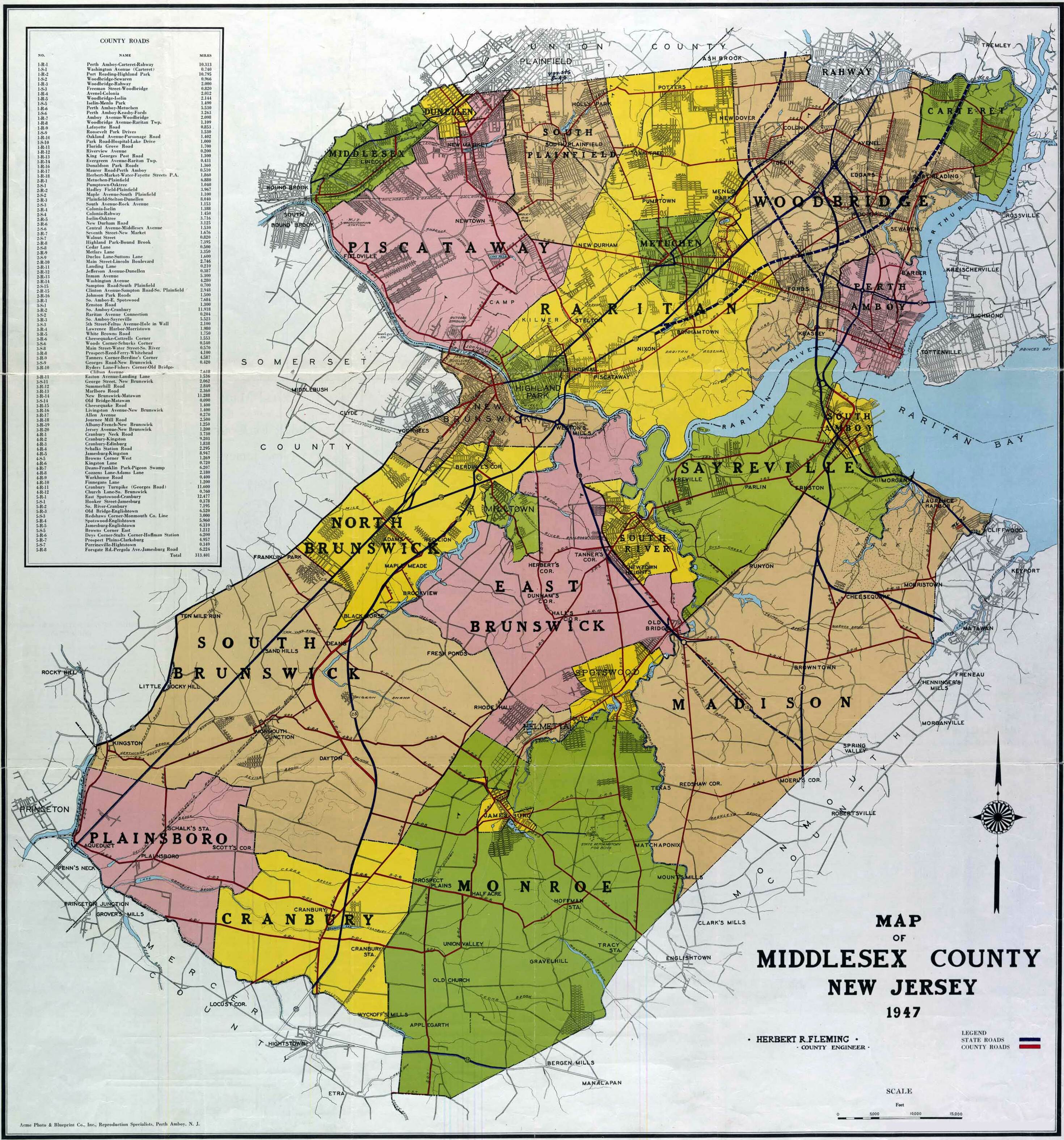
- ^ Rutgers (1947). "1947 Map of Middlesex County". Rutgers. http://upload.wikimedia.org/wikipedia/commons/1/17/MiddlesexCounty_1947.jpg. Retrieved 2007-09-03.
- ^ New Jersey Department of Transportation (2007). "FY 2008 - 2012 Program - NJ Department of Transportation". NJDOT. http://newjersey.gov/transportation/capital/tcp08/pdf/njdot5year.pdf. Retrieved 2007-09-03.
- ^ New Jersey Department of Transportation (2007). "Draft FY 2008-11 STATEWIDE TRANSPORTATION IMPROVEMENT PROGRAM - Middlesex County". NJDOT. http://nj.gov/transportation/capital/stip0811/sec3/counties/middlesex.pdf. Retrieved 2007-09-03.
External links
Categories:- Transportation in Middlesex County, New Jersey
- County routes in New Jersey

Wikimedia Foundation. 2010.