- County Route 612 (Middlesex County, New Jersey)
-
County Route 612
Forsgate Drive
Pergola Avenue
Matchaponix RoadRoute information Maintained by Middlesex County Length: 5.01 mi[1] (8.06 km) Major junctions West end: 

 I-95 / NJ Turnpike / Route 32 in
Monroe Township CR 619 in Monroe Township
 CR 615 in Jamesburg
 CR 625 in Jamesburg
 CR 522 in Jamesburg
East end:  CR 613 in Monroe Township
Highway system County routes in New Jersey
500-series • County routes in Middlesex County←  CR 611
CR 613 →County Route 612 is a county route in Middlesex County, New Jersey that measures 5.01 miles (8.06 km) in length. It carries the names of Forsgate Drive, Pergola Avenue, and Matchaponix Road. The road extends from CR 613 in the east to its bridge over the New Jersey Turnpike in the west, where it continues as Route 32. Route 612, along with current Route 32 was originally designated as County Route 5-R-8.
Contents
Route description
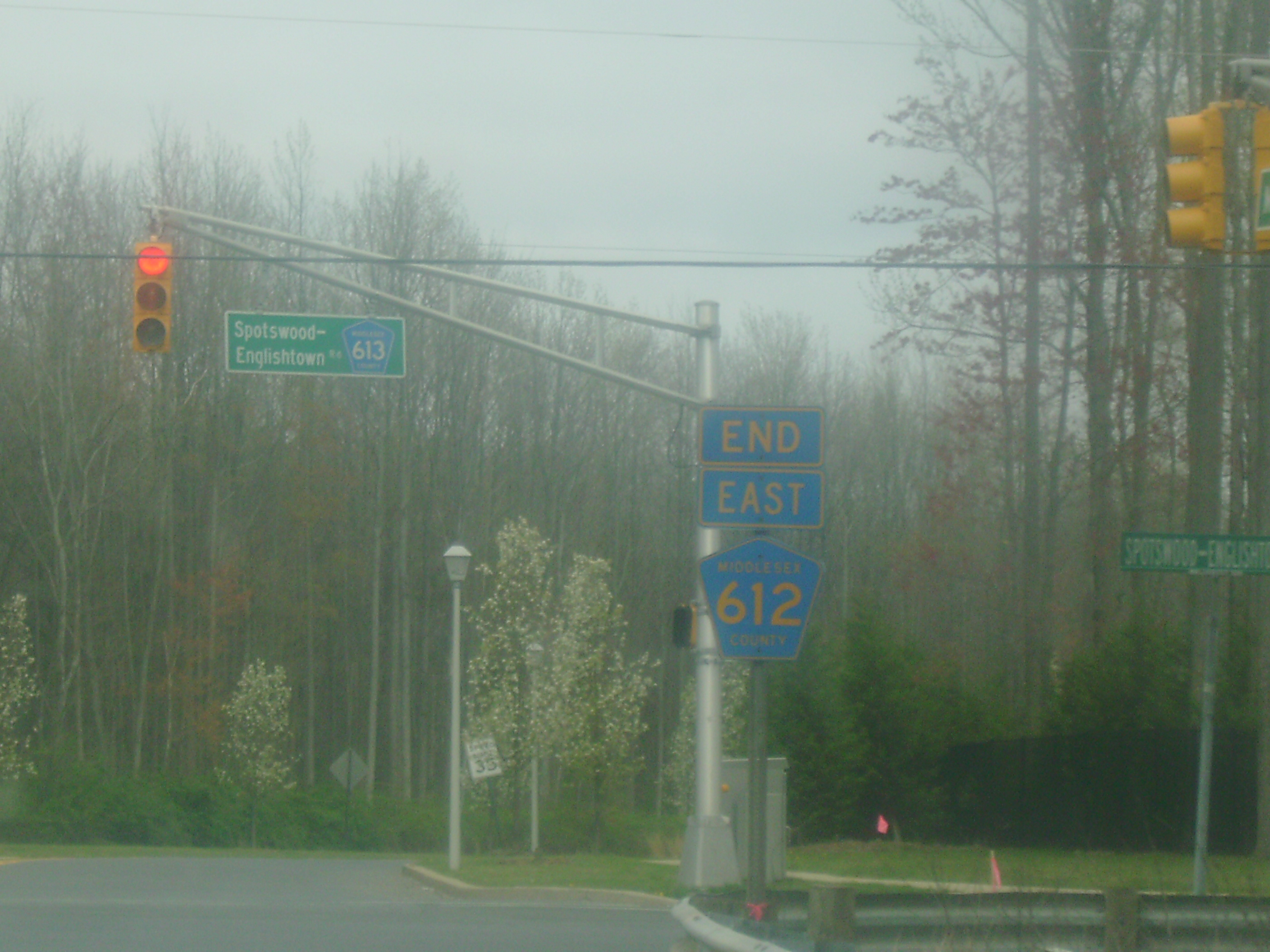
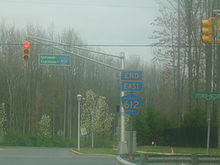 County Route 612's terminus with CR 613 in Monroe Township.
County Route 612 begins at the New Jersey Turnpike in Monroe Township.[1] Known as Forsgate Drive for 2.3 miles (3.7 km), there are only a few major intersections; the first is for County Route 619 (also known as Applegarth Road). The second intersection is for County Route 615. CR 612 crosses a railroad track just before one mile (1.6 km). After passing some local roads, CR 612 becomes concurrent with County Route 522 in Jamesburg. Five-hundredths of a mile later, CR 522 leaves and CR 612 continues into Monroe Township again.[1]
CR 612 ends at Spotswood-Englishtown Road (CR 613), five miles (8 km) from the New Jersey Turnpike and Route 32.[1] The eastern end of CR 612 has become more developed, which in turn has created more vehicular volume. More developments are being built along CR 612, which will further increase vehicular volume. The busiest section of CR 612 is between CR 619 and the New Jersey Turnpike.[1]
Both ends of the county route are in Monroe Township. Some maps suggest that CR 612 continues west across the Turnpike overpass and ends at the traffic light for CR 535.[2] However, all official documentation indicates that Route 32 and County Route 612 both end at the Turnpike overpass; this is also where maintenance changes from the state of New Jersey to Middlesex County.[1][3]
History
Before the current 600-series routes came into effect in Middlesex County, Forsgate Drive and Pergola Avenue used to be known as County Route 5R8.[4]
In 2002, a 0.9-mile (1.4 km) extension of Matchaponix Avenue was built. It begins at the intersection of CR 612 and CR 613 heading east (merging with and turning into Texas Road),[5] traversing into Old Bridge Township, and becomes County Route 520 at its intersection with CR 527.[6]
While this "extension" does not officially carry the 612 designation, it is implied that it is part of 612; according to a Monroe Township master plan, the Matchaponix Extension was to be built as a county route that would "connect Matchaponix Avenue...and Texas Road, giving drivers a more direct route to Spotswood-Englishtown Road".[6]
Major intersections
The entire route is in Middlesex County.
Location Mile[1] Destinations Notes Monroe Township 0.00 I-95 / NJ Turnpike / Route 32Western terminus of CR 612. 0.63 CR 619 (Applegarth Road/Links Dr)To I-95/NJTP Exit 8 Jamesburg 2.31 CR 522 west (East Railroad Avenue)West end of CR 522 overlap 2.36 CR 522 east (Bucklew Avenue)East end of CR 522 overlap Monroe Township 5.01 CR 613 (Spotswood-Englishtown Road)Eastern terminus of CR 612. 1.000 mi = 1.609 km; 1.000 km = 0.621 mi See also
 U.S. Roads portal
 New Jersey portal
References
- ^ a b c d e f g "County Route 612 Straight Line Diagram". New Jersey Department of Transportation. http://www.state.nj.us/transportation/refdata/sldiag/12000612__-.pdf. Retrieved 2008-05-17.
- ^ Google Maps. Google Maps - View of CR 612/NJ 32 (Map). Cartography by NAVTEQ. http://maps.google.com/maps?f=q&hl=en&q=jamesburg,+nj&layer=&ie=UTF8&z=15&ll=40.345203,-74.472327&spn=0.015798,0.054245&om=1&iwloc=addr. Retrieved 2008-05-16.
- ^ "New Jersey Route 32 Straight Line Diagram". New Jersey Department of Transportation. http://www.state.nj.us/transportation/refdata/sldiag/00000032__-.pdf. Retrieved 2008-05-17.
- ^ Rutgers University. 1947 Map of Middlesex County (Map). Cartography by Rutgers University.
- ^ Google Maps
- ^ a b "Reserve residents protest business development road". East Brunswick Sentinel. December 19, 2002. http://ebs.gmnews.com/News/2002/1219/Front_Page/003.html. Retrieved 2008-05-17.
Categories:- Transportation in Middlesex County, New Jersey
- County routes in New Jersey

Wikimedia Foundation. 2010.