- County Route 535 (New Jersey)
-
County Route 535
Route information Length: 31.75 mi[1] (51.10 km) Major junctions South end:  CR 635 in Trenton
 I-295 in Hamilton Twp
 CR 533 in Hamilton Twp
 CR 526 in W. Windsor Twp
 CR 571 in E. Windsor Twp
 US 130 in Cranbury Twp
 Route 32 in S. Brunswick Twp
 CR 522 in S. Brunswick/Monroe Twp
 Route 18 in E. Brunswick Twp
 CR 527 in E. Brunswick/South River
North end:  CR 670 in Sayreville
Highway system County routes in New Jersey
500-series←  CR 534
CR 536  →
→County Route 535 is a county highway in the U.S. state of New Jersey. The highway extends 31.75 miles (51.10 km) from Logan Avenue (where it becomes Mercer C.R. 635), at the boundary between Trenton and Hamilton Township in Mercer County to the intersection of Main Street, Raritan Street and Washington Road in Sayreville in Middlesex County.
The road serves as the main street through the small communities of Cranbury, South River and Sayreville, while also passing through rural areas on the outskirts of Mercer and southern Middlesex Counties. At various points, it is locally known as East State Street, Edinburg Road, Old Trenton Road, Cranbury-South River Road, Main Street and Washington Road.
Contents
Route description
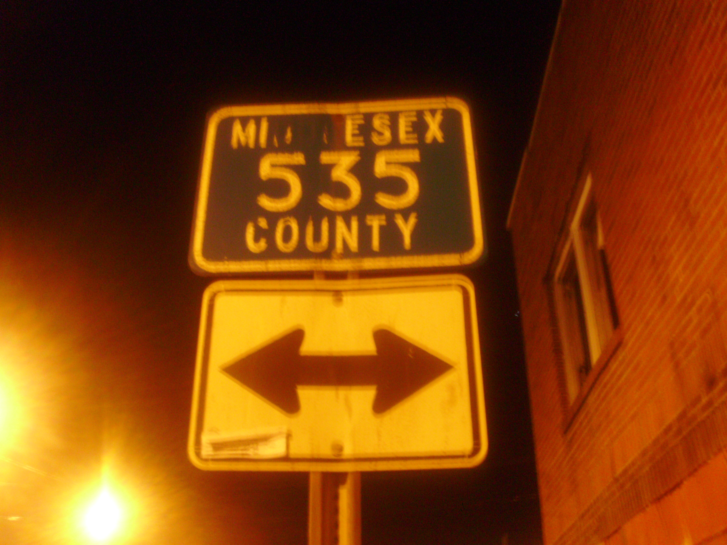
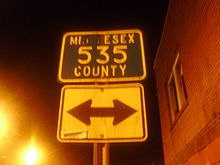 Old County Route 535 shield in Middlesex County.
The designation of Route 535 picks up East State Street at the Trenton city line and heads northeast into the Bromley neighborhood of Hamilton. It parallels the Northeast Corridor line between both municipalities' respective train stations before abruptly turning southeast at 1.9 miles (3.1 km), an intersection with Klockner Road. Now the East State Street Extension, 535 meets Interstate 295 with limited access at Exit 64. Traffic traveling "southbound" on 535 (traveling geographically north for this brief stretch) has a ramp leading to I-295 North toward Route 1 and I-95, while southbound traffic on the freeway can exit onto 535 North. From here, 535 continues toward Nottingham Avenue, and turns left at 3.29 miles (5.29 km), a few hundred feet east of where state route 33 merges onto Nottingham. Route 535 stays on this road for just 0.13 miles (0.21 km) before reaching a five-way intersection with Route 533 (Quakerbridge Road north of the intersection/White Horse-Mercerville Road south of it) and Nottingham, which is Route 618 as it travels southeast away from the intersection toward Hamilton Square.
Having regained its northeast direction, Route 535 moves through this intersection and becomes Edinburg Road. At 5.48, it leaves Hamilton for West Windsor, and bumps up against Mercer County Community College on the left. Just beyond the college is Mercer County Park, which is accessible through South Post Road (6.50 miles) or through the park's official west entrance (7.14). Just beyond this, at 7.39, the route meets a short concurrency with Route 526, which comes from Robbinsville Township to the south. Less than a quarter mile later, 526 turns due north again and heads for Princeton Junction. Route 535 continues to the northeast as Old Trenton Road, crossing into East Windsor at 10.65. At 11.02, it intersects Route 571, with the entrance to the Route 133 bypass of Hightstown visible to the right. At milepost 11.80, Route 535 crosses the Millstone River and into Middlesex County.
Route 535 is now traversing Cranbury, traveling for a shade under three miles (5 km) before reaching the township's Main Street. It turns left toward the downtown area, while Route 685 comes from the right and turns to continue down Old Trenton Road to its terminus at U.S. Route 130. Once through Cranbury, Route 535 turns right onto Plainsboro Road at 14.56 and merges into another short concurrency, this time with Route 130 at 14.87. After less than a tenth of a mile, it breaks off to the right, taking a north-by-northeast path toward the New Jersey Turnpike and the lower Raritan River valley.
At 16.83, Route 535 enters South Brunswick Township. Though signed at various points as Cranbury-South River Road, South River Road and Cranbury Road, it is officially only the latter. It meets Route 32 at 17.43, providing access to the Turnpike as it passes to the right. Originally traffic to and from the Turnpike used Route 32, but vehicles leaving the Turnpike now exit onto Route 535. At 18.41, Route 535 crosses under the Turnpike and runs along the boundary between South Brunswick and Monroe. It leaves the border for a short stretch starting at an intersection with Route 522 (19.68), then returns to what is now the township line with East Brunswick Township for a mile and a half. At 21.55, it enters East Brunswick completely.
Route 535 is one of the main thoroughfares of East Brunswick, along with Route 18, Ryders Lane and Dunhams Corner Road. The latter branches off at the same point 535 moves all the way into the township, banks hard to the right at East Brunswick Community Park just shy of the Turnpike, then rejoins Route 535 at 25.72. Route 535 intersects Ryders Lane at 23.86, passes East Brunswick High School on the right, then approaches a complex interchange with Route 18 at 25.74, providing access to New Brunswick and the Turnpike at Exit 9 to the northwest, Old Bridge and shore points to the south, and Spotswood via Route 613 (Summerhill Road). Route 535 itself continues north and crosses into the borough of South River at the crossing of the Old Bridge Turnpike (Route 527) at 25.94.
At 27.38, Route 535 crosses the South River via the Veteran's Memorial Bridge and into its final destination of Sayreville. Though "Main Street" (Route 670) breaks off at 27.99, Route 535 (Washington Road) serves the more densely populated southern half of the borough, as well as Sayreville War Memorial High School and Sayreville Middle School. At 30.51, 535 enters the outskirts of South Amboy though it comes up just short of the border between the two municipalities. A mile later, it crosses underneath the Garden State Parkway and reaches its northern terminus, an intersection with the other end of Sayreville's Main Street. The "Washington Road" designation follows a ramp off to the right and onto Main Street, continuing into South Amboy. Raritan Street continues another mile to an intersection with the concurrency of Route 9 and Route 35 on approach to the Edison Bridge and the Victory Bridge, respectively.
Major intersections
County Location Mile[1] Destinations Notes Mercer Trenton 0.00 CR 635 / Logan AvenueSouthern terminus Hamilton Township 2.55 I-295I-295 exit 64 3.42 CR 533 (Quaker Bridge Road)West Windsor Township 7.39 CR 526 east (Robbinsville Road)South end of CR 526 overlap 7.62 CR 526 west (Edinburg Road)North end of CR 526 overlap East Windsor Township 11.02 CR 571 (Princeton Hightstown Road)Middlesex Cranbury Township 14.87 US 130 southSouth end of US 130 overlap 14.96 US 130 northNorth end of US 130 overlap South Brunswick Township 17.43 Route 3219.68 CR 522East Brunswick Township 25.74 Route 18Interchange South River 25.94 CR 527 (Old Bridge Turnpike)Sayreville 31.75 CR 670 (Main Street)Northern terminus 1.000 mi = 1.609 km; 1.000 km = 0.621 mi See also
 U.S. Roads portal
 New Jersey portal
References
- ^ a b NJDOT County Route 535 Straight Line Diagram (PDF) (NJDOT) (Straight line diagram)
External links
Categories:- Transportation in Mercer County, New Jersey
- Transportation in Middlesex County, New Jersey
- County routes in New Jersey

Wikimedia Foundation. 2010.