- Newtown Creek
-
Newtown Creek Estuary  The Creek in Long Island City
Country United States State New York Municipality New York City Tributaries - left English Kills, Whale Creek - right Maspeth Creek, Dutch Kills Source Grand Avenue and 47th Street - coordinates 40°43′06″N 73°55′27″W / 40.718412°N 73.924127°W Mouth East River - location 2nd Street and 54th Avenue in Long Island City - elevation 0 ft (0 m) - coordinates 40°44′14″N 73°57′40″W / 40.73734°N 73.96112°W Length 3.5 mi (6 km) Discharge - average 59.3 cu ft/s (2 m3/s)  Newtown Creek and its tributaries
Newtown Creek is a 3.5 mi (6 km) estuary that forms part of the border between the boroughs of Brooklyn and Queens, in New York City, New York, United States. It derives its name from New Town (Nieuwe Stad), which was the name for the Dutch and British settlement in what is now Elmhurst, Queens. Channelization made it one of the most heavily used bodies of water in the Port of New York and New Jersey and thus one of the most polluted industrial sites in America,[1] containing years of discarded toxins, an estimated 30 million US gallons (110,000 m3) of spilled oil, and raw sewage from New York City’s sewer system.[1] Newtown Creek was proposed as a potential Superfund site in September 2009,[2] and received that designation on September 27, 2010.[3]
Contents
Course
The creek begins near the intersection of 47th Street and Grand Avenue on the Brooklyn-Queens border 40°43′06″N 73°55′27″W / 40.718412°N 73.924127°W at the intersection of the East Branch and English Kills.[4] It empties into the East River at 40°44′14″N 73°57′40″W / 40.73734°N 73.96112°W (2nd Street and 54th Avenue in Long Island City) opposite Bellevue Hospital in Manhattan at 26th Street. Its waterfront, and that of its tributaries Dutch Kills, Whale Creek, Maspeth Creek and English Kills, are heavily industrialized.
The creek has no natural waterflows. Its outgoing flow of 14,000 million US gallons (53,000,000 m3)/year consists of combined sewer overflow, urban runoff, raw domestic sewage, and industrial wastewater. Being estuarine, the creek is largely stagnant. Since there is no current in the creek, sludge has congealed into a 15-foot-thick (4.6 m) layer of “black mayonnaise” on the creek bed.[1]
 Mouth of the Creek, seen from Pulaski Bridge. Manhattan Avenue Bridge formerly connected Manhattan Avenue on the left bank to Vernon Boulevard
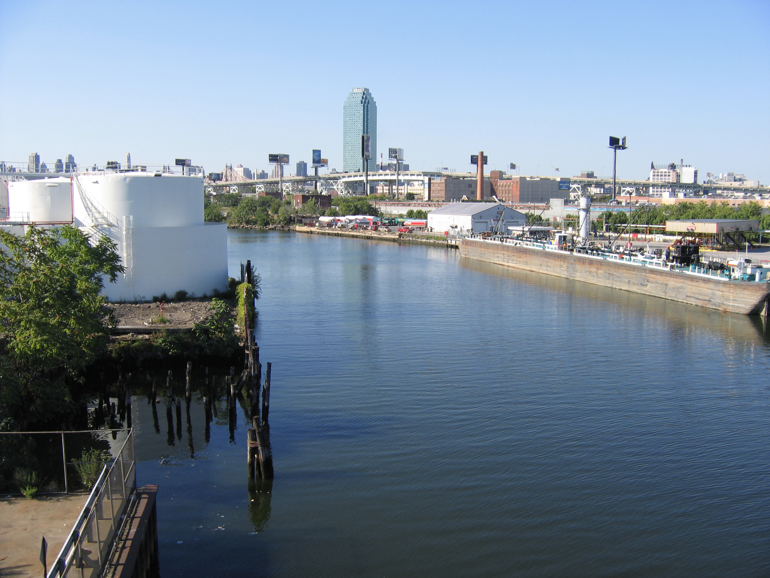
 Whale Creek fuel tanks
 Newtown Creek from the Greenpoint Avenue Bridge
History
Before the nineteenth century urbanization and industrialization of the surrounding neighborhoods, Newtown Creek was a longer and shallower tidal waterway, and wide enough that it contained islands. It drained parts of what are now the neighborhoods of Bushwick, Williamsburg and Greenpoint in Brooklyn; and Maspeth, Ridgewood, Sunnyside and Long Island City in Queens. During the second half of the nineteenth century it became a major industrial waterway, bounded along most of its length by retaining walls, the shipping channel maintained by dredging. The Montauk Branch of the Long Island Rail Road, mainly a freight line, runs along the North bank. A liquid natural gas port is under construction on the South bank, between Kingsland and Greenpoint Avenues, Whale Creek, and the main stream of Newtown Creek.[citation needed][5] In part to appease Greenpoint neighborhood residents angry at the expansion of the nearby sewage treatment plant, the city of New York built a nature walk alongside Newtown Creek in 2009. [6]
In 2007, residents of Greenpoint, Brooklyn and the New York State Attorney General's Office filed lawsuits regarding the Greenpoint Oil Spill that contained more than twice the oil of the Exxon Valdez oil spill.[7] On September 27, 2010, the United States Environmental Protection Agency designated Newtown Creek as a Superfund site, preparing the way for evaluation and environmental remediation of the stream. Environment advocacy groups supported the decision.[8]
Bridges
Newtown Creek is crossed by the Pulaski Bridge (replaced the Penny Bridge in the 1950s), the J. J. Byrne Memorial Bridge also known as the Greenpoint Avenue Bridge, and the Kosciuszko Bridge. Several bridges that cross its tributaries are named for the street that they carry, such as Grand Street Bridge and the Metropolitan Avenue Bridge. The Kosciuszko Bridge which is part of the Brooklyn Queens Expressway (BQE) designated I-278, all the other bridges are drawbridges. (Note: The Grand Street Bridge is a "Long Swing Type" Bridge)
 Tankers in the creek
See also
- Gowanus Canal
- Arthur Kill (Staten Island)
- Greenpoint, Brooklyn
- Hunters Point, Queens
References
- ^ a b c "Newtown Creek Clean-Up Efforts". The City Concealed. Thirteen (WNET.org). 2008-12-12. http://www.thirteen.org/thecityconcealed/2008/12/12/newtown-creek-clean-up-efforts/. Retrieved 2009-06-29.
- ^ "Newtown Creek Superfund Site". U.S. Environmental Protection Agency. http://www.epa.gov/region02/superfund/npl/newtowncreek/. Retrieved 2010-09-29.
- ^ Navarro, Mireya (2010-09-27). "Newtown Creek Is Declared a Superfund Site". The New York Times. http://www.nytimes.com/2010/09/28/nyregion/28newtown.html?hp. Retrieved 2010-09-27.
- ^ "Newtown Creek Alliance". Newtown Creek Alliance. http://newtowncreekalliance.org/history_a.htm. Retrieved 2010-02-21.[dead link]
- ^ Andrew Hurley, "Creating Ecological Wastelands: Oil Pollution in New York City, 1870-1900," Journal of Urban History 20 (May 1994), 340-361.
- ^ Korman, Benjamin (2011-09-01). ""Nature Does Not Knock"". http://www.7stopsmag.com/intentional-limitations/newtown-creek-construction-greenpoint/. Retrieved 2011-09-18.
- ^ Walker, Dalton (July 19, 2007). "Exxon Mobil Cleanup Effort Continues on Brooklyn Spill". The New York Times. http://www.nytimes.com/2007/07/19/nyregion/19clean.html. Retrieved 2010-02-21.
- ^ "US adds industrialized NYC creek to Superfund list". Business Week. Associated Press. 2009-09-28. http://www.businessweek.com/ap/financialnews/D9IH0CRO0.htm. Retrieved 2010-09-28.
External links
- Pictures of the Newtown Creek crossing
- Riverkeeper
- Newtown Creek Alliance
- Greenpoint v. Exxon
- Greenpoint Waterfront Association for Parks and Planning
- Green Brooklyn: Newtown Creek Category
- PBS: P.O.V.'s Borders: The Invisible Creek
- Forgotten New York -- A boat ride down Newtown Creek -- photos and history
- Newtown Creek Tours - An artist's led tour of Newtown Creek
- Video: exploring the wasted banks of Newtown Creek
- N.Y. Times: Between Queens and Brooklyn, an Oil Spill’s Legacy
Categories:- East River
- Rivers of New York
- Brooklyn
- Queens, New York City
- Superfund sites
- Port of New York and New Jersey
- Geography of Long Island


Wikimedia Foundation. 2010.