- Boonah, Queensland
-
"Boonah" redirects here. For the 1918 Spanish influenza infected ship off Fremantle, see Boonah crisis.
Boonah
Queensland
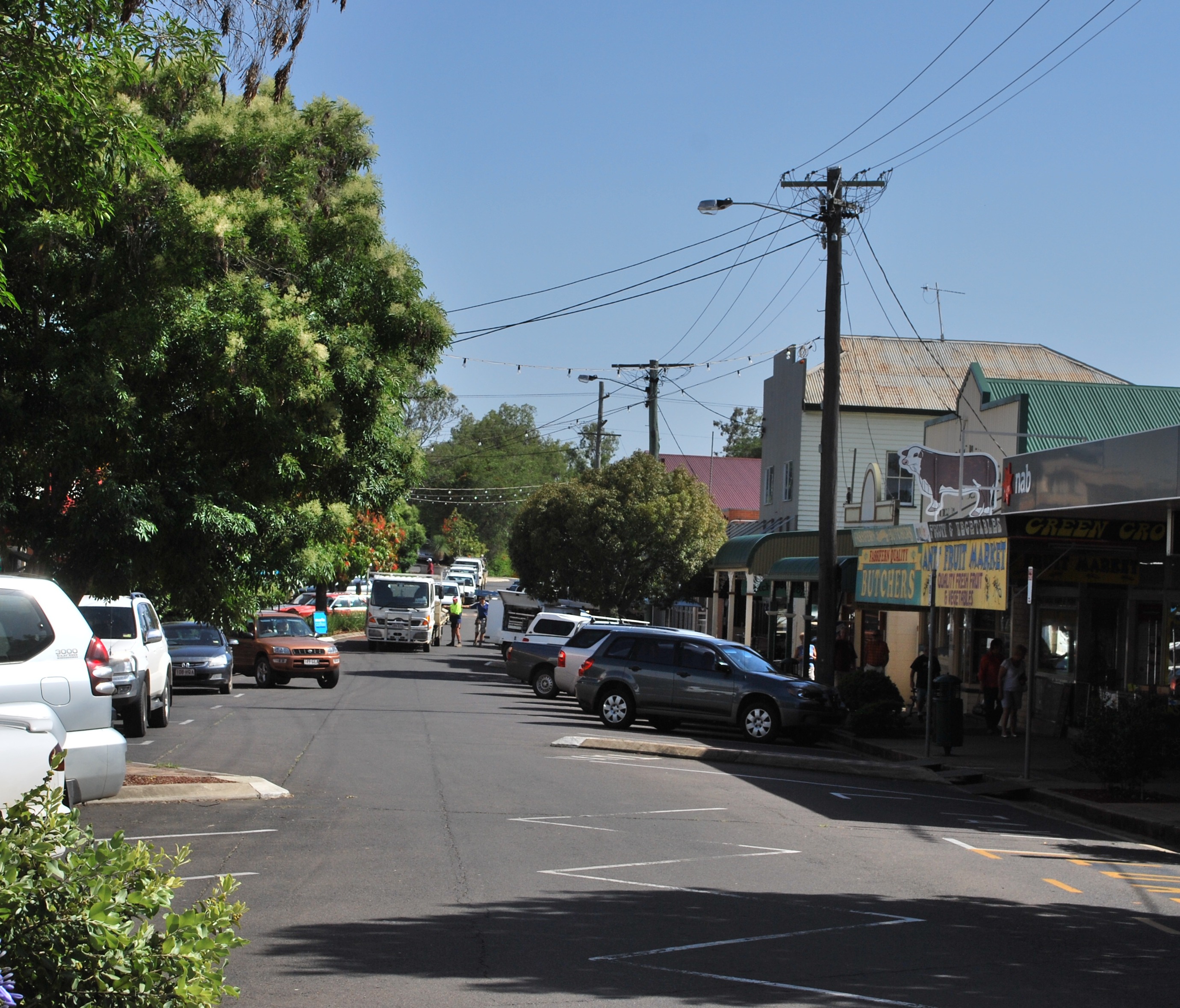
Main street of Boonah
 Boonah
Population: 2,285[1] Postcode: 4310 Coordinates: 27°59′50″S 152°40′54″E / 27.9972°S 152.6818°ECoordinates: 27°59′50″S 152°40′54″E / 27.9972°S 152.6818°E Location: - 88 km (55 mi) SW of Brisbane
- 48 km (30 mi) S of Ipswich
- 41 km (25 mi) W of Beaudesert
LGA: Scenic Rim Region State District: Beaudesert Federal Division: Blair Boonah is a town in south eastern Queensland, Australia. At the 2006 census, the town had a population of 2,285.[1] The area produces vegetables for the nearby Brisbane Markets notably carrots, potatoes, and cereal crops. Beef, pork and timber are also produced locally.
The town is positioned near the Fassifern Valley, McPherson Range and Main Range. It is surrounded by hills, including Mount French and other Moogerah Peaks. Frog Buttress is a popular rock climbing cliff on the north-west side of Mount French.
The town is serviced by the daily newspaper The Queensland Times and the weekly newspaper The Fassifern Guardian. The Bremer Institute of TAFE has a campus at Boonah, which has operated at limited functionality for several years due to cutbacks.
Contents
History
Boonah was established in 1882 as a service centre for the surrounding farms. Originally the area was known as Dugandan, after a farm that was occupied as early as 1844.[2] Later as a settlement grew it became known as Blumbergville. A railway line was built to the area[3] in 1887, with the name Boonah given to a rail siding.[2] The main commercial centre moved from Dugandan at the railway terminus, to Boonah after floods forced a shift of the settlement to higher grounds. Boonah was the centre of the Shire of Boonah local government area until council amalgamations occurred in 2008.
Dams
The controversial Wyaralong Dam is under construction east of Boonah on Teviot Brook, a tributary of the Logan River. At full supply level, water will inundate parts of the road connecting Boonah and Beaudesert, so a new section of road has been built at significant expense.[4]
Water for the town is supplied from Lake Moogerah on Reynold's Creek, a tributary of the Bremer River. Maroon Dam is another reservoir built 25 km south of Boonah at the base of the McPherson Range.
Climate
Boonah experiences sub-tropical climatic conditions typically with warm wet summers and mild dry winters. Boonah township is approximately 80 metres above sea level.
Average annual rainfall for the region is 866 mm, equating to an average of 89 days of rainfall. Temperatures range between daytime averages of mid thirty degrees Celsius in summer, to low twenty degrees Celsius in winter.
See also
External links
- Dugandan: Queensland Places
- Boonah: Queensland Places
- Dugandan Trinity Lutheran cemetery
- Information about Boonah, Queensland
References
- ^ a b Australian Bureau of Statistics (25 October 2007). "Boonah (Urban Centre/Locality)". 2006 Census QuickStats. http://www.censusdata.abs.gov.au/ABSNavigation/prenav/LocationSearch?collection=Census&period=2006&areacode=UCL307400&producttype=QuickStats&breadcrumb=PL&action=401. Retrieved 2008-01-27.
- ^ a b Queensland Environmental Protection Agency (2000). Heritage Trails of the Great South East. State of Queensland. p. 37. ISBN 0-7345-1008-X.
- ^ A Short History of the Fassifern Branch Line Armstrong, J. Australian Railway Historical Society Bulletin, February, 1969 pp. 26—47
- ^ Queensland Water Infrastructure Pty Ltd - Wyaralong Dam Project
Categories:- Towns in Queensland

Wikimedia Foundation. 2010.