- Sandy Creek (Ohio)
Geobox River
name = Sandy Creek
native_name =
other_name =
other_name1 =
image_size = 290
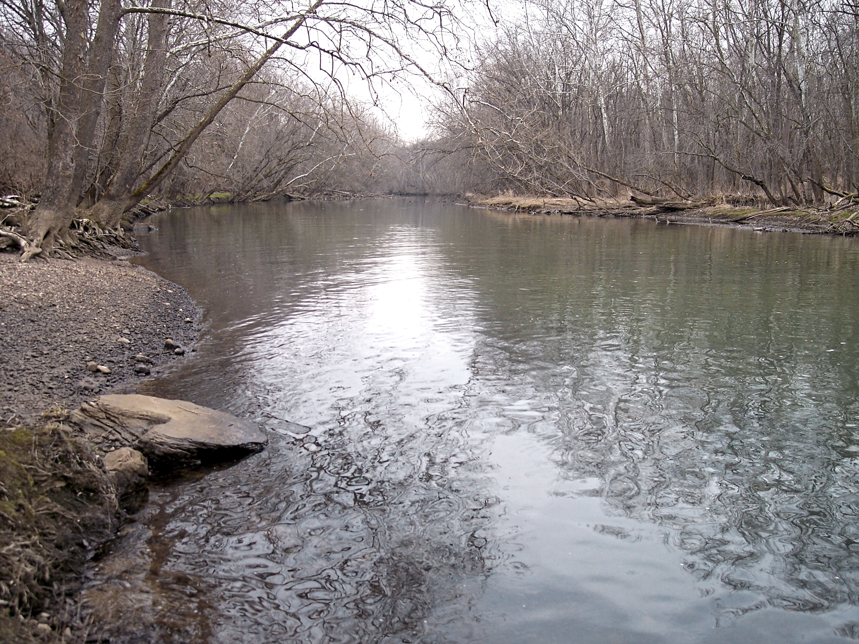
image_caption = Sandy Creek near its mouth, downstream of Bolivar Dam in 2006
image_first =
country = United States
state = Ohio
region =
region1 =
city =
city1 =
length =
length_imperial = 41.3
length_round = 1
length_note =cite web |url= http://www.dnr.state.oh.us/streams/chapter10.pdf |pages = [http://www.dnr.state.oh.us/streams/chapter10.pdf#page=11 p. 11] | title= Major Ohio Watersheds |accessdate=2007-01-12 |author= Ohio Department of Natural Resources |work= A Guide to Ohio Streams]
watershed_imperial = 503
watershed_note =
discharge_location = Waynesburg
discharge_average_imperial = 278
discharge_max_imperial = 15000
discharge_min_imperial = 6.9
discharge_note = cite web |url=http://pubs.usgs.gov/wdr/2005/wdr-oh-05/ |pages = [http://pubs.usgs.gov/wdr/2005/wdr-oh-05/pdf/vol_1/OHwy05vol1_Pt2.pdf Surface-water records, Surface-water records, Beaver through Muskingum River Basins (p. 41-77)] |title=USGS Ohio Water Resources Data, Water Year 2005. |first= J. P. |last=Mangus |coauthors=S. R. Frum |publisher=United States Geological Survey |accessdate=2007-05-21]
discharge1_location =
discharge1_average_imperial =
source_name =
source_location = Hanover Township
source_region = Columbiana County
source_lat_d = 40
source_lat_m = 46
source_lat_s = 19
source_lat_NS = N
source_long_d = 80
source_long_m = 54
source_long_s = 09
source_long_EW = W
source_coordinates_note =cite web |url=Gnis3|1066944 |title=GNIS entry for Sandy Creek (Feature ID #1066944)| author= Geographic Names Information System |authorlink=Geographic Names Information System |accessdate=2007-01-12]
source_elevation_imperial = 1323
source_elevation_note = [Google Earth elevation for GNIS source coordinates]
mouth_name = Tuscarawas River
mouth_location = Bethlehem Township
mouth_region = Stark County
mouth_elevation_imperial = 886
mouth_elevation_note = [Google Earth elevation for GNIS mouth coordinates]
mouth_lat_d = 40
mouth_lat_m = 39
mouth_lat_s = 28
mouth_lat_NS = N
mouth_long_d = 81
mouth_long_m = 26
mouth_long_s = 14
mouth_long_EW = W
mouth_coordinates_note =
tributary_left =
tributary_left1 =
tributary_right = Nimishillen Creek
tributary_right1 =
map_size =
map_caption =
map_first =Sandy Creek is a tributary of the
Tuscarawas River , 41.3 miles (66.5 km) long, in northeasternOhio in theUnited States . Via the Tuscarawas, Muskingum and Ohio Rivers, it is part of the watershed of theMississippi River , draining an area of 503 square miles (1,303 km²).Sandy Creek rises in Hanover Township, approximately two miles (3 km) northeast of Hanoverton in western Columbiana County and flows generally west-southwestwardly through northwestern Carroll County, southeastern Stark County and northeastern Tuscarawas County, past the communities of Minerva, Malvern, Waynesburg and Magnolia. It joins the Tuscarawas River from the east in Bethlehem Township in Stark County, approximately one mile (2 km) northeast of Bolivar. At Waynesburg it collects a short stream known as Little Sandy Creek [cite web |url=Gnis3|1042637 |title=Geographic Names Information System entry for Little Sandy Creek | accessdate=2007-01-12] . In Tuscarawas County it collects
Nimishillen Creek , which drains the city of Canton.cite book| title= Ohio Atlas & Gazetteer |year=1991 |publisher=DeLorme |location=Yarmouth, Me. |isbn= 0-89933-233-1 |pages= pp. 51-53]A
dry dam , Bolivar Dam, constructed by theU.S. Army Corps of Engineers , spans the creek near its mouth. [cite web | url = http://www.lrh.usace.army.mil/projects/lakes/bos/ | title = Bolivar Dam | author = United States Army Corps of Engineers | accessdate=2007-01-12]Flow rate
At the
United States Geological Survey 'sstream gauge in Waynesburg, the annual mean flow of the river between 1939 and 2005 was 278 ft³/s (8 m³/s). The highest recorded flow during the period was 15,000 ft³/s (425 m³/s) onJanuary 22 ,1959 . The lowest recorded flow was 6.9 ft³/s (0 m³/s) on an unspecified date.Variant names
According to the
Geographic Names Information System , Sandy Creek has also been known historically as:
*Big Sandy Creek
*Big Sandy River
*Elks Eye Creek
*Lamanshicolas Creek
*Lamenshikola Creekee also
*
List of Ohio rivers References
Wikimedia Foundation. 2010.