- Bolivar, Ohio
Infobox Settlement
official_name = Bolivar, Ohio
settlement_type = Village
nickname =
motto =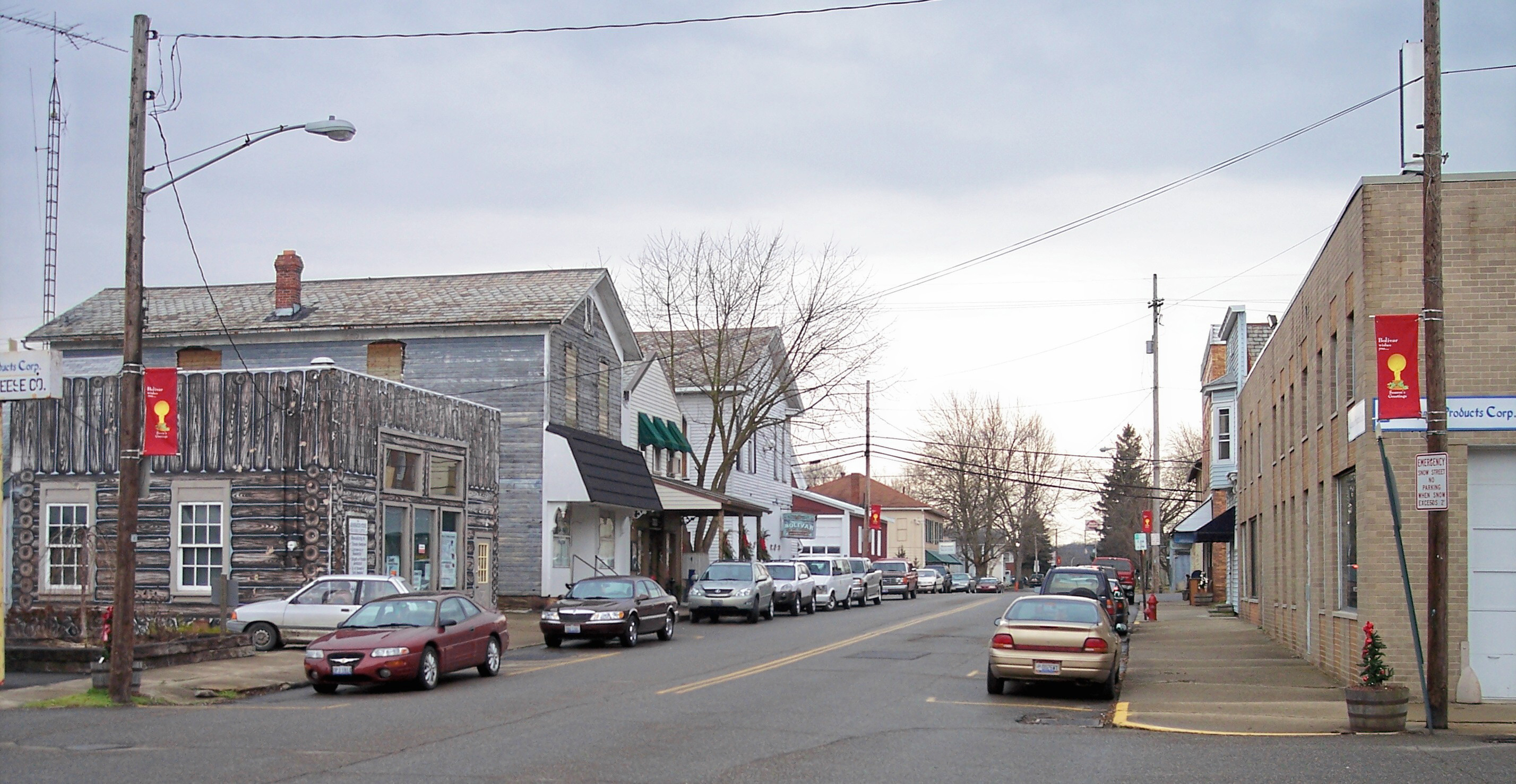
imagesize = 250px
image_caption = Canal Street in Bolivar in 2006
image_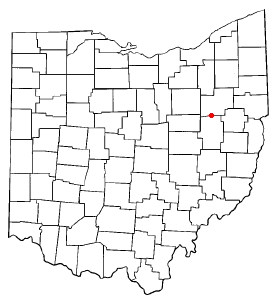
mapsize = 250px
map_caption = Location of Bolivar, Ohio
mapsize1 =
map_caption1 =subdivision_type = Country
subdivision_name =United States
subdivision_type1 = State
subdivision_name1 =Ohio
subdivision_type2 = County
subdivision_name2 = Tuscarawasgovernment_footnotes =
government_type =
leader_title = Mayor
leader_name = Patricia White
leader_title1 =
leader_name1 =
established_title =
established_date =unit_pref = Imperial
area_footnotes =area_magnitude =
area_total_km2 = 1.3
area_land_km2 = 1.3
area_water_km2 = 0.0
area_total_sq_mi = 0.5
area_land_sq_mi = 0.5
area_water_sq_mi = 0.0population_as_of = 2000
population_footnotes =
population_total = 894
population_density_km2 = 683.3
population_density_sq_mi = 1769.8timezone = Eastern (EST)
utc_offset = -5
timezone_DST = EDT
utc_offset_DST = -4
elevation_footnotes = GR|3
elevation_m = 282
elevation_ft = 925
latd = 40 |latm = 39 |lats = 0 |latNS = N
longd = 81 |longm = 27 |longs = 17 |longEW = Wpostal_code_type =
ZIP code
postal_code = 44612
area_code = 330
blank_name = FIPS code
blank_info = 39-07594GR|2
blank1_name = GNIS feature ID
blank1_info = 1064463GR|3
website =
footnotes =Bolivar is a village in Tuscarawas County,
Ohio ,United States . The population was 894 at the 2000 census.Geography
Bolivar is located at coor dms|40|39|0|N|81|27|17|W|city (40.650016, -81.454608),GR|1 along the
Tuscarawas River . [DeLorme (1991). "Ohio Atlas & Gazetteer". Yarmouth, Maine: DeLorme. ISBN 0-89933-233-1.]According to the
United States Census Bureau , the village has a total area of 0.5square mile s (1.3km² ), of which, 0.5 square miles (1.3 km²) of it is land and 1.96% is water.Demographics
As of the
census GR|2 of 2000, there were 894 people, 375 households, and 265 families residing in the village. Thepopulation density was 1,769.8 people per square mile (676.8/km²). There were 391 housing units at an average density of 774.0/sq mi (296.0/km²). The racial makeup of the village was 98.77% White, 0.56% Asian, 0.11% from other races, and 0.56% from two or more races. Hispanic or Latino of any race were 0.22% of the population.There were 375 households out of which 28.5% had children under the age of 18 living with them, 60.3% were married couples living together, 8.5% had a female householder with no husband present, and 29.3% were non-families. 26.9% of all households were made up of individuals and 15.5% had someone living alone who was 65 years of age or older. The average household size was 2.38 and the average family size was 2.89.
In the village the population was spread out with 23.9% under the age of 18, 6.9% from 18 to 24, 26.7% from 25 to 44, 26.1% from 45 to 64, and 16.3% who were 65 years of age or older. The median age was 40 years. For every 100 females there were 94.8 males. For every 100 females age 18 and over, there were 89.9 males.
The median income for a household in the village was $38,971, and the median income for a family was $46,250. Males had a median income of $39,904 versus $19,844 for females. The
per capita income for the village was $17,651. About 1.5% of families and 3.9% of the population were below thepoverty line , including none of those under age 18 and 10.4% of those age 65 or over.Notable natives and residents
* [http://www.patentstorm.us/inventors/Harry_Thomas_Graef-3125568.html Tom (Harry Thomas) Graef] corporate inventor,
Diebold , and multiple patent holder for the cash dispensingAutomated Teller Machine (ATM), member of innagural class of corporate inventors inducted into theNational Inventors Hall of Fame
*Matt Thiessen (lead singer ofChristian rock bandRelient K ), originally fromSt. Catharines, Ontario
*John Dagenhard , aMLB pitcher , resided here until his death.References
External links
Wikimedia Foundation. 2010.