- Sandy Creek (West Virginia)
Geobox River
name = Sandy Creek
native_name =
other_name =
other_name1 =
image_size = 300
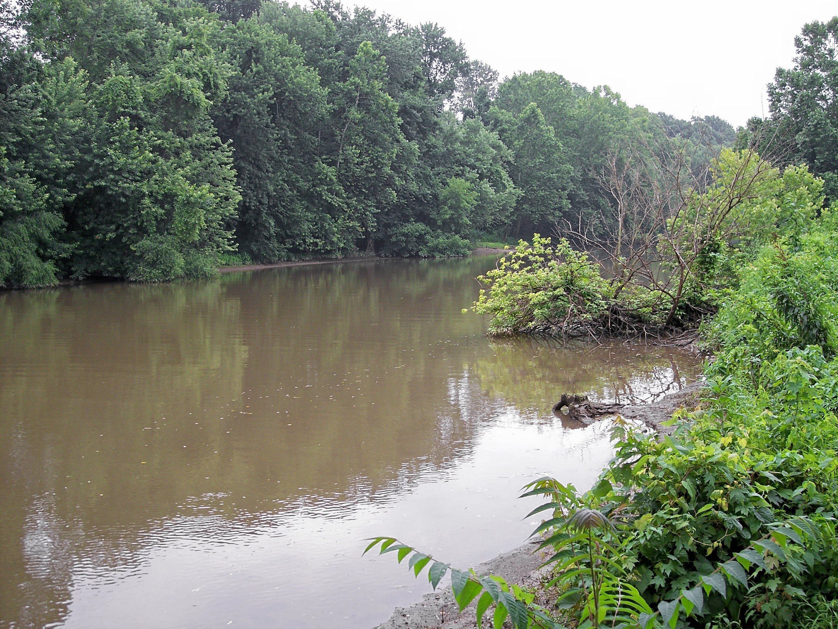
image_caption = Sandy Creek near its mouth in Ravenswood in 2006
country = United States
state = West Virginia
region =
region1 =
district =
district1 =
city =
city1 =
length_imperial =
watershed_imperial = 124
watershed_note = cite web |url= http://www.dep.state.wv.us/watershed/ |pages = [http://web.archive.org/web/20050404070631/www.dep.state.wv.us/watershed/w5030202.html Middle Ohio River 2] | title= Watershed Atlas Project. | author= West Virginia Department of Environmental Protection | accessdate=2007-03-22 |archiveurl= http://web.archive.org/web/20050404165853/www.dep.state.wv.us/watershed/ |archivedate=2006-05-07]
discharge_location =
discharge_imperial =
discharge_max_imperial =
discharge_min_imperial =
discharge1_location =
discharge1_imperial =
source_name = Left Fork Sandy Creek
source_location = South of Rockport, southeastern Wood County
source_district =
source_region =
source_state =
source_lat_d = 39
source_lat_m = 02
source_lat_s = 54
source_lat_NS = N
source_long_d = 81
source_long_m = 33
source_long_s = 37
source_long_EW = W
source_coordinates_note = cite web |url=Gnis3|1541719 |title=Geographic Names Information System entry for Left Fork Sandy Creek (Feature ID #1541719) |author=Geographic Names Information System |authorlink=Geographic Names Information System|accessdate=2007-03-22]
source_elevation_imperial = 1014
source_elevation_note =Google Earth elevation forGNIS source coordinates. Retrieved on2007-03-20 .]
source_length_imperial =
source1_name = Right Fork Sandy Creek
source1_location = northwestern Roane County
source1_district =
source1_region =
source1_state =
source1_lat_d = 38
source1_lat_m = 52
source1_lat_s = 22
source1_lat_NS = N
source1_long_d = 81
source1_long_m = 30
source1_long_s = 27
source1_long_EW = W
source1_coordinates_note = cite web |url=Gnis3|1545698 |title=Geographic Names Information System entry for Right Fork Sandy Creek (Feature ID #1545698) |author=Geographic Names Information System |authorlink=Geographic Names Information System|accessdate=2007-03-22]
source1_elevation_imperial = 879
source1_elevation_note =
source1_length_imperial =
source_confluence_location = South of Sandyville, northern Jackson County
source_confluence_district =
source_confluence_region =
source_confluence_state =
source_confluence_lat_d = 38
source_confluence_lat_m = 53
source_confluence_lat_s = 46
source_confluence_lat_NS = N
source_confluence_long_d = 81
source_confluence_long_m = 39
source_confluence_long_s = 28
source_confluence_long_EW = W
source_confluence_coordinates_note = cite web |url=Gnis3|1546404 |title=Geographic Names Information System entry for Sandy Creek (Feature ID #1546404) |author=Geographic Names Information System |authorlink=Geographic Names Information System|accessdate=2007-03-22]
source_confluence_elevation_imperial = 581
source_confluence_elevation_note =
mouth_name = Ohio River
mouth_location = Ravenswood, West Virginia
mouth_district =
mouth_region =
mouth_state =
mouth_lat_d = 38
mouth_lat_m = 56
mouth_lat_s = 43
mouth_lat_NS = N
mouth_long_d = 81
mouth_long_m = 45
mouth_long_s = 42
mouth_long_EW = W
mouth_coordinates_note =
mouth_elevation_imperial = 564
mouth_elevation_note =
tributary_left =
tributary_left1 =
tributary_right =
tributary_right1 =
free_name =
free_value =
map_size =
map_caption = :"For other uses, seeSandy Creek . For the tributary of the Cheat River in northern West Virginia, seeBig Sandy Creek (West Virginia) "Sandy Creek is a
tributary of theOhio River in westernWest Virginia in theUnited States . Via the Ohio River, it is part of the watershed of theMississippi River , draining an area of 124 square miles (321 km²) on the unglaciated portion of theAllegheny Plateau . According to theGeographic Names Information System , it has also been known historically as Big Sandy Creek and as Buffalo Creek. A 1906 report of the West Virginia Department of Archives transcribes the name in an unspecified Native American language as "Mol-chu-con-ic-kon." [cite book| author=Kenny, Hamill |title= West Virginia Place Names: Their Origin and Meaning, Including the Nomenclature of the Streams and Mountains |year=1945 |publisher=The Place Name Press |location=Piedmont, West Virginia |pages= p.553]Sandy Creek is formed in north-central Jackson County by the confluence of its left and right forks:
*The Left Fork Sandy Creek rises south of the community of Rockport in extreme southeastern Wood County, and flows south-southwestwardly through the western extremity of Wirt County into Jackson County, past the communities of Lockhart and Sandyville. The Left Fork is paralleled by the formerU.S. Route 21 (now acounty highway ) for most of its course.cite book| title= West Virginia Atlas & Gazetteer |year=1997 |publisher=DeLorme |location=Yarmouth, Me. |isbn= 0-89933-246-3 |pages= p. 33]
*The Right Fork Sandy Creek rises approximately five miles (8 km) west-southwest of Reedy in northwestern Roane County and flows generally westwardly into Jackson County, past the community of LeRoy.From the confluence of the left and right forks south of Sandyville, Sandy Creek flows west-northwestwardly, past the community of Silverton, to Ravenswood, where it flows into the Ohio River from the east. According to the West Virginia Department of Environmental Protection, approximately 80% of the Sandy Creek watershed isforest ed, mostlydeciduous . Approximately 19% is used for pasture and agriculture, and less than 1% is urban.ee also
*
List of West Virginia rivers References
Wikimedia Foundation. 2010.