- Darwin Falls
-
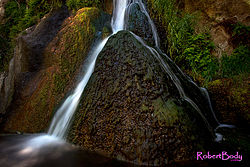
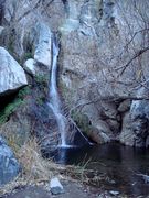
Darwin Falls is a waterfall located on the western edge of Death Valley National Park near the settlement of Panamint Springs, California. Although there exists a similarly named Darwin Falls Wilderness adjacent to the falls, the falls themselves are located in and administered by Death Valley National Park and the National Park Service. There are several falls, but they are mainly divided into the upper and lower with a small grotto in between. At a combined 80 feet (24 m), it is the highest waterfall in the park. The canyon is walled by dramatic plutonic rock.
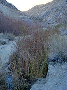
Darwin Creek is one of the four perennial streams in three million acre (12,000 km²) Death Valley National Park. Darwin Falls and Creek are fed by the Darwin Wash, which is in turn fed by the volcanic tableland of the Darwin Bench between the Inyo Mountains and the Argus Range. The small, narrow valley where the creek and falls are located features a rare collection of riparian greenery in the vast desert and is home to indigenous fauna such as quail. The falls themselves support several small fern gullys.
Darwin Falls, the Darwin Falls Wilderness, the nearby town of Darwin, California and all other areas named "Darwin" in the vicinity are named after Dr. Darwin French (1822–1902), a local rancher, miner and explorer.
Contents
Access
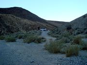
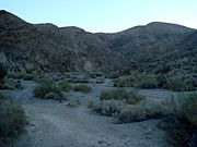
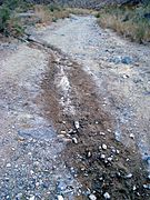
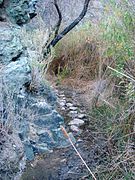
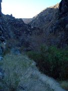
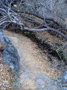
Darwin Falls is accessible to the public. The falls are located in a small,narrow valley near Panamint Valley. Access to the trail to Darwin Falls is a dirt road located on the south side of State Route 190, approximately ¼ mile (400 m) west of Panamint Springs. The lower falls (themselves approximately 20 feet (6 m)) are accessible with a short hike through Darwin Canyon that become moderately difficult towards the end. While this access point is usually accessible with a 2WD vehicle, there is an option to drive further with a 4WD vehicle to a spot further along the path around the canyon. The upper falls are viewable with moderate climbing.
A hike to Darwin Falls
- A photo progression of the approach to the falls
References
- Hike G9. Darwin Falls, Death Valley, Adventure Hikes and Canyoneering in the Southwest (pictures of the upper falls included)
- Darwin Falls, Todd's Desert Hiking Guide
External links
Coordinates: 36°19′14″N 117°31′31″W / 36.3206°N 117.5253°W
Death Valley and Death Valley National Park Fauna, flora and minerals Amargosa springsnail · Borax · Chuckwalla · Death Valley monkeyflower · Death Valley pupfish · Death Valley June beetle · Devil's Hole pupfish · Saratoga Springs pupfish
History Amargosa Opera House and Hotel · Badwater · Death Valley Railroad · Greenwater · Harmony Borax Works · Lake Manly (Badwater Basin) · Skidoo · Tonopah and Tidewater Railroad · Twenty-mule team
Places Amargosa Range / River / Valley · Ash Meadows NWR · Badwater Basin · Ballarat · Beatty · Black Mountains · Chloride City · Cottonwood Mountains · Darwin Falls · Death Valley Junction · Eureka Valley / Dunes · Funeral Mountains · Furnace Creek · Panamint City / Range / Springs / Valley · Racetrack · Rhyolite · Saline Valley · Saratoga Springs · Scotty's Castle · Stovepipe Wells · Telescope Peak · Trona · Ubehebe Crater · Zabriskie Point
Transportation Categories:- Waterfalls of California
- Landforms of Inyo County, California
- Protected areas of the Mojave Desert
- Death Valley National Park
Wikimedia Foundation. 2010.

