- Mu Ko Lanta National Park
-
Mu Ko Lanta National Park IUCN Category II (National Park)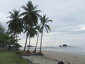
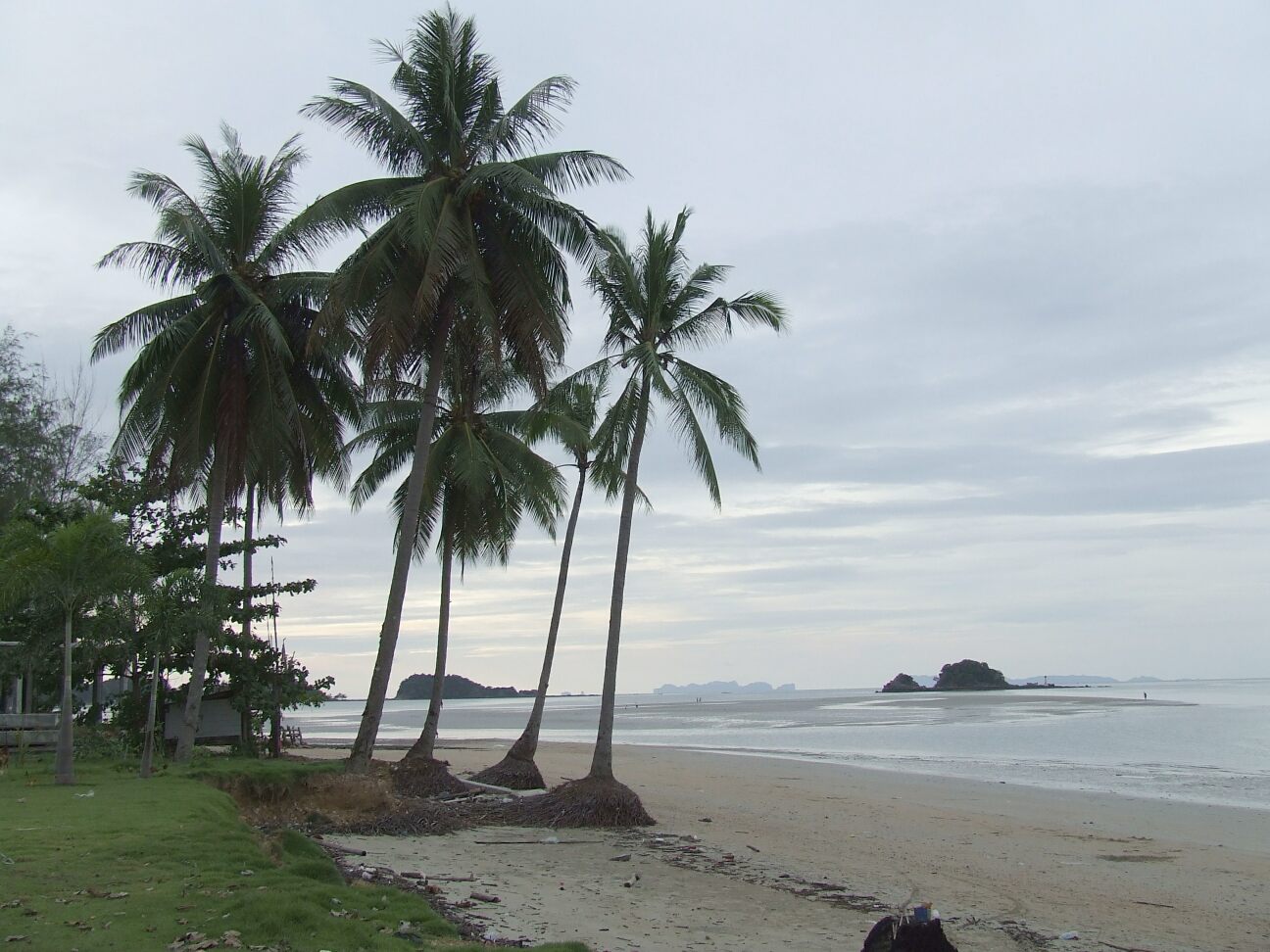
Koh Lanta BeachLocation Krabi Province, Thailand Area 134 km² Established 1990 Mu Ko Lanta National Park (Thai: อุทยานแห่งชาติหมู่เกาะลันตา) is a national park in the southern part of Krabi Province, Thailand, consisting of several islands. The two largest islands are Ko Lanta Noi and Ko Lanta Yai. Although both are inhabited, Ko Lanta Yai is the primary tourist destination. The park was established in 1990 and altogether covers 134 km².
History
Ko Lanta was once known by its Malay name, Pulao Satak, which means Long Beach Island. Later, many Thais, both Buddhist and Muslim, moved to the island making the island known as the island of “a million eyes” ("Lanta" in Thai). The name may also be derived from the Javanese "lan-tas", or fish grill (built of wood with a square grill on top where the fish are set in a circle).
Geography
Ko Lanta is mountainous and rugged, especially near the southern tip; some beaches are gravelly, while others have fine white sand.
A clan of Chao Ley, or “Sea Gypsies” lives on Ko Lanta Yai. The clan still practices many of their ancient customs and ceremonies, such as the setting of ceremonial boats adrift to bring good luck and prosperity on the full moon nights of the sixth and eleventh month.
Ko Lanta is surrounded by many islands of the southern Andaman Sea, known for their dive sites.
External links
National parks, forest parks and wetlands in Thailand National parks Budo-Su-ngai Padi · Chiang Dao · Doi Inthanon · Erawan · Hat Khanom - Mu Ko Thale Tai · Kaeng Chet Khwae · Kaeng Krachan · Kaeng Krung · Kaeng Tana · Khao Phra Wihan · Khao Luang · Khao Sok · Khao Yai · Khlong Lan · Khlong Phanom · Khlong Wang Chao · Kui Buri · Mae Yom · Mae Wong · Nam Nao · Namtok Chat Trakan · Pa Hin Ngam · Pha Taem · Phu Chong-Na Yoi · Phu Hin Rong Kla · Phu Kradueng · Phu Toei · Phu Wiang · Ramkhamhaeng · Salawin · Si Phang-nga · Si Satchanalai · Tai Rom Yen · Thale Ban · Than Sadet-Ko Pha-Ngan · Thap Lan · Thung Salaeng Luang
Marine national parks Ao Phang Nga (Phang Nga Bay) · Hat Chao Mai · Hat Nai Yang · Hat Nopharat Thara-Mu Ko Phi Phi · Khao Laem Ya-Mu Ko Samet · Khao Sam Roi Yot · Laem Son · Mu Ko Ang Thong · Mu Ko Chang · Mu Ko Lanta · Mu Ko Phetra · Mu Ko Similan · Mu Ko Surin · Tarutao
Forest parks Wetlands Categories:- IUCN Category II
- National parks of Thailand
- Protected areas established in 1990
Wikimedia Foundation. 2010.