- Khao Sam Roi Yot National Park
Infobox protected_area | name = Khao Sam Roi Yot National Park
iucn_category = II
caption =
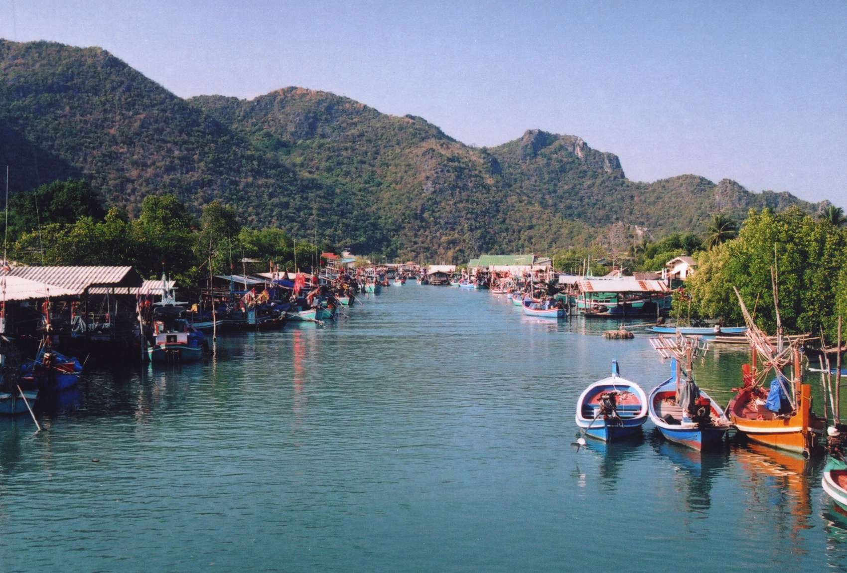
Harbor of Bang Pu
locator_x =
locator_y =
location =Prachuap Khiri Khan Province ,Thailand
nearest_city =
lat_degrees = 12
lat_minutes = 10
lat_seconds = 57
lat_direction = N
long_degrees = 99
long_minutes = 56
long_seconds = 54
long_direction = E
area = 98,08 km²
established =1966
visitation_num =
visitation_year =
governing_body =Khao Sam Roi Yot ( _th. เขาสามร้อยยอด) is a marine national park in Sam Roi Yot district,
Prachuap Khiri Khan Province ,Thailand . It covers 98.08 km², of which 20.88 km² are marine areas. The park was established in1966 , and was the first coastal national park of Thailand.Geography
The name Khao Sam Roi Yot means "Mountains with 300 peaks", which describes the landscape of the park quite well. The
limestone hills rise directly at the shore of theGulf of Thailand , with the highest elevation Khao Krachom 605m above sea level. Between the hills are freshwater marshes. However several of these marshes were converted into shrimp farms, as only 36 km² of the total 69 km² of marshes are part of the national park. 18 km² of these marshes are scheduled to be declared a Ramsar site.Two beaches are included in the park, Hat Laem Sala and the larger Hat Sam Phraya, near the park headquarter at Ban Khao Daeng.
Rare animals in the park include the
Mainland Serow ("Nemorhaedus sumatraensis"), Dusky Langurs ("Trachypithecus obscurus"), as well as many bird species. In the ocean occasionallyIrrawaddy Dolphin s ("Orcaella brevirostris") show up.History
The area of the Khao Sam Roi Yot was probably the site where King
Mongkut convened with European guests onAugust 18 1868 to observe a totalsolar eclipse . The king was very interested in astronomy and had calculated the date and location of the eclipse himself. However he contractedmalaria during that event, and died shortly later.Later kings also visited the area, especially the Phraya Nakhon cave. The cave consists of two caverns, illuminated by the collapsed roofs. For the visit of King
Chulalongkorn in1890 the Kuha Karuhas pavillon was built inside the cave. Later KingVajiravudh as well as the current kingBhumibol Adulyadej visited the cave.The national park was created on June 28 1966 [cite journal|journal=Royal Gazette|volume=83|issue=53 ก|pages=420–423|title=พระราชกฤษฎีกากำหนดบริเวณที่ดินป่าเขาสามร้อยยอด ในท้องที่ตำบลสามร้อยยอด ตำบลศิลาลอย อำเภอปราณบุรี และตำบลสามกระทาย ตำบลดอนยายหนู ตำบลเขาแดง อำเภอกุยบุรี จังหวัดประจวบคีรีขันธ์ ให้เป็นอุทยานแห่งชาติ พ.ศ. ๒๕๐๙|url=http://www.ratchakitcha.soc.go.th/DATA/PDF/2509/A/053/420.PDF|date=June 28 1966|language=Thai] . It was enlarged on April 1 1982 [cite journal|journal=Royal Gazette|volume=99|issue=46 ก special |pages=5–8|title=พระราชกฤษฎีกาขยายเขตอุทยานแห่งชาติป่าเขาสามร้อยยอด ในท้องที่ตำบลสามร้อยยอด ตำบลศิลาลอย ตำบลไร่เก่า อำเภอปราณบุรี และตำบลสามกระทาย ตำบลดอนยายหนู ตำบลเขาแดง อำเภอกุยบุรี จังหวัดประจวบคีรีขันธ์ พ.ศ. ๒๕๒๕|url=http://www.ratchakitcha.soc.go.th/DATA/PDF/2525/A/046/5.PDF|date=April 1 1982|language=Thai] .
Legends on Khao Sam Roi Yot
The giant Mong Li and his wife, who lived on the western coast of the Gulf of Thailand, had promised their daughter independently to Chao Lai and the
emperor of China. When the daughter became old enough to marry, both future husbands arrived at the same date. Mong Li then cut his daughter into two halves. Chao Lai turned himself into a hill, while the traditional fruit basket to be presented to a Buddhist monk has turned into the Khao Sam Roi Yot mountains. The islandsKo Chang and Ko Kong on the other side of the gulf were the elephant and the ox-cart with the wedding presents.Further reading
* Denis Gray, Collin Piprell, Mark Graham: "National Parks of Thailand". Communications Resources Ltd., Bangkok 1991, ISBN 974-88670-9-9
References
External links
* [http://www.dnp.go.th/parkreserve/asp/style1/default.asp?npid=8&lg=2 National Park, Wildlife and Plant Conservation Department]
* [http://www.arcbc.org.ph/wetlands/thailand/tha_khasamroiyot.htm ASEAN Regional Centre for Biodiversity Conservation]
* [http://www.frangipani.com/huahin/saroiyot.htm Bangkok Post article in the land use controversies]
* [http://www.thaibirding.com/locations/west/ksry.htm thaibirding.com on Khao Sam Roi Yot national park]
Wikimedia Foundation. 2010.