- Galiano Island
-
Galiano Island
Swiikw
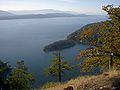
Hul'q'umín'um'— Island — View from Mount Galiano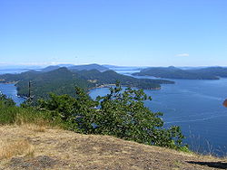

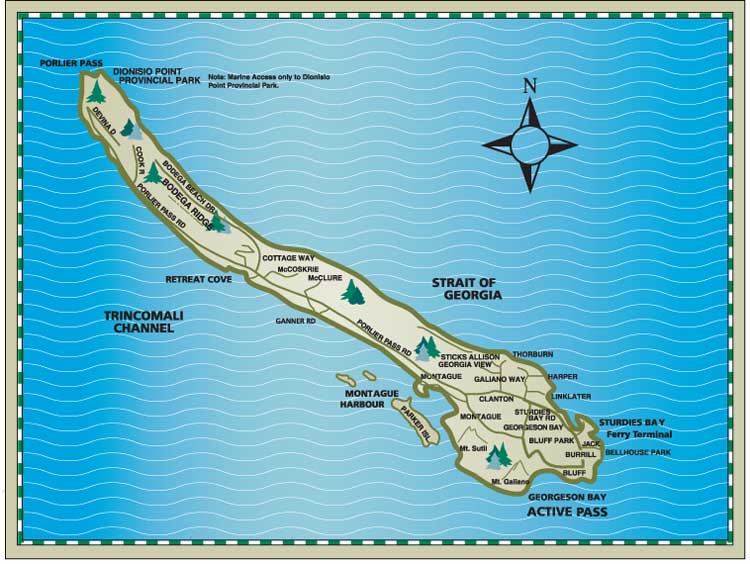
SealMotto: Confiamos en Nosotros (North Galiano) A map of the island
Country Canada Province British Columbia Region Southern Gulf Islands Regional District Capital Regional District Islands Trust Galiano Island Local Trust Area Government – MP Elizabeth May (Green Party of Canada) – MLA Murray Coell(BC Liberal Party) Area – Land 60.15 km2 (23.2 sq mi) Population – Total 1,258 – Density 20.9/km2 (54.1/sq mi) Time zone PST (UTC−8) – Summer (DST) PDT (UTC−7) Area code(s) 250 
Galiano Island is one of the Southern Gulf Islands between Vancouver Island and the Lower Mainland of British Columbia, Canada. Located on the west side of the Strait of Georgia, it is 27.5 km long, 6 km at its widest point, and 1.6 km across at its narrowest point and is separated from Saltspring Island by Trincomali Channel. On the western side of the island there are a series of sandstone caves. The island is northwest of Mayne Island, northeast of Saltspring Island and southeast of Valdes Island. It is part of the Capital Regional District Electoral Area G, and has a population of 1258 inhabitants.[1]
Named after the Spanish explorer Dionisio Alcalá Galiano, who explored the area in 1792,[2] (the island is twinned with his home city - Cabra in Córdoba province, Spain[3]). Galiano was long inhabited by aboriginal people from the Penelakut First Nation and used by other Coast Salish nations. Midden pits at Montague Harbour suggest 3000 years of habitation. Today there is only one Indian Reserve on the island, Galiano Indian Reserve No. 9, located at the northern tip of the island and under Penelakut administration.[4][5] Industries of the past were logging, fishing and charcoal-burning,[6] although today tourism and the arts are the most common methods of employment.
Contents
Government
Government bodies that oversee the island include Federal, Provincial and the Capital Regional District as well as the Islands Trust whose mandate is to establish land-use bylaws to "preserve and protect" the island, most notably in terms of development. For most of the twentieth century roughly half of the land on Galiano was owned by the logging firm MacMillan Bloedel. As a result, Galiano was not as extensively developed as neighboring islands. When the firm sold its holdings on Galiano, debate about development issues sharpened, and the Islands Trust set minimum lot sizes to limit development.
Local elections are held every three years to determine who will be the island's 2 Trustees.
Access
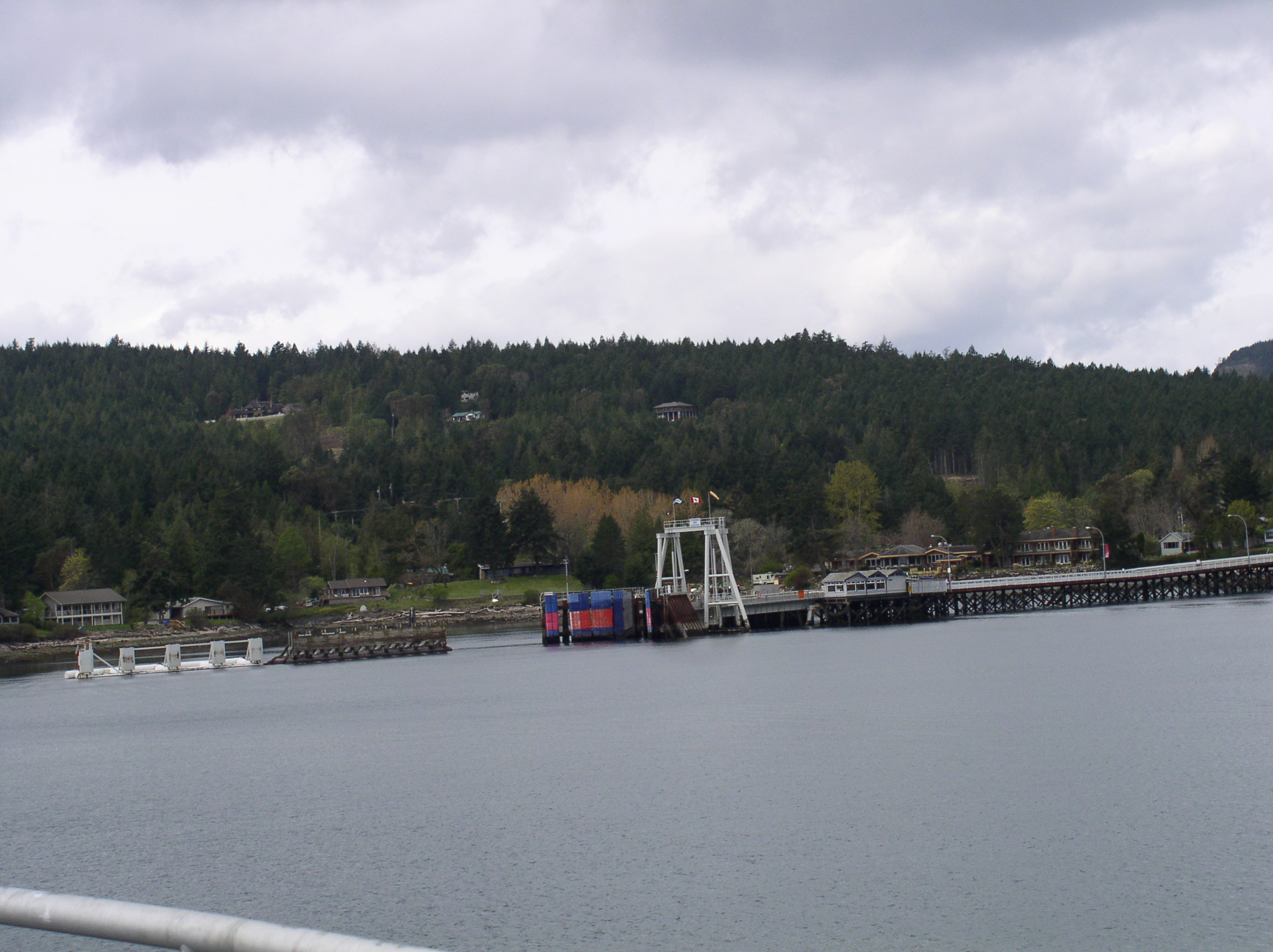
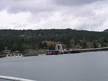 Sturdies Bay, the BC Ferries terminal
Galiano Island is accessible by vehicle via BC Ferries; the terminal is situated at Sturdies Bay, in the southeast corner of the island. This vehicle and passenger scheduled ferry service runs from Tsawwassen (Vancouver) on the mainland and Swartz Bay (Victoria) on Vancouver Island.
Moorage is available at several public wharves for boat traffic: Sturdies Bay, (walking distance to the Village), Montague Harbour, Whalers Bay and Retreat Cove.
Daily, regularly Scheduled floatplane service is offered from Downtown Vancouver and the Vancouver International Airport through Seair Seaplanes and Salt Spring Air to Montague Harbour. New in 2009, there is now regularly scheduled floatplane service from Seattle daily through Kenmore Air, either through Seattle-Tacoma International Airport, Kenmore Air Harbor and Seattle Lake Union.
Parks and Wildlife
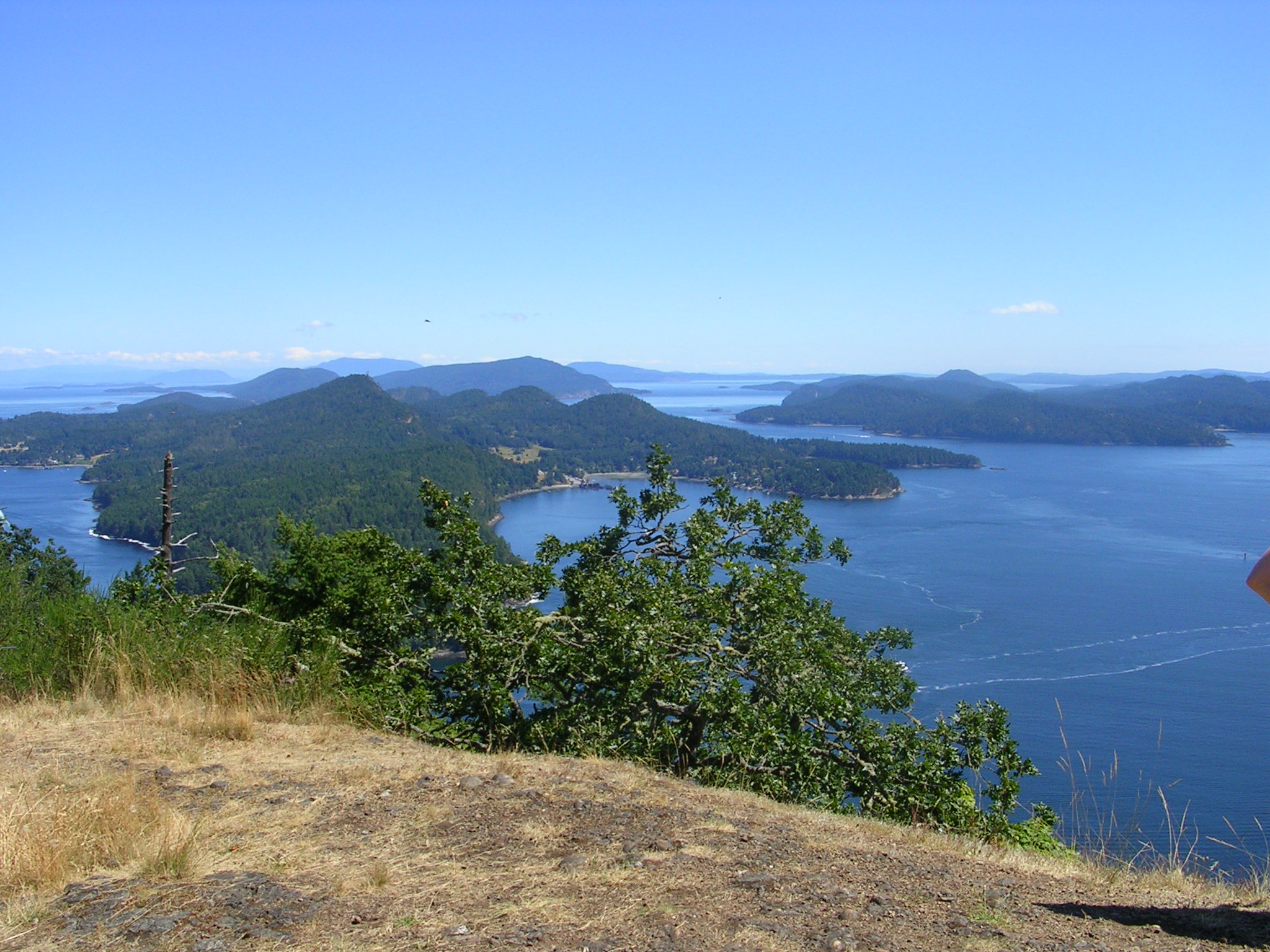
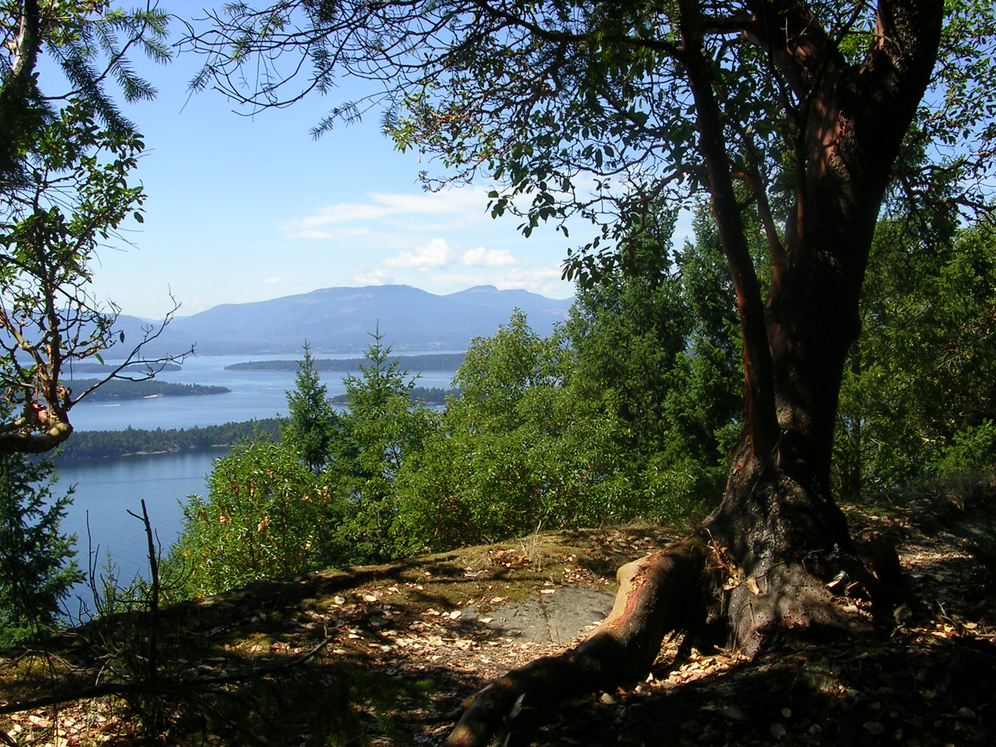
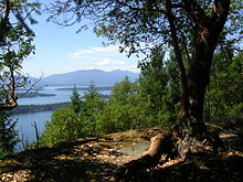 Bodega Ridge offers views over Trincomali Channel
Galiano Island has a large variety of animals and plants. In a major flight path for migrating birds, Galiano has hundreds of bird species.[citation needed] Commonly sighted are eagles, herons and cormorants. Off its shores are resident orca whales, seals, otters, sea lions and many varieties of sea life.
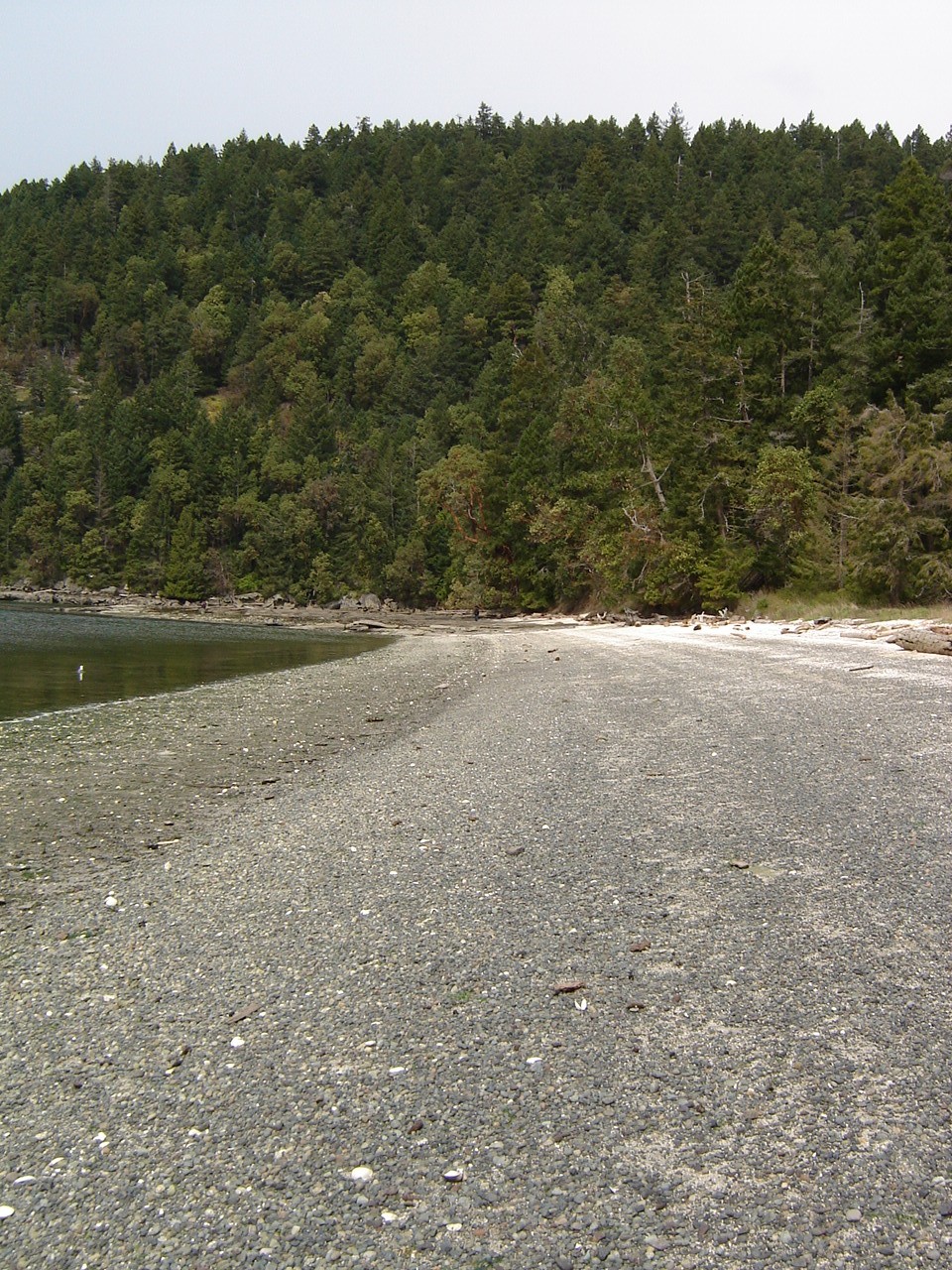
Montague Harbour Marine Provincial Park is one of the most popular parks in the Gulf Islands. It is unique for its Shell Beach, which is a west-facing beach with worn shells covering the whole expanse of the beach instead of sand. For thousands of years, it was the location of a midden used by Coast Salish people.[citation needed]
Montague Harbour is popular with the recreational boating community; the harbour is often crowded with yachts and sailboats during the warmer months of June, July, and August. The Park's mooring buoys are in limited supply and cannot be reserved, but the harbour is well sheltered if one chooses to anchor. A marina with moorage, gas dock, several small stores, and a cafe (summer only) is located at the southern end of the harbour. A public dock is near the marina.
 The view north along the shores of Shell Beach. The white of the shells can be seen in the distance.
Dionisio Point Provincial Park is a rugged natural park at the north end of the island with beautiful beaches that the local islanders call Coon Bay. Here you will find a unique shoreline with artistically sculpted sandstone formations, a sand beach for swimming, tidal pools, and colourful wildflowers and forests that fill this beautiful provincial park.
Bluffs Park[7] is Galiano's oldest wilderness park, established by community subscription in 1948. With 130 hectares, it extends far inland into virgin forest, as well having high cliffs and a long sandy beach.
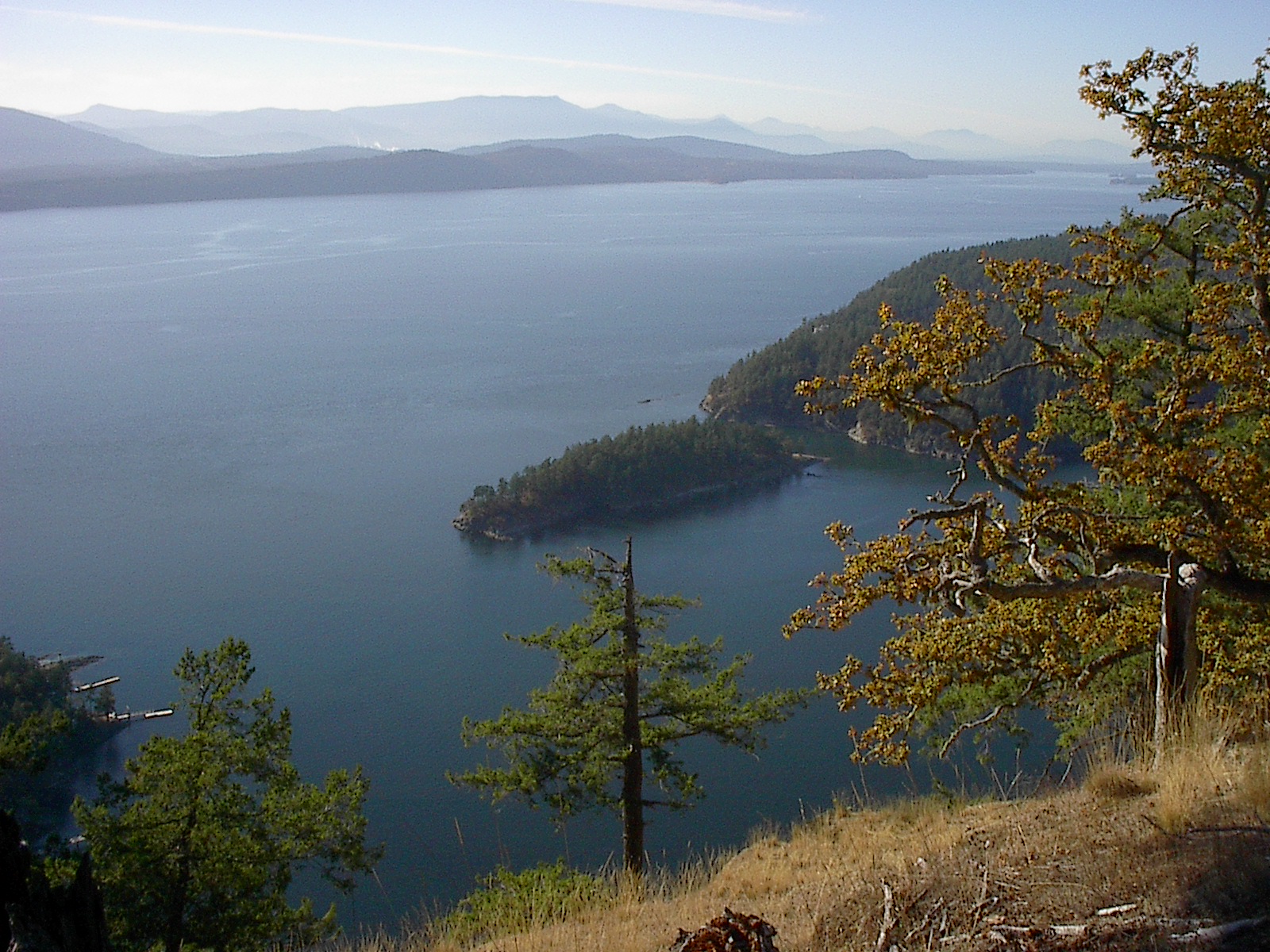
Mount Galiano[8] is Galiano’s highest point of land. The top will provide hikers with views over the Gulf Islands, the U.S. San Juan Islands and the distant mainland mountains.
Collinson Point Provincial Park is essentially the shoreline of Mount Galiano, and is important in protecting the marine life of the approaches to Active Pass.
Bodega Ridge Provincial Park consists of a ridge rising several hundred metres above sea level, with views over many of the Gulf Islands' hundreds of islands and islets and beyond to the mountains of the Olympic Peninsula. High cliffs are home to raptors like peregrine falcons and bald eagles, as well as trees like cedars and Douglas fir.
Infrastructure
The powerline HVDC Vancouver-Island crosses Galiano Island in southwestly direction as overhead powerline section, which ends at a cable terminal on Parker Island.
People on Galiano Island
- Judy Baca[9] (Summer)
- Senator Larry Campbell
- Iona Campagnolo (born on Galiano)
- Tamara Nile (born on Galiano)
- Svend Robinson
- Jane Rule
- Audrey Thomas
Gallery
-
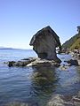
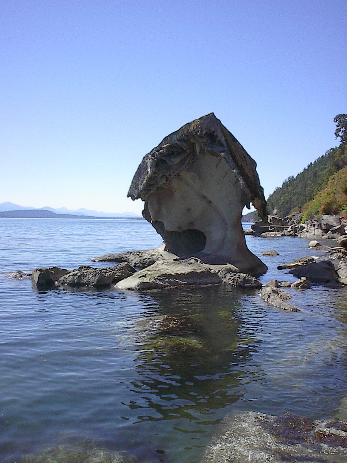
Mushroom Rock, Mid-Galiano
-
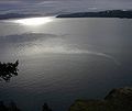
View from Mount Sutil
-
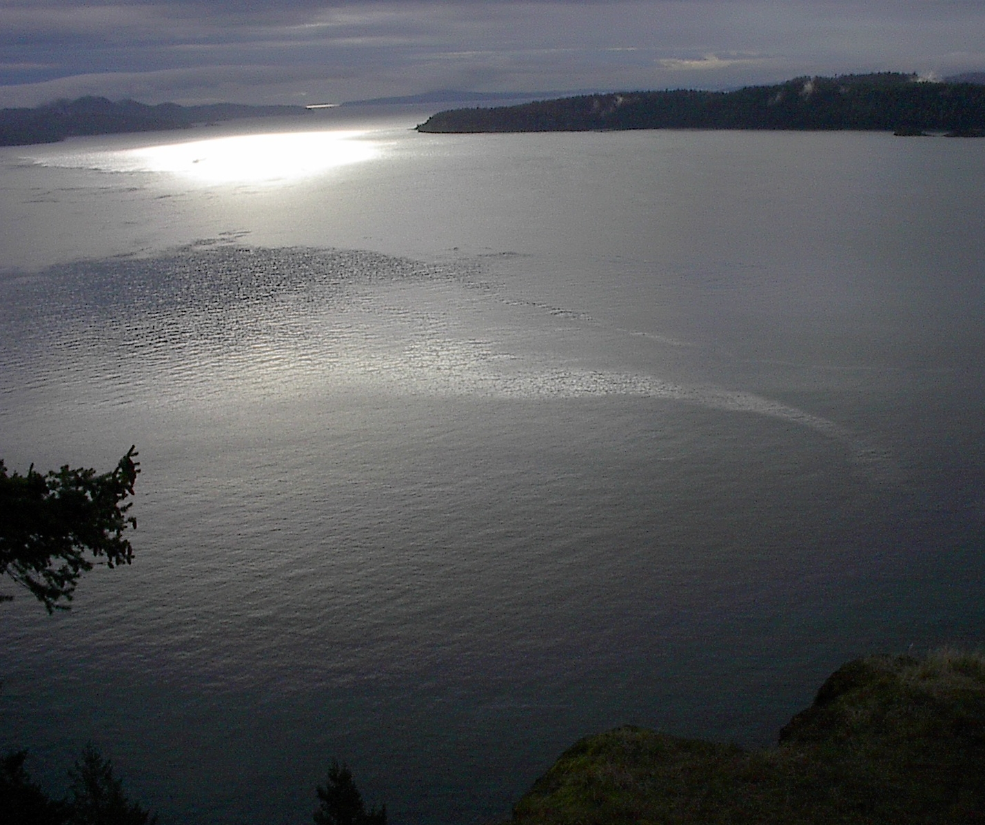
View from Mount Galiano, looking towards Victoria
See also
- List of islands of British Columbia
References
- ^ "Population and dwelling counts, for Canada, provinces and territories, and designated places, 2006 and 2001 censuses - 100% data". 2.statcan.ca. 2008-05-11. http://www12.statcan.ca/english/census06/data/popdwell/Table.cfm?T=1302&PR=59&S=0&O=A&RPP=25. Retrieved 2011-11-20.
- ^ "Galiano Island". BC Geographical Names. http://apps.gov.bc.ca/pub/bcgnws/names/5236.html.
- ^ "Asociación Cultural Dionisio Alcalá-Galiano - Inicio". Alcalagaliano.com. http://www.alcalagaliano.com/. Retrieved 2011-11-20.
- ^ "Galiano Indian Reserve 9". BC Geographical Names. http://apps.gov.bc.ca/pub/bcgnws/names/33539.html.
- ^ Indian and Northern Affairs Canada, Reserve/Settlement/Village Detail
- ^ "Gold Seal - West Coast Salmon History". Goldseal.ca. http://www.goldseal.ca/wildsalmon/salmon_history.asp?article=2. Retrieved 2011-11-20.
- ^ http://www.gulfislandseh.com/galiano/bluff.htm
- ^ http://www.gulfislandseh.com/galiano/mtgaliano.htm
- ^ "Judith F. Baca's Official Website". Judybaca.com. http://www.judybaca.com. Retrieved 2011-11-20.
External links
- Galiano Island Chamber of Commerce incl. Island Information and Map
- Galiano Island on www.britishcolumbia.com
- Galiano Museum
- Tourism BC | Galiano Island
The Gulf Islands of British Columbia Howe Sound Islands Northern Gulf Islands (major) Northern Gulf Islands (minor) Southern Gulf Islands (major) Gabriola • Galiano • Kuper • Mayne • North and South Pender • Saltspring • Saturna • Thetis • ValdesSouthern Gulf Islands (minor) Belle Chain Islets • Chain Islets • Chatham Islands • D'Arcy • Dayman • De Courcy • Discovery • James • Moresby • Mudge • Newcastle • North Secretary • Parker • Piers • Portland • Prevost • Protection • Ruxton • Sidney • Skull • Trial Islands • Wallace
Wikimedia Foundation. 2010.