Montague Harbour Marine Provincial Park
- Montague Harbour Marine Provincial Park
-
Montague Harbour Marine Provincial Park is a provincial park in British Columbia, Canada, located on Galiano Island, one of the Gulf Islands off BC's South Coast in Canada. It is accessible by BC ferries from Swartz Bay on Vancouver Island or Tsawwassen on the Mainland. The Island ferry terminal is at Sturdies Bay, about 6km from Montague.
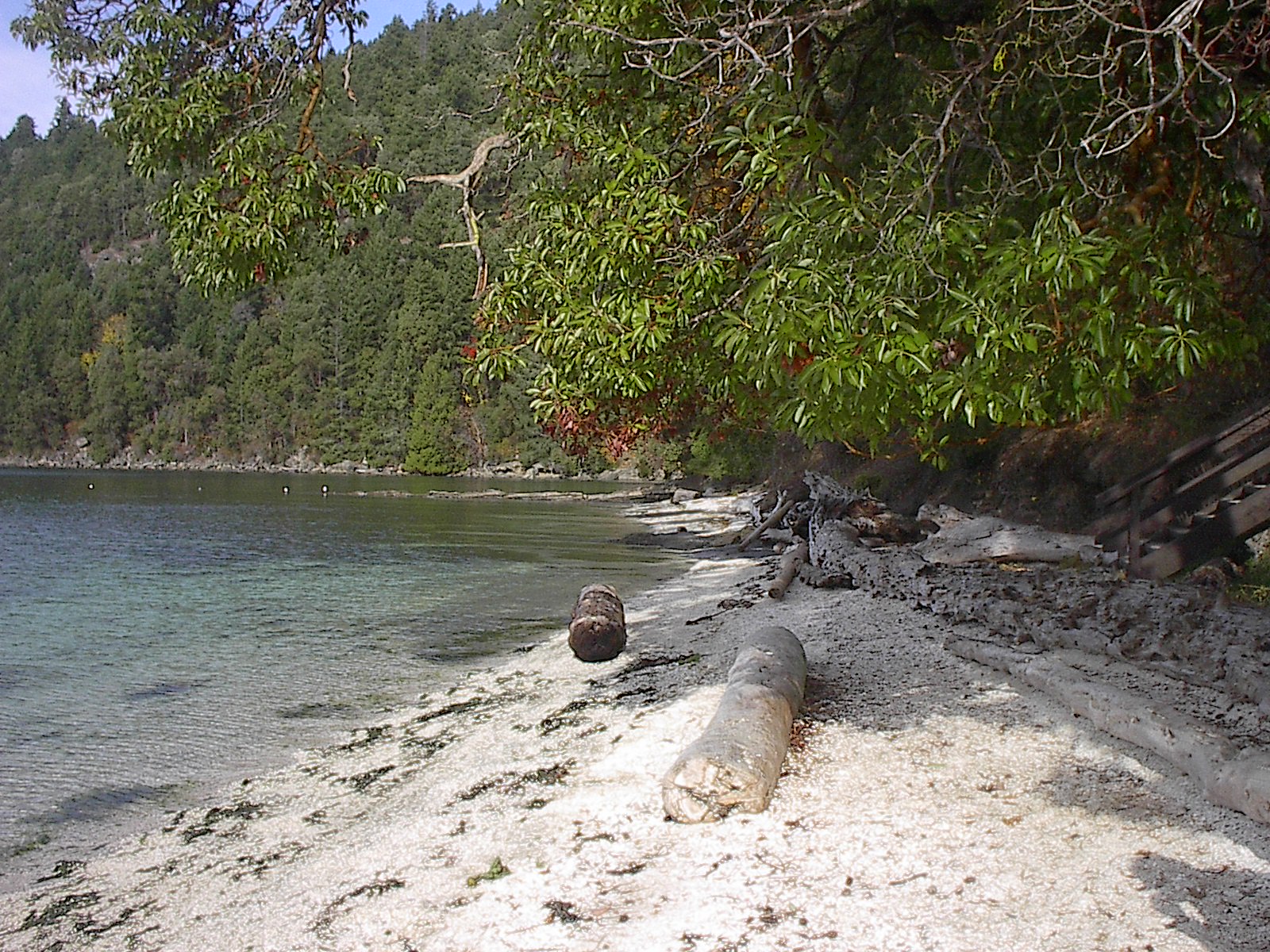
It is a very popular anchorage in the summer months and mooring buoys are provided by the park for visiting boats. It is also a popular spot for kayakers to stop for a night. The park has great camping with sites overlooking the water, picnic tables and pit toilets. It is on a peninsula with beaches and rock pools to play in and explore. There is a small marina within walking distance from the park which stocks basic supplies. Coordinates: 48°54′00″N 123°24′00″W / 48.9°N 123.4°W / 48.9; -123.4
-
Arbutus menziesii, giant specimen, Montague Harbour Marine Provincial Marine Park.jpg
-
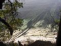
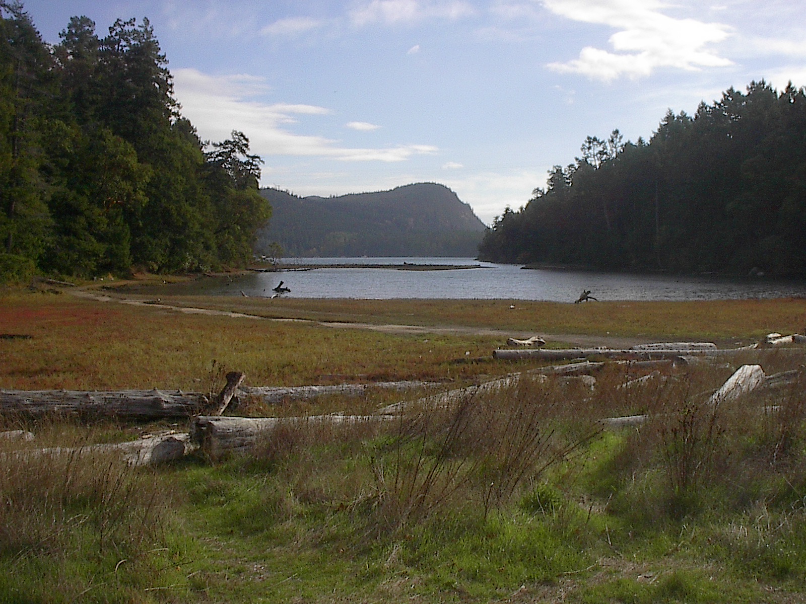
Looking down into reef, Montague Harbour Provincial Marine Park
-
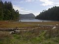
Montague Harbour Provincial Marine Park, tidal lagoon with view of Mt. Sutil.jpg
-
Memorial for Victims of the "Cap Rouge II" Shipwreck at Montague Park
-
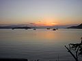
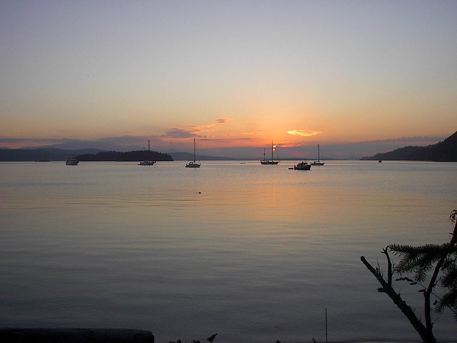
Sunset, Montague Harbour Marine Provincial Marine Park
References
Categories: - British Columbia protected area stubs
- Provincial Parks of British Columbia
- Galiano Island
Wikimedia Foundation.
2010.
Look at other dictionaries:
Provincial Parks in British Columbia — Karte der Provincial Parks in British Columbia Die kanadische Provinz British Columbia unterhält 620 Provincial Parks (Stand: November 2010). Damit besitzt die Provinz nach den kanadischen Nationalparks das größte Parksystem des Landes. Über 13,5 … Deutsch Wikipedia
List of British Columbia Provincial Parks — The following is a list of all British Columbia land currently managed by [http://www.env.gov.bc.ca/bcparks BC Parks] . Any parks that are closed are not currently listed.There were a number of provincial parks, protected areas and ecological… … Wikipedia
Galiano Island — Swiikw Hul q umín um Island View from Mount Galiano … Wikipedia
Gulf Islands — For the islands in the Hauraki Gulf of New Zealand, see Hauraki Gulf. Gulf Islands (highlighted) and surrounding region … Wikipedia
Georgetown, Prince Edward Island — Infobox Settlement official name = Georgetown other name = native name = nickname = settlement type =Town motto = imagesize = 200px image caption = Georgetown Post Office flag size = image seal size = image shield = shield size = city logo =… … Wikipedia
Galiano Island — Vorlage:Infobox Insel/Wartung/Fläche fehlt Galiano Island Blick vom Mount Galiano Gewässer Strait of Georgia … Deutsch Wikipedia
Prince Edward Island — This article is about the Canadian province. For the sub Antarctic islands, see Prince Edward Islands. For other uses of PEI, see Pei (disambiguation). Prince Edward Island Île du Prince Édouard (French) … Wikipedia
United States — a republic in the N Western Hemisphere comprising 48 conterminous states, the District of Columbia, and Alaska in North America, and Hawaii in the N Pacific. 267,954,767; conterminous United States, 3,022,387 sq. mi. (7,827,982 sq. km); with… … Universalium
Contenu:Australie — Projet:Australie/Liste des articles Liste mise à jour régulièrement par MyBot (d · c · b) à partir des articles liés au bandeau {{Portail Australie}} Modifications récentes des articles ayant le bandeau de ce portail… … Wikipédia en Français
Worthing — Infobox Settlement name = Worthing official name = Borough of Worthing other name = native name = nickname = Sunny Worthing settlement type = Town and Borough total type = Borough motto = Ex terra copiam e mari salutem (Latin: From the land… … Wikipedia