- Collinson Point Provincial Park
-
Collinson Point Provincial Park 
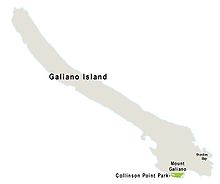
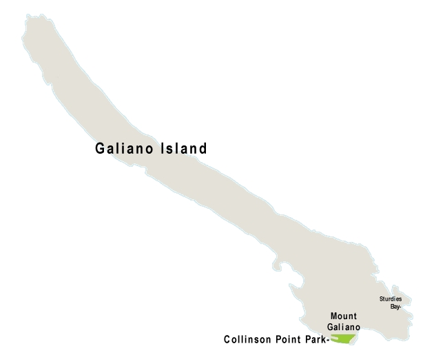
Type provincial park Location Galiano Island, British Columbia, Canada Area 24 hectares (59 acres) Created 2004 Website Collinson Point Provincial Park Collinson Point Provincial Park is a provincial park on Galiano Island, British Columbia, Canada. It is located between Mount Galiano and the western approaches to Active Pass. The area is 24 hectares, with c. 500 metres of waterfront.

Contents
History
The park was established in 2004[1] by acquisition from a private owner. Prior to 1988 it had belonged to the forest company MacMillan Bloedel as part of its Galiano holdings, which had previously belonged to the Vancouver Coal Mining and Land Company (which acquired them by colonial grant). MacMillan Bloedel built the Phillimore Point Trail which passes through the Park.
Geology
The main feature is soft sandstone of the Upper Cretaceous Nanaimo Group,[2] frequently exposed, otherwise with a thin overburden of podzolic soil. The sandstone is distinguished by its flowing, rounded forms; these appear to be volcanic bubbles but are actually the result of erosion by weathering. There are also areas of shale. The topograhy is steep, with occasional small plateaux; the park is basically the sheer southern slope of Mount Galiano.
Surroundings
The park shares a long common border with Mount Galiano Community Park, of which it is a de facto extension. Most of the remaining boundary is constituted by the shoreline. It is thus important for preserving life forms of both land and water.
Flora
The vegetation is typical of south-facing slopes in the Coastal Douglas Fir zone, intergrading with Garry Oak-Arbutus. Western Red Cedar (Thuja plicata) is abundant in the areas shaded by cliffs, and grassland is present in coastal areas. The grasslands and open woodlands have an abundance of wildflowers typical of this zone, notably Calypso bulbosa and Collinsia parviflora.
Fauna
The turbulent waters of Active Pass are a major source of food for marine life, thus seals can be found here, as well as bald eagles and cormorants. Because the park is part of an integral forest area, upland wildlife is also abundant, notably black-tailed deer and sooty grouse.
Tourism
Public access is difficult as the best entry crosses private property. There are no campsites or other facilities. The only way to hike in is via Mount Galiano Park, but this involves hard slogging. A preferable way is by kayak, and this is quite popular.
References
Coordinates: 48°51′42″N 123°21′42″W / 48.86167°N 123.36167°W
Categories:- Provincial Parks of British Columbia
- Galiano Island
Wikimedia Foundation. 2010.