- Oklahoma State Highway 132
-
State Highway 132
Route information Maintained by ODOT Length: 65.3 mi (105.1 km) Major junctions South end:  State Highway 51 west of Hennessey
North end:  K-179, Kansas state line
Highway system Oklahoma State Highways
Oklahoma turnpike system←  SH-131
SH-133  →
→State Highway 132, also known as SH-132 or OK-132, is a state highway in north-central Oklahoma. It connects State Highway 51 west of Hennessey to the Kansas state line near Manchester, running for 65.3 miles (105.1 km)[1]. It has no lettered spur routes.
Route description
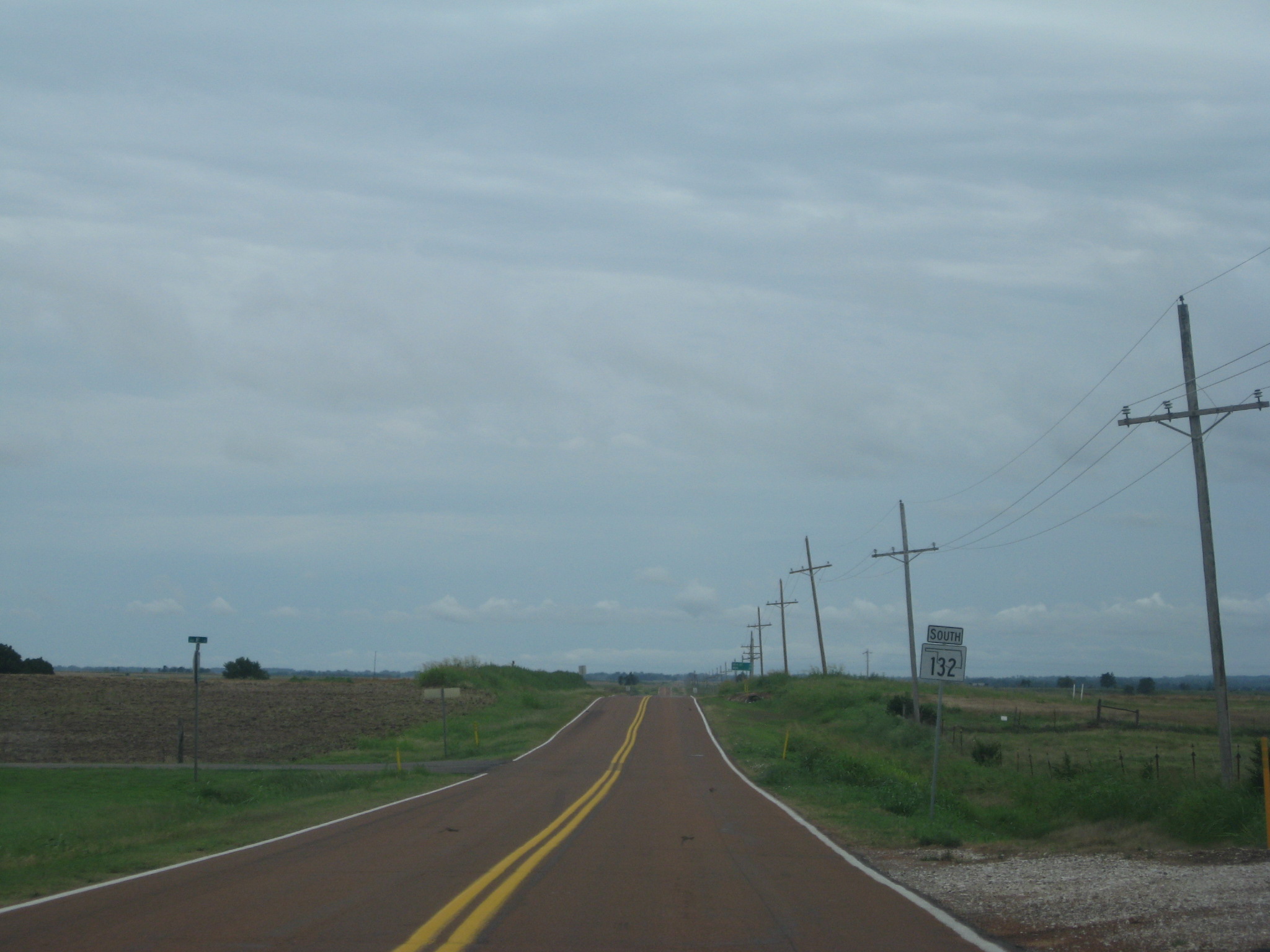
 Southbound SH-132 in Grant Co., just south of Manchester
SH-132 begins at State Highway 51 in rural Kingfisher Co. near the unincorporated community of Lacey. It heads north from there, bypassing Drummond to the east, before meeting U.S. Highway 60 west of Enid. It overlaps the U.S. route for one mile (1.6 km) before splitting back off to the north. Near Carrier, it crosses State Highway 45.
Through Nash, SH-132 overlaps US-64 for two miles (3 km) before splitting back off to the north. Its final highway junction is with State Highway 11, after which it passes through Manchester and ends at the Kansas state line, becoming K-179.
References
- ^ Stuve, Eric. "OK-132". OKHighways. http://www.okhighways.com/ok132.html. Retrieved 2006-12-08.
External links
Categories:- State highways in Oklahoma

Wikimedia Foundation. 2010.