- New York State Route 156
-
NYS Route 156
Route information Maintained by NYSDOT Length: 16.37 mi[2] (26.34 km) Existed: 1930[1] – present Major junctions West end:  NY 443 in Berne
East end:  NY 85A in Voorheesville
Location Counties: Albany Highway system Numbered highways in New York
Interstate • U.S. • N.Y. (former) • Reference • County←  NY 155
NY 157  →
→New York State Route 156 (NY 156) is a state highway in New York. The highway runs from the hamlet of Berne to the village of Voorheesville. A two-lane highway its entire length, NY 156 is entirely located within Albany County.
Contents
Route description
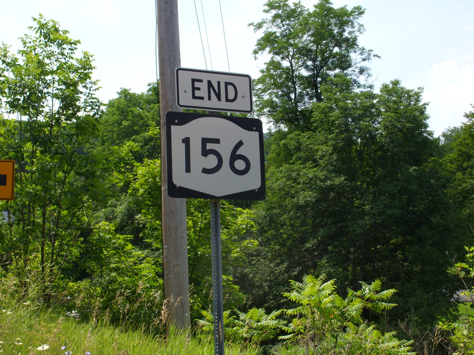
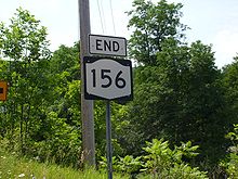 Sign depicting the end of NY 156
NY 156 begins in the hamlet of Berne at NY 443, the Helderberg Trail. Known in this stretch as Berne–Altamont Road, much of it is narrow and winding, passing through the hamlet of Knox. Heading northeastly, it meets NY 157, providing access to Thompson's Lake and Thacher Park. It then begins a descent of the Helderberg Mountains, winding downward as the speed limit drops and the route enters the village of Altamont.[3]
In Altamont, NY 156 misses NY 146 by one block with signs directing motorists to the other route. NY 156 turns eastward in the village, passing by an entrance to the Altamont Fairgrounds. Now on more level terrain, NY 156 heads southeasterly, assuming the name Altamont–Voorheesville Road, eventually ending at NY 85A in Voorheesville near the Voorheesville Elementary School.[3]
History
NY 156 was assigned as part of the 1930 renumbering of state highways in New York to what is now NY 146 from Gallupville to Altamont and its modern alignment from Altamont to Voorheesville.[1] The alignments of NY 146 and NY 156 west of Altamont were flipped ca. 1940, placing both routes on their modern alignments.[4][5] NY 156 originally followed NY 85A southeastward from Voorheesville to New Scotland, where both routes ended at NY 85.[6] The overlap between the two routes was eliminated when NY 156 was truncated to Voorheesville at some point between 1950 and 1965.[7][8]
Major intersections
The entire route is in Albany County.
Location Mile[2] Destinations Notes Berne 0.00 NY 443Knox 6.16 NY 157Western terminus of NY 157 Altamont 9.51  To NY 146 via Main Street (NY 912C)
Voorheesville 16.37 NY 85A1.000 mi = 1.609 km; 1.000 km = 0.621 mi References
- ^ a b Automobile Legal Association (ALA) Automobile Green Book, 1930–31 and 1931–32 editions, (Scarborough Motor Guide Co., Boston, 1930 and 1931). The 1930–31 edition shows New York state routes prior to the 1930 renumbering
- ^ a b "2008 Traffic Volume Report for New York State" (PDF). New York State Department of Transportation. June 16, 2009. p. 174. https://www.nysdot.gov/divisions/engineering/technical-services/hds-respository/NYSDOT%20TVR%202008%20by%20Route.pdf. Retrieved February 1, 2010.
- ^ a b Google, Inc. Google Maps – overview map of NY 156 (Map). Cartography by Google, Inc. http://maps.google.com/maps?sourceid=navclient&ie=UTF-8&rlz=1T4ADBF_enUS232US232&q=from:+Helderberg+Trail/RT-443+%4042.625550,+-74.133660+to:+Altamont+Rd/RT-156+%4042.658687,+-73.993842+to:Altamont+Rd/RT-156+%4042.653045,+-73.957304+to:Altamont+Rd/RT-156+%4042.649412,+-73.935302&um=1&sa=N&tab=wl. Retrieved March 24, 2008.
- ^ Standard Oil Company (1939). New York (Map). Cartography by General Drafting.
- ^ Gulf Oil Company (1940). New York Info-Map (Map). Cartography by Rand McNally and Company.
- ^ United States Geological Survey (1947). Albany, NY Quadrangle (Map). 1:250,000. Eastern United States 1:250,000. http://www.lib.utexas.edu/maps/topo/250k/txu-pclmaps-topo-us-albany-1947.jpg. Retrieved June 6, 2010.
- ^ United States Geological Survey (1950). New York – Albany Quadrangle (southwest corner) (Map). 1:62,500. 15-Minute Series. http://docs.unh.edu/NY/alby50sw.jpg.
- ^ Mobil (1965). New York (Map). Cartography by Rand McNally and Company.
External links
Categories:- State highways in New York
- Transportation in Albany County, New York

Wikimedia Foundation. 2010.