- Ohio State Route 689
-
State Route 689
Route information Maintained by ODOT Length: 7.52 mi[1] (12.10 km) Existed: 1937 – present Major junctions South end:  SR 160 near Wilkesville
North end:  SR 32 near Albany
Location Counties: Vinton, Meigs Highway system Ohio highways
Interstates • U.S. Routes • State Routes←  SR 687
SR 690  →
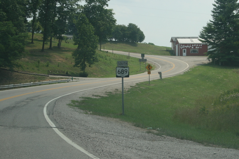
→ A view of the winding State Route 689 just inside the Meigs County line (from Albany, Ohio, Athens County) on State Route 32
.
State Route 689 (SR 689, OH 689) is a north–south state highway in the southern portion of the U.S. state of Ohio. Its southern terminus is at State Route 160 a mile north of Wilkesville, and its northern terminus is at State Route 32 about 6 miles (9.7 km) southwest of Albany.
Contents
Route description
State Route 689 passes through two counties along its path, Vinton and Meigs. This state highway is not included within the National Highway System.[2]
History
State Route 689 first appeared in 1937 along the routing that it currently occupies. Other than the fact that the route intersecting State Route 689 at its northern terminus was designated as State Route 346 instead of State Route 32 at its inception, there have been no major changes to the routing of this state highway.[3][4]
Major intersections
County Location Mile[1] Destinations Notes Vinton Wilkesville Township 0.00 SR 160Southern terminus at T-intersection. Meigs Columbia Township 7.52 SR 32Northern terminus. 1.000 mi = 1.609 km; 1.000 km = 0.621 mi References
- ^ a b Ohio Department of Transportation. "Technical Services Straight Line Diagrams". http://www.odotonline.org/techservapps/SLD/default.htm. Retrieved 2010-05-09.
- ^ Federal Highway Administration (December 2003) (PDF). National Highway System: Ohio (Map). http://www.fhwa.dot.gov/planning/nhs/maps/oh/oh_Ohio.pdf. Retrieved 2010-08-21.
- ^ Ohio Department of Transportation (1936). Ohio State Map (Map).
- ^ Ohio Department of Transportation (1937). Ohio State Map (Map).
Categories:- State highways in Ohio

Wikimedia Foundation. 2010.