- Oklahoma State Highway 25
-
State Highway 25
Route information Maintained by ODOT Section 1 Length: 12.07 mi (19.42 km) West end:  SH-2 in Pyramid Corners
East end: 
 US-59/69 in Narcissa
Section 2 Length: 5.20 mi (8.37 km) West end:  SH-10 east of Grove
East end:  Route O at the Missouri state line
Highway system Oklahoma State Highways
Oklahoma turnpike system←  SH-24
SH-24SH-26  →
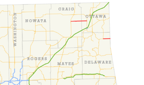
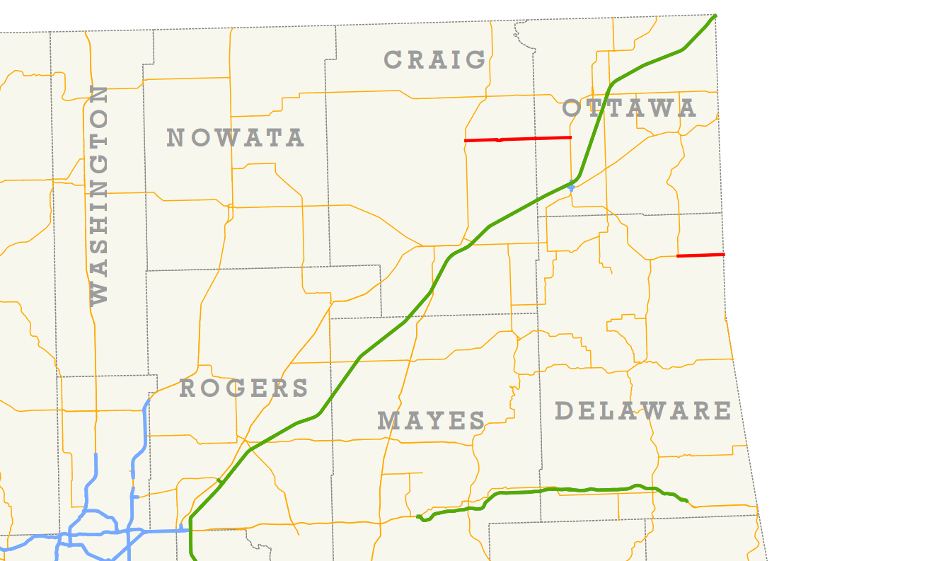
→State Highway 25 (SH-25/OK-25) is a state highway in northeastern Oklahoma with two nonconnecting sections. The northern section runs between the communities of Pyramid Corners and Narcissa, and the southern section runs from east of Grove to the Missouri state line.
Contents
Route description
Western section
The western section of SH-25 runs for 8.07 miles (12.99 km) in Craig County[1] and 4.00 miles (6.44 km) in Ottawa County[2], giving it a total length of 12.07 miles (19.42 km). The route runs due east–west for its entire extent and is mostly level.[3]
Highway 25 begins at the northern section of SH-2 at the unincorporated place of Pyramid Corners in Craig County. The road passes north of Timber Hill en route to Bluejacket. About 4 miles (6.4 km) east of SH-2, the highway reaches Bluejacket and runs through the town, crossing a railroad line just west of the town. Four miles further east, SH-25 passes into Ottawa County.[3] It then continues for exactly four miles further to its terminus at US-59/US-69 in Narcissa.[2]
Eastern section
The eastern section of SH-25 is 5.20 miles (8.37 km) long.[4] Like its western twin, the eastern SH-25 is arrow-straight, running due east–west, and experiences no gains or drops of elevation.[5]
This Highway 25 begins three miles (5 km) east of Grove, where SH-10 makes a 90° turn from east–west to north–south; SH-25 continues its east-west path. The highway passes through rural northeastern Delaware County, running through the Cowskin Prairie.[5] SH-25 terminates at the Missouri state line, where it becomes Route O. Route O continues through McDonald County, Missouri, eventually connecting Highway 25 to Route 43.
Junction lists
Western section
County Location Mile[1][2] Destinations Notes Craig Pyramid Corners 0.00 SH-2Western terminus Ottawa Narcissa 12.07 US-59 / US-69Eastern terminus 1.000 mi = 1.609 km; 1.000 km = 0.621 mi Eastern section
County Location Mile[4] Destinations Notes Delaware 0.00 SH-10Western terminus 5.20 Route OEastern terminus; Missouri state line 1.000 mi = 1.609 km; 1.000 km = 0.621 mi References
- ^ a b Oklahoma Department of Transportation. 2008 Control Section Maps (Map). p. Craig 18. http://www.odot.org/hqdiv/p-r-div/maps/control-maps/craig.pdf. Retrieved 2010-01-31.
- ^ a b c Oklahoma Department of Transportation. 2008 Control Section Maps (Map). p. Ottawa 58. http://www.odot.org/hqdiv/p-r-div/maps/control-maps/ottawa.pdf. Retrieved 2010-01-31.
- ^ a b DeLorme (2006). Oklahoma Atlas and Gazetteer (Map). 1:200,000. p. 26.
- ^ a b Oklahoma Department of Transportation. 2008 Control Section Maps (Map). p. Delaware 21. http://www.odot.org/hqdiv/p-r-div/maps/control-maps/delaware.pdf. Retrieved 2010-01-31.
- ^ a b DeLorme (2006). Oklahoma Atlas and Gazetteer (Map). 1:200,000. p. 27.
External links
Categories:- State highways in Oklahoma

Wikimedia Foundation. 2010.