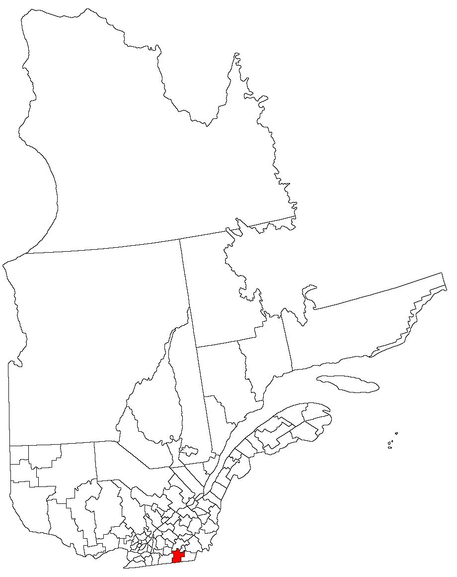
- Memphrémagog Regional County Municipality, Quebec
-
"Memphremagog" redirects here. For the lake, see Lake Memphremagog.
Memphrémagog — Regional County Municipality — Quebec 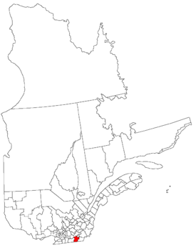
Coordinates (455, rue MacDonald, Magog[1]): 45°16′13″N 72°09′09″W / 45.27028°N 72.1525°WCoordinates: 45°16′13″N 72°09′09″W / 45.27028°N 72.1525°W Country  Canada
Province  Quebec
Region Estrie Incorporated January 01, 1982 County seat Magog Communities 17 Government[1] - Type Prefecture Area[2] - Land 1,318.74 km2 (509.2 sq mi) Population (2006)[2] - Total 45,310 - Density 34.4/km2 (89.1/sq mi) - Change (2001-06)  7.2%
7.2%- Dwellings 26,742 Time zone Eastern (UTC-5) - Summer (DST) EDT (UTC-4) Website www.mrcmemphremagog.com Memphrémagog is a Quebec Regional County Municipality in Canada.
Contents
History
After the signing of the Treaty of Paris on September 3, 1783, the American Revolutionary War ended with the establishment of the state of Vermont. The border of Upper Canada was then defined at approximately 45 degrees north latitude.[3][4] The territory immediately adjacent to it became part of Quebec in 1848.
Geography
Subdivisions
- Cities and Towns
- Magog
- Stanstead
- Municipalities
- Village municipalities
Demographics
Mother tongue language from Canada 2006 Census
Language Population Pct (%) French only 35645 79.66% English only 7785 17.40% Both English and French 325 0.73% Other languages 990 2.21% Access Routes
Highways and numbered routes that run through the municipality, including external routes that start or finish at the county border:[5]
- External Routes:
 I-91
I-91 US 5
US 5 VT 243
Bordering counties

La Haute-Yamaska Le Val-Saint-François Sherbrooke Brome-Missisquoi 
Coaticook  Memphrémagog

 United States
Orleans County (Vermont)References
- ^ a b Ministère des Affaires Municipales et Régions: Memphrémagog Regional County Municipality
- ^ a b 2006 Statistics Canada Community Profile: Memphrémagog Regional County Municipality, Quebec
- ^ Van Zandt, Franklin K. Boundaries of the United States and the Several States. Geological Survey Professional Paper 909. Washington, DC; Government Printing Office, 1976. The Standard Compilation for its subject. P. 12.
- ^ Parry, Clive, ed. Consolidated Treaty Series. 231 Volumes. Dobbs Ferry, New York; Oceana Publications, 1969-1981. Volume 48; pp. 481; 487; 491-492.
- ^ Official Transport Quebec Road Map
Administrative divisions of Estrie (Region 05)Regional county municipalities
and equivalent territoriesLe Granit · Les Sources · Le Haut-Saint-François · Le Val-Saint-François · Sherbrooke · Coaticook · Memphrémagog
Municipalities Lac-Mégantic · Asbestos · Danville · Cookshire-Eaton · East Angus · Scotstown · Valcourt (V) · Windsor · Richmond · Sherbrooke · Coaticook · Waterville · Stanstead (V) · Magog
Categories:- Regional county municipalities in Estrie
- Census divisions of Quebec
- Estrie geography stubs
- Cities and Towns
Wikimedia Foundation. 2010.