- North Scale
-
Coordinates: 54°07′11″N 3°15′18″W / 54.11978°N 3.25502°W
North Scale
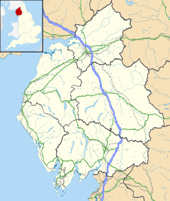
 North Scale shown within Cumbria
OS grid reference SD180700 Shire county Cumbria Region North West Country England Sovereign state United Kingdom Police Cumbria Fire Cumbria Ambulance North West EU Parliament North West England List of places: UK • England • Cumbria North Scale is a village and one of only four settlements on the Isle of Walney. It is a mile north of Vickerstown. As a royalist stronghold in the English Civil War it was briefly sieged by Parliamentarians.
Districts and Wards of the Borough of Barrow-in-Furness Main Settlements Districts Askam · Biggar · Dendron · Foulney Island · Holbeck · Ireleth · Lindal · Marton · Newton · North Scale · Piel Island · Port and Waterfront · Rampside · Roa Island · Roanhead · Salthouse · Sheep Island · Vickerstown · YarlsideWards Barrow Island · Central Barrow · Dalton North · Dalton South · Hawcoat · Hindpool · Newbarns · Ormsgill · Parkside · Risedale · Roose · Walney North · Walney SouthBorough of Barrow-in-Furness • Cumbria • North West England • United Kingdom Categories:- Villages in Cumbria
- Districts of Barrow-in-Furness
- Cumbria geography stubs
Wikimedia Foundation. 2010.

