- Bukit Timah Road
-
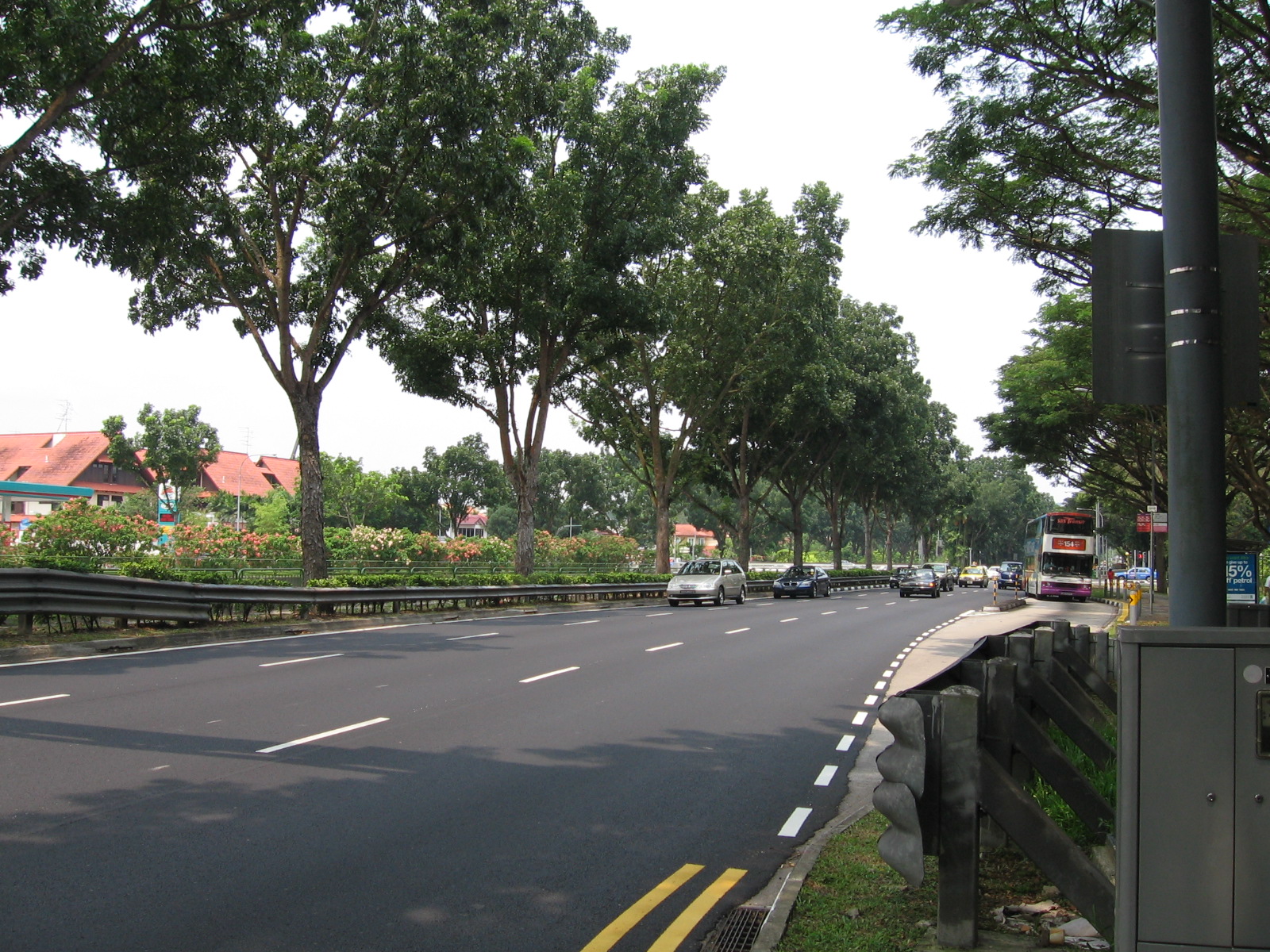
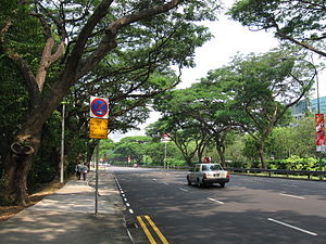 Bukit Timah Road, eastbound towards the city.
Bukit Timah Road (Chinese: 武吉知马路; Malay: Jalan Bukit Timah) is a major road in Singapore extending from the city centre to Woodlands Road on the way to Johor Bahru in Malaysia. The road has a distance of 25km (15.5 miles), which is one of the longest roads in Singapore, and the road takes its name from the hill. En route, it passes through the areas of Little India, Newton Road, Farrer Road, Singapore Botanic Gardens and Bukit Timah.
Bukit Timah Road splits into two roads at Newton Circus, the west-bound Bukit Timah Road and east-bound Dunearn Road, both of which straddle a canal along their entire lengths. Bukit Timah Road begins at the junction with Rochor Canal Road, Serangoon Road and Selegie Road just south of Tekka Centre as Bukit Timah Road, follows a canal in a northwest direction up to its junction with Clementi Road where it continues northwards as Upper Bukit Timah Road (武吉知马路上段) until the junction with Bukit Panjang Road and Choa Chu Kang Road near the Ten Mile Junction shopping mall as Woodlands Road. The road passes through the Bukit Timah Planning Area. Buildings named after the road are Bukit Timah Plaza and Bukit Timah Shopping Centre. This road also is affected with the North-South Expressway construction.
Contents
History
The road was built in 1845 and the area was populated with tigers that it was said to be a serious threat to humans. The first horseback ride in the island was along Bukit Timah in 1840, which took four days and was made by Mr Thomson and Dr. Little. In 1860, about 200 were killed by the tigers in and about the gambier and pepper plantations. The road was also the last defensive stand against the Japanese army in 1942. The British surrendered to the Japanese at the Old Ford Motor Factory at Upper Bukit Timah Road. A canal was built in later years between Dunearn Road and Bukit Timah Road to solve the flooding problem in the area. In the 1990s, a tunnel and a flyover was constructed namely the Bukit Timah Underpass and the Wayang Satu Flyover. The Newton Flyover exists since the 1970s which goes over the junction of Newton Circus.
Etymology

Bukit Timah Road is known as tek kha kang a ki in Hokkien, which means "the side of the stream in tek kha (Selegie Road) district". This only refers to the eastern end of the road. The Wayang Satu (Whitley) and Bukit Timah village were differently called. They also referred the road as bee chia lo bue, meaning the "end of the horse carriage road".
Landmarks
Along the road, major landmarks include Anglo-Chinese School (Barker Road), Balmoral Plaza, Coronation Plaza, Hwa Chong Institution, Kandang Kerbau Women's and Children's Hospital, Kampong Java Park, King Albert Park, Little India MRT Station, Methodist Girls' School, National Junior College, Nanyang Girls' High School, Newton Food Centre, Newton MRT Station, Singapore Botanic Gardens, Serene Centre, Tekka Centre, Ngee Ann Polytechnic at the junction of Bukit Timah/Dunrean road and upper Bukit Timah road and at Upper Bukit Timah Road, landmarks include Bukit Timah Plaza, Bukit Timah Market and Food Centre, Beauty World, Cheong Chin Nam Road, Hoover Park, Rail Mall and the Old Ford Motor Factory.
References
- Victor R Savage, Brenda S A Yeoh (2004), Toponymics A Study of Singapore Street Names, Eastern University Press, ISBN 981-210-364-3
Major roads in Singapore Alexandra Road · Ang Mo Kio Avenue 6 · Balestier Road · Bartley Road · Beach Road · Boundary Road · Bras Basah Road · Bukit Batok Road · Bukit Panjang Road · Bukit Timah Road · Changi Road · Choa Chu Kang Road · Clementi Road · Commonwealth Avenue · Dunearn Road · East Coast Road · Eu Tong Sen Street · Geylang Road · Holland Road · Jalan Ahmad Ibrahim · Jalan Besar · Jalan Boon Lay · Jalan Bukit Merah · Jalan Kayu · Jurong Island Highway · Jurong Road · Jurong West Avenue 2 · Kallang Bahru · Kallang Road · Kallang Way · Lentor Avenue · Lim Chu Kang Road · Lorong Chuan · Loyang Avenue · Mandai Road · Marine Parade Road · New Bridge Road · New Upper Changi Road · Nicoll Highway · North Bridge Road · Orchard Road · Outer Ring Road System · Pasir Panjang Road · Pasir Ris Drive 3 · Paya Lebar Road · Punggol Road · Queensway · River Valley Road · Robinson Road · Scotts Road · Sembawang Road · Serangoon Road · Shenton Way · Simei Avenue · Sims Avenue · South Bridge Road · Sungei Road · Tampines Avenue 5 · Tampines Road · Telok Blangah Road · Thomson Road · Upper Changi Road East · Victoria Street · West Coast Road · West Coast Highway · Woodlands Road · Woodlands Avenue 3 · Yishun Avenue 2 · Yio Chu Kang Road
 Categories:
- Roads in Singapore
- Bukit Timah
- Kallang
- Newton, Singapore
- Novena
- Rochor
- Tanglin

Wikimedia Foundation. 2010.