- Minnesota State Highway 43
-
Trunk Highway 43
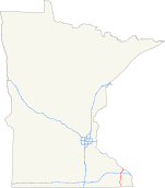
Highway 43 highlighted in redRoute information Maintained by Mn/DOT Length: 44.952 mi[1] (72.343 km) Existed: 1920 – present Major junctions South end:  MN 44 at Mabel
 MN 16 at Rushford
 MN 30 at Rushford
 I-90 at Wilson Township

 US 14 / US 61 at Winona
North end:  WIS 54 at the Mississippi River,
at Winona, MN — near Fountain City, WILocation Counties: Fillmore, Winona Highway system Minnesota Trunk Highways
Interstate • U.S. • State
Inter-County • County roads • Legislative routes←  MN 42
MN 42MN 44 →Minnesota State Highway 43 is a highway in southeast Minnesota, which runs from its intersection with State Highway 44 in Mabel and continues north to its northern terminus at the Wisconsin state line at Winona, where it becomes Wisconsin Highway 54 upon crossing the Mississippi River.
Highway 43 is 45 miles (72 km) in length.
Contents
Route description
State Highway 43 serves as a north–south route between Mabel, Rushford, and Winona in southeast Minnesota.
The route crosses the Root River in Fillmore County.
Highway 43 passes through the Richard J. Dorer State Forest.
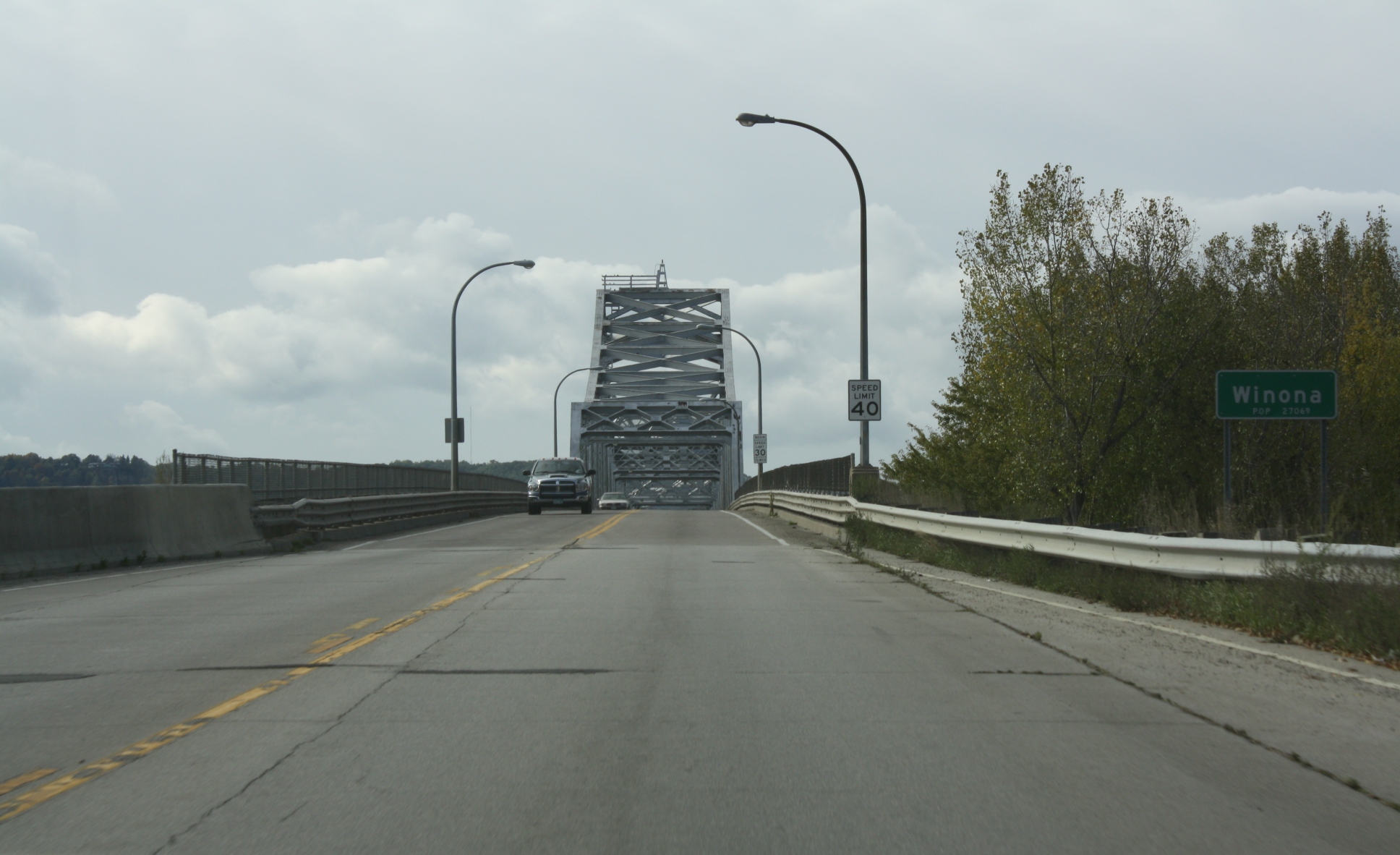
The northern terminus of Highway 43 is at the Mississippi River at Winona, where the route becomes Wisconsin Highway 54 upon crossing the Main Channel and North Channel bridges over the river to Wisconsin.
 The northern terminus of State Highway 43 looking southbound towards the city of Winona
History
State Highway 43 was authorized in 1920 between Rushford and Winona.[2] The remainder of the route between Rushford and Mabel was authorized in 1933.[3]
Highway 43 was paved from Wilson to Winona by 1929. The only gravel section remaining by 1940 was south of Rushford. The route was completely paved by 1953.[3]
A major project in the 1980s to rebuild Highway 43 from Interstate 90 to Winona as an expressway ran out of money. Only one carriageway was actually paved.[3] There is still visible road bed and bridges east of the roadway in this section.[4]
In response to the I-35W Bridge collapse in Minneapolis on August 1, 2007, all Minnesota bridges were ordered to be inspected. During an inspection, "gusset plate corrosion issues" were discovered in the Main Channel Bridge (Highway 43 / Highway 54), which crosses the Mississippi River between Winona, MN and nearby Fountain City, WI. The Main Channel Bridge (Bridge #5900) was closed to traffic on June 3, 2008. Mn/DOT made a statement this was due to gusset plate corrosion issues similar to those that caused the I-35W Bridge to collapse.[5] The Main Channel Bridge reopened to car traffic on June 14, 2008. Commercial vehicles were still directed to find alternate routes across the river. The bridge was scheduled for replacement in 2017, which has been moved up to 2014.
Major intersections
County Location Mile[1] Destinations Notes Fillmore Newburg Township 0.000 MN 443.264 CR 24 Norway Township 16.733 CR 10 Rushford Village 21.677 MN 16South end of MN 16 overlap Rushford 22.211 MN 16North end of MN 16 overlap 22.401 MN 30Winona Warren Township 32.381 I-90West end of I-90 overlap Wilson Township 35.186 I-90East end of I-90 overlap Wilson 35.419 CR 12 Winona 41.835 CR 17 (Homer Road) 42.100 US 61 / US 14Mississippi River 45.334 WIS 541.000 mi = 1.609 km; 1.000 km = 0.621 mi
Concurrency terminus • Closed/Former • Incomplete access • UnopenedReferences
- ^ a b "Trunk Highway Log Point Listing - Construction District 6" (PDF). Minnesota Department of Transportation. August 23, 2010. http://www.dot.state.mn.us/roadway/data/reports/logpoint/d6.pdf. Retrieved October 20, 2010.
- ^ Minnesota State Legislature (2010). "§ 161.114, Constitutional Trunk Highways". Minnesota Statutes. Minnesota Office of the Revisor of Statutes. https://www.revisor.mn.gov/statutes/?id=161.114. Retrieved October 20, 2010.
- ^ a b c Riner, Steve. "Details of routes 26-50". The Unofficial Minnesota Highways Page. http://www.steve-riner.com/mnhighways/r26-50.htm#43. Retrieved October 20, 2010.[unreliable source]
- ^ Google, Inc. Google Maps – Minnesota State Highway 43 (Map). Cartography by Google, Inc. http://maps.google.com/maps?f=q&source=s_q&hl=en&geocode=&q=Winona,+MN&sll=37.0625,-95.677068&sspn=34.587666,57.832031&ie=UTF8&hq=&hnear=Winona,+Minnesota&ll=44.013636,-91.663117&spn=0.000959,0.001765&t=h&z=19. Retrieved October 20, 2010.
- ^ Minnesota Highway 43 / Wisconsin Highway 54 - Mississippi River Crossing at Winona - project status Mn/DOT. Accessed June 5, 2008.
Categories:- State highways in Minnesota


Wikimedia Foundation. 2010.