- Crawfordjohn
-
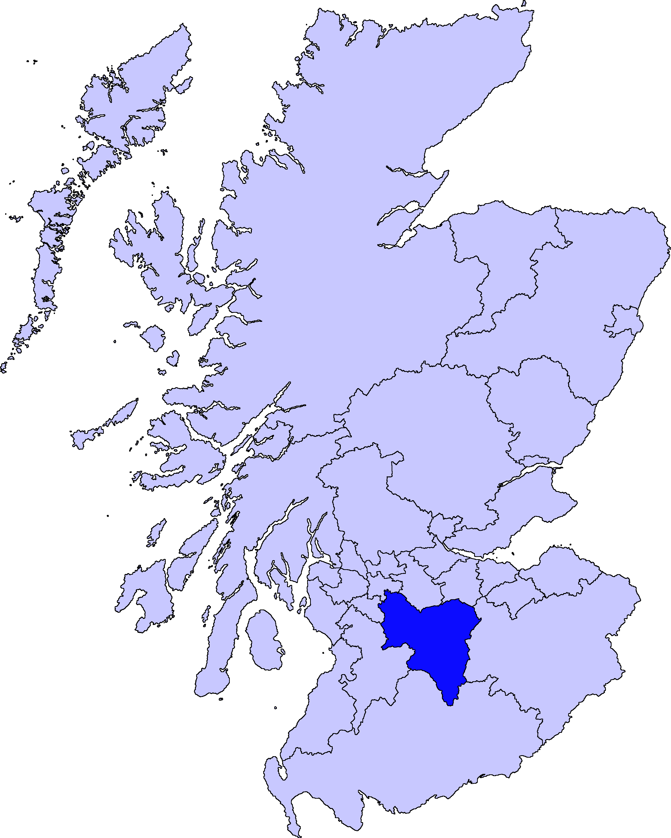
Crawfordjohn (Scottish Gaelic: Creamhain Eòin) is a small village and civil parish located in South Lanarkshire, Scotland.
It is 3 miles (4.8 km) west of Abington and 7 miles (11 km) north east of Leadhills, near junction 13 of the M74. It lies to the north of the Duneaton Water, a tributary of the River Clyde. It is known for the manufacture of curling stones.
Coordinates: 55°29′N 3°46′W / 55.483°N 3.767°W
Settlements in South Lanarkshire Towns Biggar · Blantyre · Bothwell · Cambuslang · Carluke · East Kilbride · Hamilton · Larkhall · Lanark · Lesmahagow · Rutherglen · Strathaven · Uddingston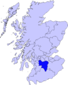
Villages and Hamlets Abington · Allanton · Ashgill · Auchengray · Auchenheath · Blackwood · Braidwood · Carnwath · Carstairs Junction · Carstairs Village · Cartland · Chapelton · Coalburn · Cobbinshaw · Coulter · Crawford · Crawfordjohn · Crossford · Dalserf · Dolphinton · Douglas · Dunsyre · Elsrickle · Forth · Garrion Bridge · Glassford · Kilncadzow · Kirkfieldbank · Kirkmuirhill · Law · Leadhills · Newbigging · Nerston · Pettinain · Quothquan · Ravenstruther · Rigside · Roberton · Rosebank · Sandford · Stonehouse · Symington · Tarbrax · Thankerton · Thorntonhall · Tillietudlem · Wiston · Woolfords · YieldshieldsCategories:- Villages in South Lanarkshire
- South Lanarkshire geography stubs
Wikimedia Foundation. 2010.