- Quothquan
-
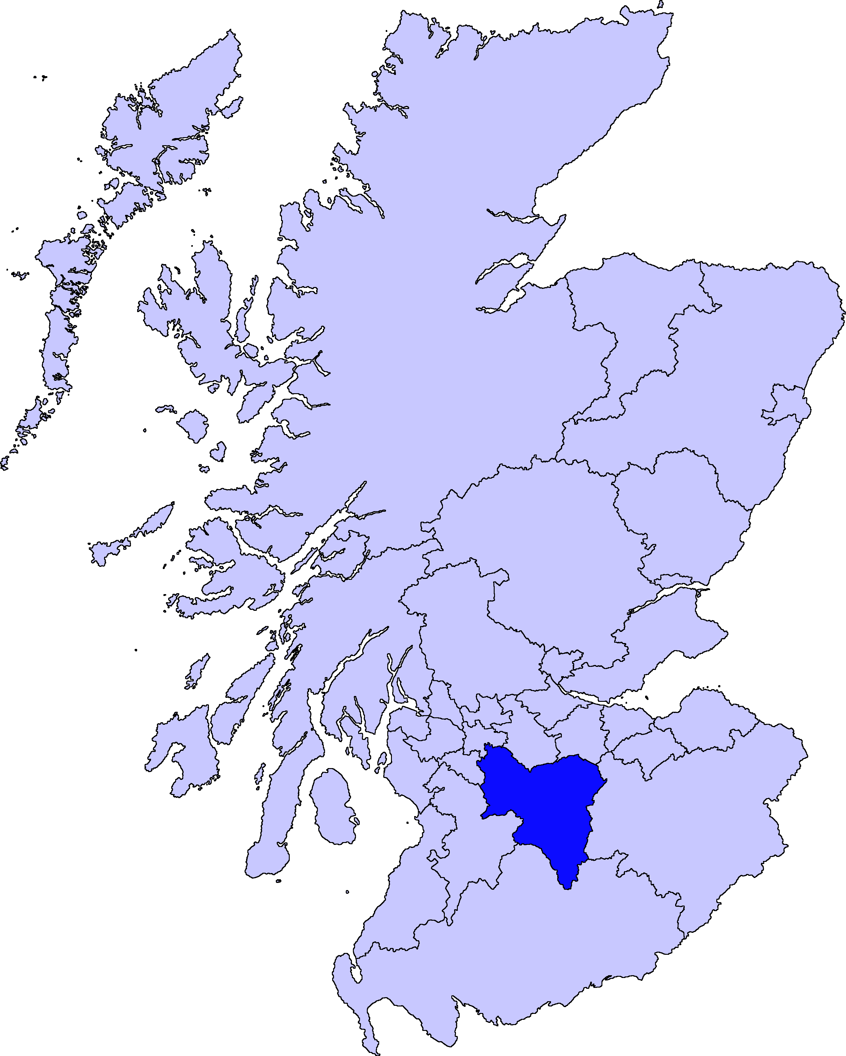
Quothquan (also formerly spelled Couth-Boan) (Gaelic: A’ Choitcheann, pronounced [ə xɔʰtʲçən̪ˠ]) is a village in Libberton parish, South Lanarkshire, Scotland.[1] It is located at NS994395, 3 km north-west of Biggar, and 6 km south-east of Lanark. To the south-west is the 335m high Quothquan Law, topped by the remains of a hill fort.[2]
The name is derived from Gaelic and translates as The Common.
References
- ^ "A Topographical Dictionary of Scotland (1846), pp. 396-399.". http://www.british-history.ac.uk/report.aspx?compid=43473. Retrieved 2008-01-13.
- ^ "Quothquan Law, NMRS number NS93NE 11". RCAHMS. http://www.rcahms.gov.uk/pls/portal/newcanmore.newcandig_details_gis?inumlink=47465. Retrieved 2008-01-15.
Coordinates: 55°38′19″N 3°35′59″W / 55.63861°N 3.59972°W
Settlements in South Lanarkshire Towns Biggar · Blantyre · Bothwell · Cambuslang · Carluke · East Kilbride · Hamilton · Larkhall · Lanark · Lesmahagow · Rutherglen · Strathaven · Uddingston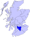
Villages and Hamlets Abington · Allanton · Ashgill · Auchengray · Auchenheath · Blackwood · Braidwood · Carnwath · Carstairs Junction · Carstairs Village · Cartland · Chapelton · Coalburn · Cobbinshaw · Coulter · Crawford · Crawfordjohn · Crossford · Dalserf · Dolphinton · Douglas · Dunsyre · Elsrickle · Forth · Garrion Bridge · Glassford · Kilncadzow · Kirkfieldbank · Kirkmuirhill · Law · Leadhills · Newbigging · Nerston · Pettinain · Quothquan · Ravenstruther · Rigside · Roberton · Rosebank · Sandford · Stonehouse · Symington · Tarbrax · Thankerton · Thorntonhall · Tillietudlem · Wiston · Woolfords · YieldshieldsCategories:- Villages in South Lanarkshire
- South Lanarkshire geography stubs
Wikimedia Foundation. 2010.