- Chapelton, South Lanarkshire
-
Coordinates: 55°42′45″N 4°05′33″W / 55.712544°N 4.092527°W
Chapelton 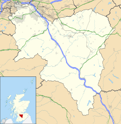
 Chapelton
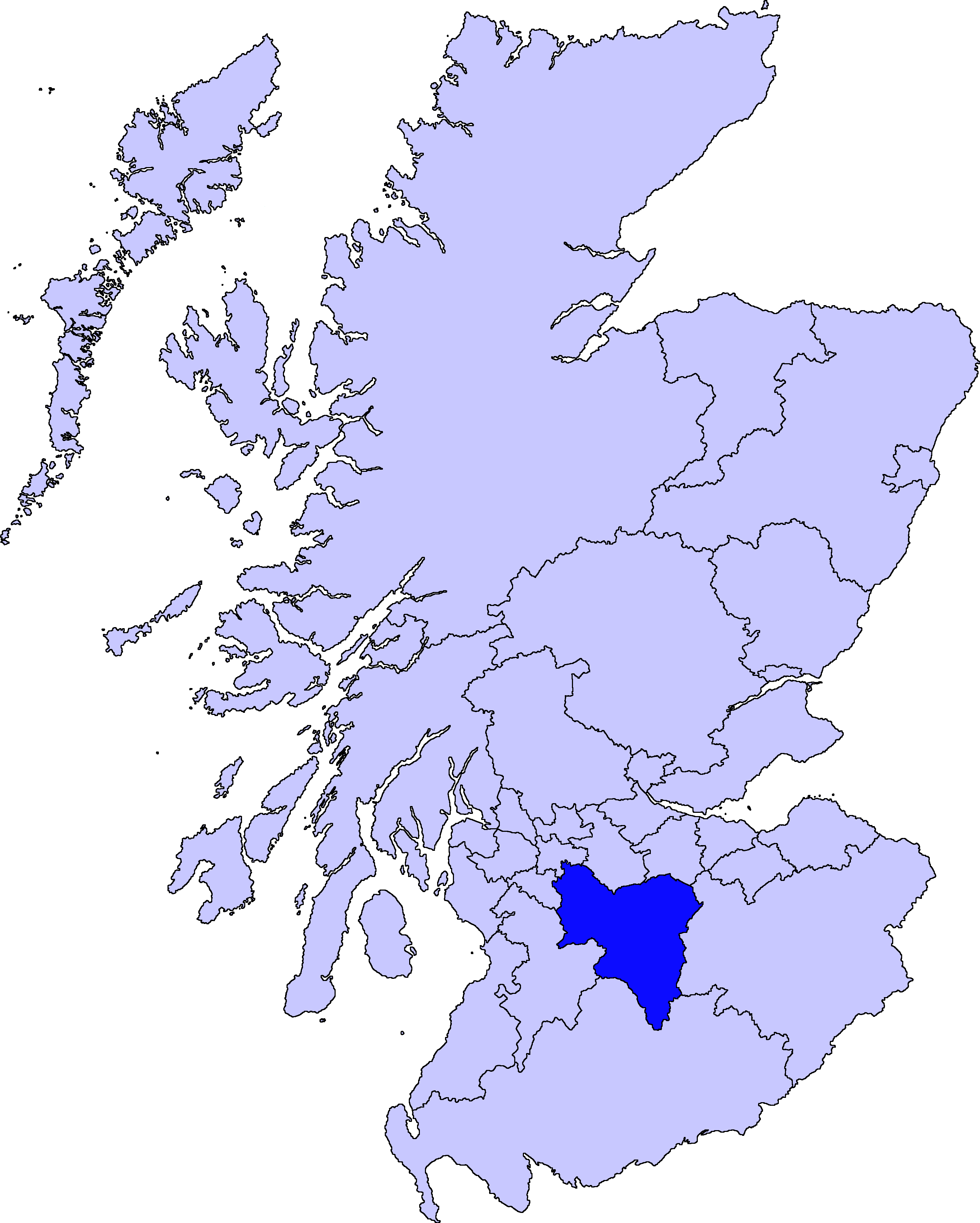
Chapelton shown within South LanarkshirePopulation 759 (2001 Census) OS grid reference NS685485 Council area South Lanarkshire Lieutenancy area Lanarkshire Country Scotland Sovereign state United Kingdom Post town STRATHAVEN Postcode district ML10 Dialling code 01357 300 Police Strathclyde Fire Strathclyde Ambulance Scottish EU Parliament Scotland UK Parliament East Kilbride, Strathaven and Lesmahagow Scottish Parliament East Kilbride List of places: UK • Scotland • Chapelton is a small village in South Lanarkshire, Scotland. The village is located approximately halfway between the towns of East Kilbride and Strathaven, on the A726.
The village has a primary school (Chapelton Primary School), Community Hall and Chapelton Parish Church (Church of Scotland), however the village Post Office has now closed.
Settlements in South Lanarkshire Towns Biggar · Blantyre · Bothwell · Cambuslang · Carluke · East Kilbride · Hamilton · Larkhall · Lanark · Lesmahagow · Rutherglen · Strathaven · Uddingston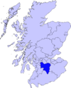
Villages and Hamlets Abington · Allanton · Ashgill · Auchengray · Auchenheath · Blackwood · Braidwood · Carnwath · Carstairs Junction · Carstairs Village · Cartland · Chapelton · Coalburn · Cobbinshaw · Coulter · Crawford · Crawfordjohn · Crossford · Dalserf · Dolphinton · Douglas · Dunsyre · Elsrickle · Forth · Garrion Bridge · Glassford · Kilncadzow · Kirkfieldbank · Kirkmuirhill · Law · Leadhills · Newbigging · Nerston · Pettinain · Quothquan · Ravenstruther · Rigside · Roberton · Rosebank · Sandford · Stonehouse · Symington · Tarbrax · Thankerton · Thorntonhall · Tillietudlem · Wiston · Woolfords · YieldshieldsCategories:- Villages in South Lanarkshire
- South Lanarkshire geography stubs

Wikimedia Foundation. 2010.