- Cobbinshaw
-
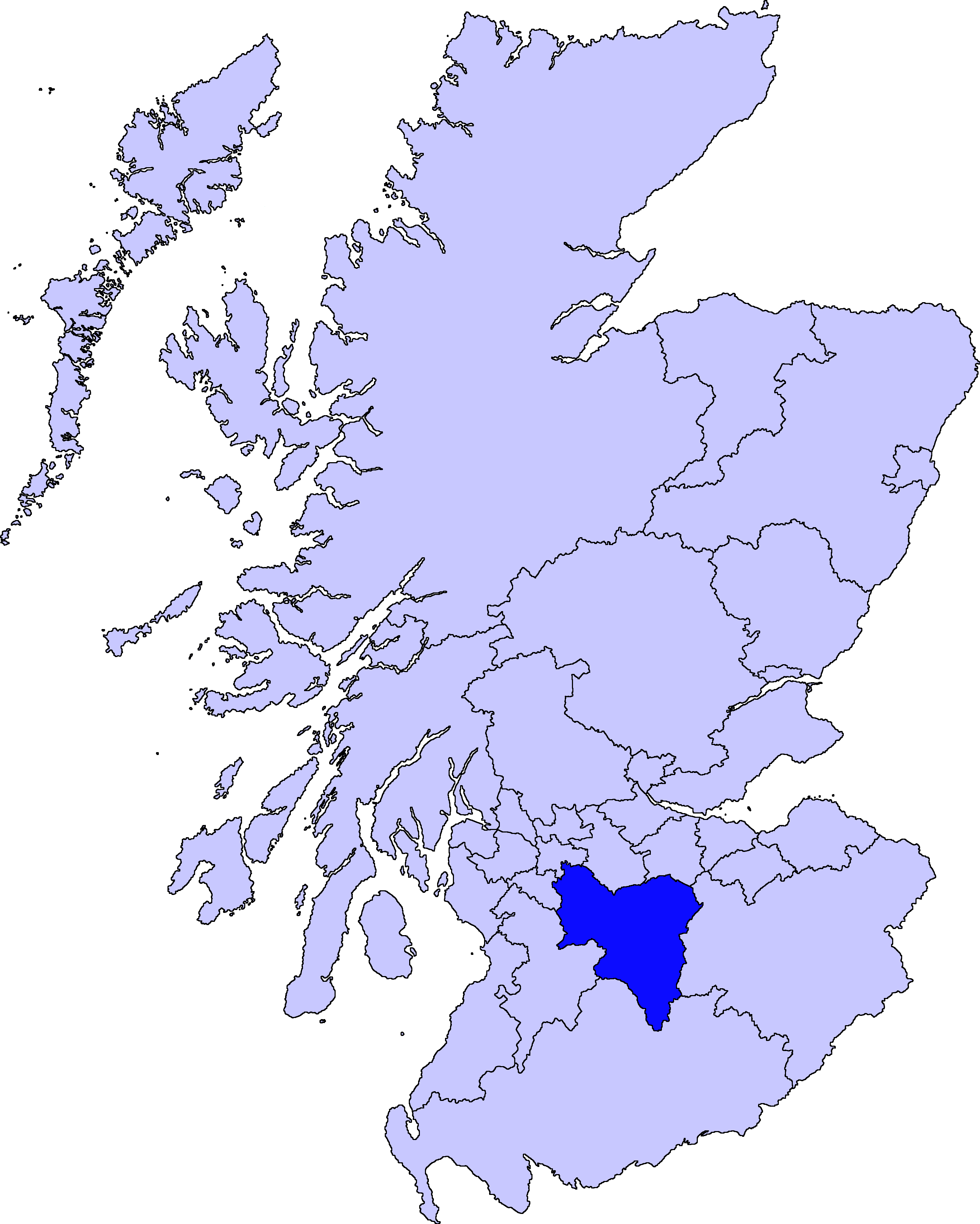
Cobbinshaw is a small hamlet in the Parish of Carnwath, in South Lanarkshire, Scotland. It is at the end of a dead end road from nearby Woolfords.
Cobbinshaw is at 1,000 feet (300 m) above sea level on the edge of the Pentland Hills. Nearby villages include Woolfords, Auchengray and Tarbrax. It is next to Cobbinshaw Reservoir, built in 1818 to supply water for the Union Canal.
History
Transport
It once had its own railway station on the Caledonian Railway's Edinburgh to Carstairs Line. The station was located north of Auchengray railway station.
References
Coordinates: 55°48′10.08″N 3°34′35.48″W / 55.8028°N 3.5765222°W
Settlements in South Lanarkshire Towns Biggar · Blantyre · Bothwell · Cambuslang · Carluke · East Kilbride · Hamilton · Larkhall · Lanark · Lesmahagow · Rutherglen · Strathaven · Uddingston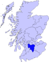
Villages and Hamlets Abington · Allanton · Ashgill · Auchengray · Auchenheath · Blackwood · Braidwood · Carnwath · Carstairs Junction · Carstairs Village · Cartland · Chapelton · Coalburn · Cobbinshaw · Coulter · Crawford · Crawfordjohn · Crossford · Dalserf · Dolphinton · Douglas · Dunsyre · Elsrickle · Forth · Garrion Bridge · Glassford · Kilncadzow · Kirkfieldbank · Kirkmuirhill · Law · Leadhills · Newbigging · Nerston · Pettinain · Quothquan · Ravenstruther · Rigside · Roberton · Rosebank · Sandford · Stonehouse · Symington · Tarbrax · Thankerton · Thorntonhall · Tillietudlem · Wiston · Woolfords · YieldshieldsCategories:- Villages in South Lanarkshire
Wikimedia Foundation. 2010.