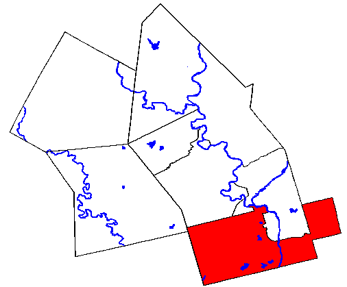
- North Dumfries, Ontario
-
North Dumfries — Township — 
Coordinates: 43°19′N 80°23′W / 43.317°N 80.383°WCoordinates: 43°19′N 80°23′W / 43.317°N 80.383°W Country  Canada
Province  Ontario
Region Waterloo Settled 1816 Incorporated 1819 Government - Mayor Robert Deutschmann - Federal riding Cambridge - Prov. riding Cambridge Area[1] - Land 187.22 km2 (72.3 sq mi) Population (2006)[1] - Total 9,063 - Density 48.4/km2 (125.4/sq mi) Time zone EST (UTC-5) - Summer (DST) EDT (UTC-4) Postal Code N0B Area code(s) 519 and 226 Website www.northdumfries.ca The Township of North Dumfries is a rural township in Ontario, Canada, part of the Region of Waterloo. Its 2006 Census population was 9,063.
The township includes the communities of Ayr, Branchton, Clyde, Reidsville and Roseville.
Contents
History
The history of North Dumfries is closely tied to that of the old City of Galt, now part of the City of Cambridge but in the early 19th century was part of Gore District. Galt was founded on the east bank of the Grand River by Absalom Shade on behalf of William Dickson of Niagara. Dickson had bought 94,305 acres (381.64 km2) of land in 1816 for 24,000 pounds, and named it after his hometown of Dumfries in Scotland. That same year, he had the land surveyed and opened it for settled. In 1817, the first sawmills were operating and there were 38 families with a total population of 163 people. In 1819, the first municipal meeting for the Township of Dumfries North was held.[2]
In 1820, Dickson encouraged further settlement on his land by inviting other Scotsmen to buy land, resulting in a wave of immigration from 1825 until 1832 when every plot of land was filled.[2]
What is now North Dumfries originally formed the north half of Dumfries Township, hence the current name. With the introduction of the county system in the mid-nineteenth century, Dumfries was split between the new Waterloo and Brant Counties. The remaining southern half of the old Dumfries Township is now South Dumfries in Brant County. At about the same time Dumfries Township was divided, the City of Galt was extracted from it as an autonomous municipality within the new Waterloo County. Though the two municipalities (Galt and North Dumfries) were now technically separated from one another, their histories are tightly interwoven as the township nearly envelopes what was then Galt.
The township's easternmost section (around the village of Clyde) was originally part of Wentworth County (now the city of Hamilton); it was transferred to Waterloo Region in the 1970s.
Demographics
The ethnic makeup of the township is 98.5% White, and 1.5% visible minorities, of which the largest groups are Black (0.4%), South Asian and Latin American (0.3% each). Around 21.2% of the population is under the age of 14, while those over 65 number 10.3%. The average age is 39.0. There are 3050 private dwellings occupied by usual residents, out of a total of 3103 dwellings. Mother tongues spoken are:[1]
- English as first language: 88.7 %
- French as first language: 1.3 %
- English and French as first language: 0 %
- Other as first language: 10.1 %
Population trend:[3]
- Population in 2006: 9063 (2001 to 2006 population change: 3.4 %)
- Population in 2001: 8769
- Population in 1996: 7817
- Population in 1991: 6821
Government
The citizens of North Dumfries are represented by the mayor and four township councillors. The mayor is directly elected while the councillors are elected in four wards. The mayor serves as the township's sole representative on Regional Council.
References
- ^ a b c "North Dumfries community profile". 2006 Census data. Statistics Canada. http://www12.statcan.gc.ca/census-recensement/2006/dp-pd/prof/92-591/details/page.cfm?Lang=E&Geo1=CSD&Code1=3530004&Geo2=PR&Code2=35&Data=Count&SearchText=North%20Dumfries&SearchType=Begins&SearchPR=01&B1=All&Custom=. Retrieved 2011-01-31.
- ^ a b "Our Community > History". Township of North Dumfries. http://www.northdumfries.ca/en/ourcommunity/History.asp. Retrieved 2011-01-31.
- ^ Statistics Canada: 1996, 2001, 2006 census
External links

Wilmot Kitchener, Cambridge Puslinch Blandford-Blenheim 
Hamilton (Flamborough)  North Dumfries

Brant Cities Townships Regional services See also: Communities in Waterloo Region · Census divisions of Ontario Categories:- Township municipalities in Ontario
- Municipalities in Waterloo Region, Ontario
Wikimedia Foundation. 2010.