- Düsseldorf-Oberkassel
-
Oberkassel is a quartier of Düsseldorf, with a population of about 17,000 inhabitants. Oberkassel lies on the left side of the river Rhine, the opposite side of the central district of Düsseldorf.
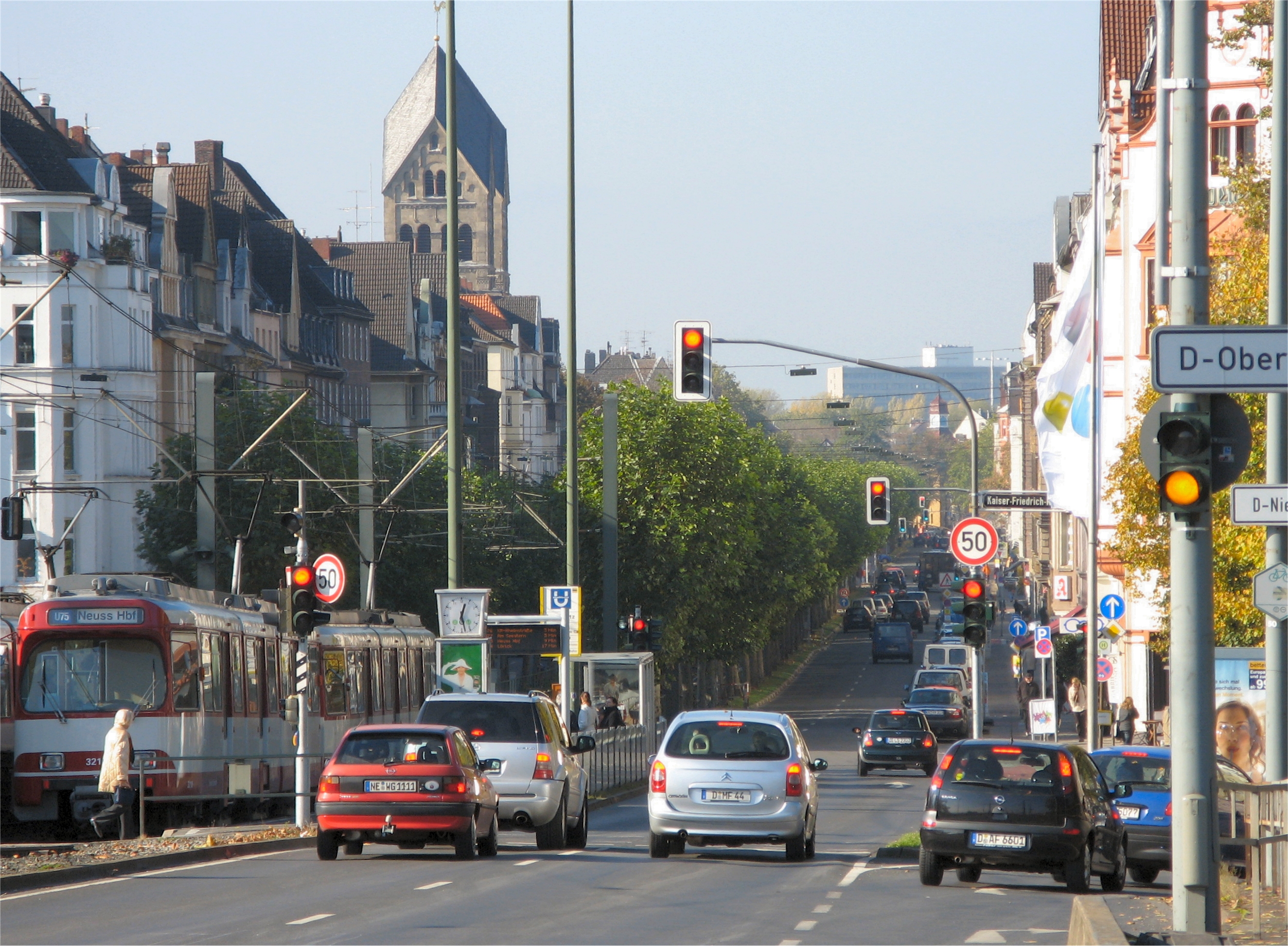
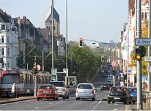 Luegallee
 map of Düsseldorf, showing Oberkassel (in red) within District 4 (in pink)
Oberkassel is an economically well-situated borough with more than 17,000 inhabitants and an unemployment rate below 5%. Nearly the half of the households in Oberkassel are single households. The average age is about 45 years.
Contents
History
The settlement Heerdt was first mentioned was in the 9th century B.C.E.
- 1898: The Oberkassel Bridge between Düsseldorf-Heerdt and Düsseldorf was opened.
- 1909 Heerdt, and with Heerdt Oberkassel, became a part of Düsseldorf.
- 1920 Following the use of the Freikorps by the German Social Democratic Government, Oberkassel was occupied by Belgian troops.
- 1945 The bridge was nearly captured by American troops disguised as Germans. The bridge was then dynamited by the retreating Wehrmacht.
In the 20th century Oberkassel became a quarter of Düsseldorf.
Modern Oberkassel
Oberkassel is a socially well-to-do part of Düsseldorf. The average age of Oberkassel's residents is 44.
A large part of Düsseldorf's Japanese population lives in Oberkassel. There is a Japanese kindergarten and a Japanese school in Düsseldorf-Niederkassel, a neighboring district, as well as a Japanese cultural centre, the Eko-House, and a Buddhist temple.
Interesting buildings
- Rom.-Cath. St. Antonius Church, constructed between 1909 and 1910 by Josef Kleesattel in the Neo-romantic style
- Evangelical Resurrection Church (Auferstehungskirche), built between 1913 and 1914 by Julius Stobbe and Wilhelm Verheyen.
Sources and references
- Communal Administration, Statistics Office (German)
- Communal Administration, District Administration (German)
Districts of Düsseldorf District 1 · District 2 · District 3 · District 4 · District 5 · District 6 · District 7 · District 8 · District 9 · District 10 District 1: Altstadt · Derendorf · Golzheim · Carlstadt · Pempelfort · Stadtmitte | District 2: Düsseltal · Flingern-Nord · Flingern-Süd | District 3: Bilk · Flehe · Friedrichstadt · Hafen · Hamm · Oberbilk · Unterbilk · Volmerswerth | District 4: Heerdt · Lörick · Niederkassel · Oberkassel | District 5: Angermund · Kaiserswerth · Kalkum · Lohausen · Stockum · Wittlaer | District 6: Lichtenbroich · Mörsenbroich · Rath · Unterrath | District 7: Gerresheim · Grafenberg · Hubbelrath · Ludenberg | District 8: Eller · Lierenfeld · Unterbach · Vennhausen | District 9: Benrath · Hassels · Himmelgeist · Holthausen · Itter · Reisholz · Urdenbach · Wersten | District 10: Garath · Hellerhof
Coordinates: 51°13′49″N 6°45′18″E / 51.23028°N 6.755°ECategories:- Urban districts and boroughs of Düsseldorf
- Düsseldorf
- North Rhine-Westphalia geography stubs


Wikimedia Foundation. 2010.