- District 2, Düsseldorf
-
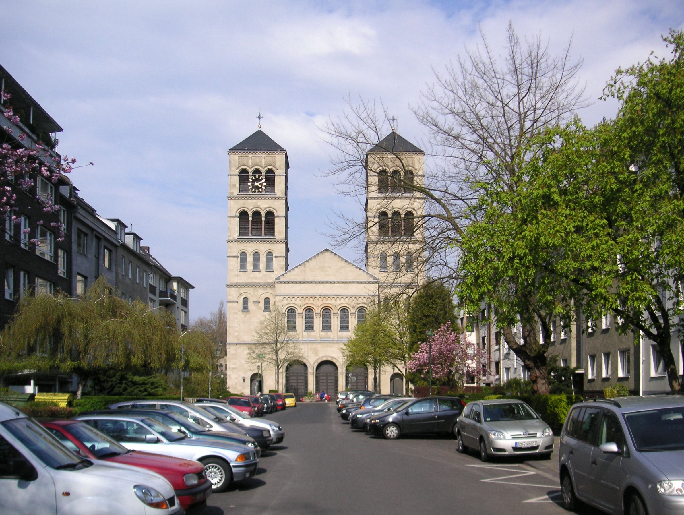
Stadtbezirk 2 — District of Düsseldorf — Pauluskirche, Düsseldorf-Düsseltal Location of District 2 shown in red
Country  Germany
State  North Rhine-Westphalia
City  Düsseldorf
Area – Total 7.18 km2 (2.8 sq mi) Population (December 2009[1]) – Total 56,736 – Density 7,902/km2 (20,466.1/sq mi)  Humboldtstraße, Düsseltal
 Zoopark (formerly Düsseldorf Zoological Garden) in Düsseltal
District 2 (German: Stadtbezirk 2) is a city district of Düsseldorf, the state capital of North Rhine-Westphalia, Germany. The district covers an area of 7,18 square kilometres and (as of December 2009) has about 57,000 inhabitants.
District 2 is the smallest of all districts in Düsseldorf and next to the central city district 1, it is the only of Düsseldorf's districts to not touch the city limits. Starting clockwise from North-west to South-west, District 2 borders with the following Düsseldorf districts: 1, 6, 7, 8 and 3.
Contents
Subdivisions
District 2 is made up of three Stadtteile (city parts):
# City part Population (2009) Area (km²) Pop. per km² 021 Flingern-Nord 21,290 2,70 7,885 022 Flingern-Süd 9,642 1,50 6,428 023 Düsseltal 25,616 2,98 8,596 source: Amt für Statistik und Wahlen der Landeshauptstadt Düsseldorf (German) Places of interest
Arts, Culture and Entertainment
- Eisstadion, Düsseltal
Landmarks
- Pauluskirche, Düsseltal
Parks and open spaces
- Zoopark
Transportation
The district is served by numerous railway stations and highway.[2] Stations include Düsseldorf Zoo, Düsseldorf Flingern and a dense net of both Düsseldorf Stadtbahn underground- and Rheinbahn tram-stations. The districts can also be reached via Bundesautobahn 57 and Bundesstraße 7 and 8.
See also
References
- ^ Stadtbezirk 2, Landeshauptstadt Düsseldorf, 2009 (German)
- ^ Urban rail-transitmap Düsseldorf-Meerbusch, Verkehrsverbund Rhein-Ruhr
External links
 Media related to Districts of Düsseldorf at Wikimedia Commons
- Official webpage of the district (German)
Districts of Düsseldorf District 1 · District 2 · District 3 · District 4 · District 5 · District 6 · District 7 · District 8 · District 9 · District 10 District 1: Altstadt · Derendorf · Golzheim · Carlstadt · Pempelfort · Stadtmitte | District 2: Düsseltal · Flingern-Nord · Flingern-Süd | District 3: Bilk · Flehe · Friedrichstadt · Hafen · Hamm · Oberbilk · Unterbilk · Volmerswerth | District 4: Heerdt · Lörick · Niederkassel · Oberkassel | District 5: Angermund · Kaiserswerth · Kalkum · Lohausen · Stockum · Wittlaer | District 6: Lichtenbroich · Mörsenbroich · Rath · Unterrath | District 7: Gerresheim · Grafenberg · Hubbelrath · Ludenberg | District 8: Eller · Lierenfeld · Unterbach · Vennhausen | District 9: Benrath · Hassels · Himmelgeist · Holthausen · Itter · Reisholz · Urdenbach · Wersten | District 10: Garath · Hellerhof
Coordinates: 51°12′29″N 6°46′36″E / 51.20806°N 6.77667°ECategories:- Urban districts and boroughs of Düsseldorf
- North Rhine-Westphalia geography stubs


Wikimedia Foundation. 2010.