- Mahdia, Guyana
-
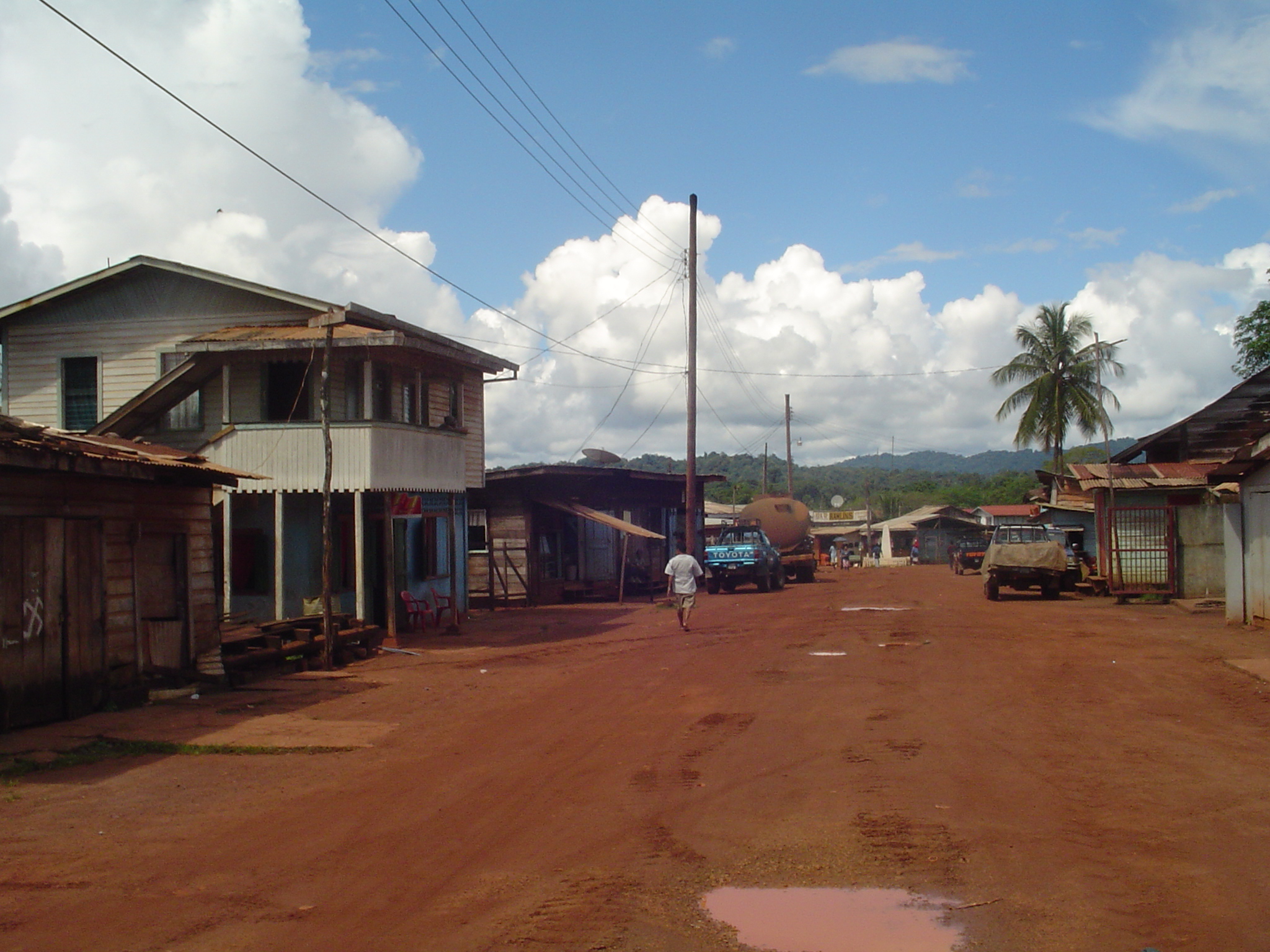
Mahdia, Guyana Commercial area in Mahdia, May 2006 Location in Guyana
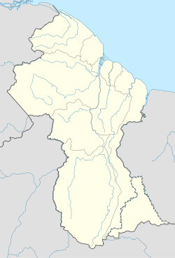
 Mahdia, Guyana
Coordinates: 5°16′N 59°9′W / 5.267°N 59.15°WCoordinates: 5°16′N 59°9′W / 5.267°N 59.15°W Country  Guyana
Region Potaro-Siparuni Elevation 1,360 ft (415 m) Mahdia is a small community in the Potaro-Siparuni region of Guyana, located near the centre of the country at an altitude of 415 metres (1,362 ft). Commerce is centred around the area's gold and diamond mining operations. As such it responds to and is affected by the economic booms and busts and attracts immigrants both local and foreign to obtain wealth through mining.
Contents
Demographics
The present population in Mahdia is four thousand two hundred, (600 households), and is of three groups. The Patamonas, an Indigenous Amerindian tribe, are involved in farming, hunting and mining. The Coast Landers, residents from the coastlands of Guyana, migrated to the hinterland to seek employment mainly mining. The third group, called Islanders, are immigrants, and their descendants are from the Caribbean Islands, particularly, St Lucia and Dominica. They focus on farming and burning charcoal. Within recent times, there has been an influx of a new group, the Brazilians, who are also involved in mining and other businesses. On September 10 annually, the Amerindians celebrate heritage month in the community of Campbeltown, Mahdia, while the Islanders celebrate the La Rose Festival at the end of August. This festival was originated in St Lucia. Mahdia being the Regional Administrative Centre of Region 8, Potaro-Siparuni has the following relevant infrastructure:
- A cottage hospital
- A nursery, primary and a secondary school
- A commercial sector which includes dry goods, boutiques, a fuel station and 11 restaurants.
- Four hotels; two guess houses and four brothels
- A police station
- A post office
- Two artisan wells
- A Regional Administrative Office
- A airstrip
Residents still depend on rainfall and water from the Salbora Falls. While electricity is currently provided by local businessmen.
History
Mahdia was established in 1884, by the Africans after their emancipation. Most of them travelled from the county of Berbice and the East Coast of Demerara in search of gold. The British Consolidated Mining Company, expanded the mining exploration in Mahdia and established, Colonial Administrative offices. During this period Mahdia was only accessible by waterways. In November 1933 a bridge was constructed over the Garraway Stream, linking Mahdia to Bartica by trail. This bridge which is suspended by cables was named Denham Bridge after the then Colonial Governor Sir Edward Denham. It is still in use today and has become a tourist site.
Mining
There are one hundred and fifty (150) land dredges in the mining district of Mahdia. Most miners use excavators to extract the overburden and utilise gravel pumps to extort the gravel with gold from the pits. On most occasions the pits are not refilled which causes the anophelese mosiquito to breed and so increase the spread of malaria. Recently the Guyana Geology and Mines Commission has embarked upon reinforcing the amendment regulations, 2005, for environmental management, which has instantly created an impact in the community, by curbing the pollution of water ways and encouraged soil reclamation and replanting trees in areas where there has been deforestation.
References
- Daly, V.T. The Making of Guyana. 1974.
- Fernandes, L.L. Report May – December, 1974, Mcdame Exploration Ltd.
- Woolford William. Booklet For Guyana Geology And Mines Commission, March 2008.
Settlements in GuyanaFor the definition of city, town, etc see Settlements in Guyana. Cities Towns Albion · Anna Regina · Bartica · Corriverton · Fort Wellington · Ituni · Lethem · Linden · Mabaruma · Mahaica · Mahaicony · New Amsterdam · Paradise · Rosignol · Skeldon · Vreed en HoopVillages Adventure · Aishalton · Annai · Arimu Mine · Belfield · Beterverwagting · Better Hope · Biloku · Blairmont · Burma · Buxton · Campbelltown · Cane Grove · Charity · Clonbrook · Crabwood Creek · El Paso · Enmore · Enterprise · Esau and Jacob · Everton · Fort Washington · Good Hope · Governor Light · Hackney · Helena · Holmia · Hope · Hosororo · Hyde Park · Imbaimadai · Isherton · Issano · Isseneru · Jonestown · Kabakaburi · Kalkuni · Kamarang · Kamikusa · Kamwatta Hill · Kangaruma · Kartabo · Kartuni · Keweigek · Koriabo · Kumaka, Barima-Waini · Kumaka, East Berbice-Corentyne · Kuru Kuru · Kurupakari · Kurupung · Kwakwani · Kwebanna · Leonora · Long Creek · Lusignan · Mahdia · Maicobi · Makouria · Mara · Matthew's Ridge · Meten-Meer-Zorg · Moleson Creek · Mora Point · Morawhanna · Moruca · New Found Out · Nonpareil · Orealla · Orinduik · Paramakatoi · Parika · Peters Mine · Pickersgill · Port Kaituma · Port Mourant · Potaro Landing · Princeville · Providence · Rockstone · Rose Hall · Santa Rosa · Saveretik · Saxacalli · Schoon Ord · Seweyo · Silver Hill · Spring Garden · St. Monica Karawab · Suddie · Surama · Takama · Three Friends · Timehri · Towakaima · Tumatumari Landing · Tumatumari · Tumereng · Uitvlugt · Unity Village · Victoria · Wakapau · Wandaik · Wel te Vreeden · Weldaad · Wichabai · Wowetta · Zeeburg · ZeelandiaCommunities Estates Catherinas Lust · Dadanawa RanchMissions Neighbourhoods GeorgetownCategories:- Potaro-Siparuni
- Populated places in Guyana

Wikimedia Foundation. 2010.