- Oklahoma State Highway 42
-
State Highway 42
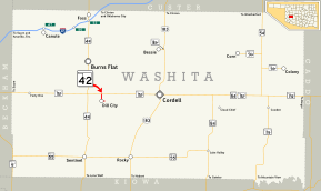
Route information Maintained by ODOT Length: 1.4 mi (2.3 km) Existed: 1943[1] – present Major junctions South end: Dill City North end:  SH-152 west of Cordell
Highway system Oklahoma State Highways
Oklahoma turnpike system←  I-40
I-40SH-43  →
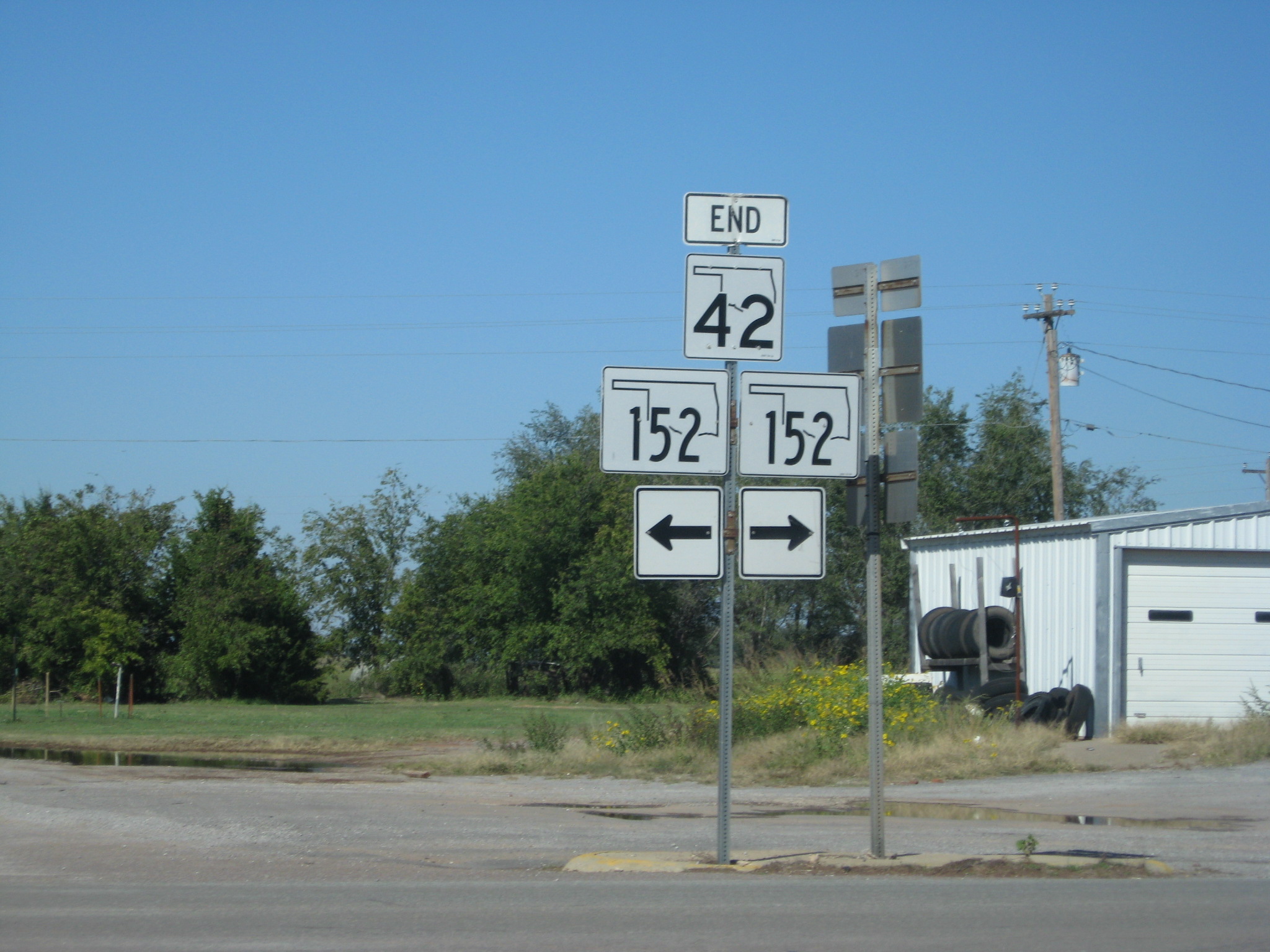
→ SH-42's northern terminus at SH-152
State Highway 42 (SH-42) is a short state highway in Washita County, Oklahoma. It is 1.4 miles[2] (2¼ km) long and connects State Highway 152 to Dill City. It has no lettered spur routes.
Contents
Route description
SH-42 begins on the east edge of Dill City. It heads west along Orient Avenue through town, until it reaches Rambo Street. It then continues north on Rambo Street. The SH-42 designation then ends at SH-152. The SH-152 junction is SH-42's only intersection with another highway.
History
SH-42 was first added to the state highway system between 1943 and 1944, with the highway first appearing on the 1944 state map. At the time that SH-42 was commissioned, its northern terminus was at SH-41, which was later renumbered to SH-152.[1]
Junction list
County Location Mile[2] Destinations Notes Washita Dill City 0.0 Dill City city limits Southern terminus 1.4 SH-152Northern terminus 1.000 mi = 1.609 km; 1.000 km = 0.621 mi References
- ^ a b Oklahoma Department of Highways. Map Showing Condition of Improvement of the State Highway System (Map) (1944 ed.). http://www.odot.org/hqdiv/p-r-div/maps/state-maps/pdfs/1944.pdf. Retrieved 2008-04-16.
- ^ a b Stuve, Eric. "OK-42". OKHighways. http://www.okhighways.com/ok42.html. Retrieved 2006-05-14.
External links
Categories:- State highways in Oklahoma
- Washita County, Oklahoma


Wikimedia Foundation. 2010.