- Marpole
-
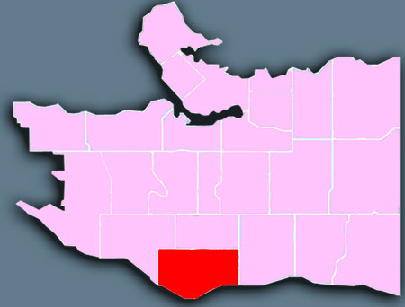
 Location of Marpole in Vancouver.
Marpole is a mostly residential neighbourhood of 22,400[1] located on the southern edge of the city of Vancouver, British Columbia, immediately northeast of Vancouver International Airport. It is approximately bordered by Angus Drive to the west, 57th Avenue to the north, Main Street to the east and the Fraser River to the south. It has undergone many changes in the past century, with the influx of traffic and development associated with the construction of the Oak Street Bridge (which leads to Highway 99 leading to the southern suburbs) and the Arthur Laing Bridge (which leads to Vancouver International Airport).
Contents
History
Marpole is one of Vancouver's oldest communities. Evidence of settlement dating back to 3500 B.C. has been found in the area, and it was first inhabited by non-natives in the 1860s.[2] It was originally called Eburne Station and once existed as a separate village separated from the city by miles of forest.
At the turn of the 20th century, the Vancouver Lulu Island Railway of the British Columbia Electric Railway interurban train were constructed, which triggered the development of sawmills, shingle mills and gravel companies in the region. The area was renamed after Richard Marpole in 1916, and by the time it joined Vancouver in 1929, it had become one of the area's major industrial centres.[2]
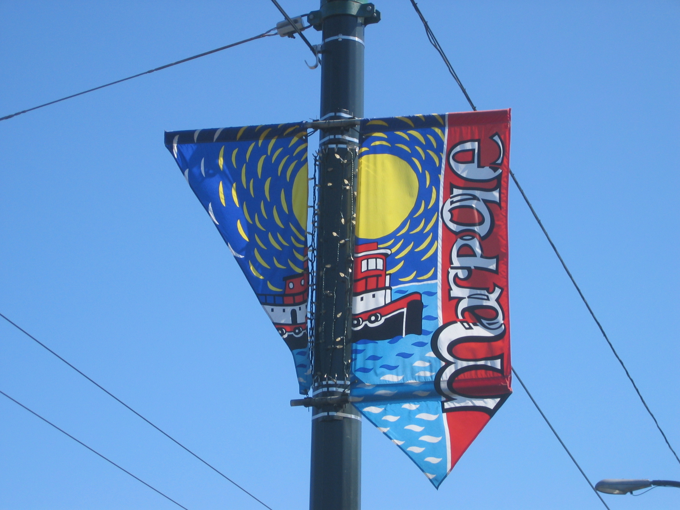
 Marpole street banner.
The Oak Street Bridge was completed in 1957 and was partly responsible for a downturn in business around the Marine and Hudson area, as traffic shifted to the east. The 1975 opening of the Arthur Laing Bridge helped shift the business area back to the west, along Granville Street.[2]
Transportation
Because of the Oak and Arthur Laing Bridges, traffic jams are common in the area, especially during peak hours. However, it is well-served by public transit (which is run by TransLink and operated by Coast Mountain Bus Company) mostly because almost all the buses going to the southern suburbs pass through Marpole at some point.
In September 2009, the Canada Line replaced most of the suburban routes and the 98 B-Line. It runs along Cambie Street, and has a station at Marine Drive, with a future station at 57th Avenue.[3]
Marpole is also directly across the Fraser River from Vancouver International Airport, located on Sea Island in Richmond, which is the second busiest airport in Canada.
Economy
Most of Marpole's stores are centred along the southern end of Granville Street. There are small corner shops located on Oak Street and 67th, and on Cambie at 57th. A large number of businesses, ranging from drive-through fast-food eateries to big box stores, manufacturers and distributors are also located along Marine Drive east of the Arthur Laing bridge, with more heavy-industry type businesses are located along the banks of the Fraser River. Just west of the Arthur Laing bridge are the Wild Coyote nightclub (under the on-ramp at Hudson), as well as the Fraser Arms Hotel and the Metro Theatre, an important live community theatre venue in Vancouver. Just west of the Fraser Arms is the approximate location of the Great Marpole Midden.
Another large commercial district has been approved for Marpole, which will be in the eastern portion of the neighbourhood. The intersection of Marine Drive and Cambie Street was designated by the City of Vancouver as the "Marine Landing" precinct of the Cambie Corridor (Marine Landing Precinct)(Marine Landing - Marpole's Urban Dock). Currently one development in the Marine Landing precinct, "Marine Gateway" Marine Gateway has been approved, which will provide two residential towers, one office tower and a large amount of commercial and retail space, including 11 movie theatres. Construction on Marine Gateway is expected to begin in early 2012. There is currently a second proposal for the north east side of Marine Drive and Cambie Street by Intracorp which has not yet been approved.
Education
There are six elementary schools in the Marpole area. These include:
- David Lloyd George Elementary School
- Sir Wilfrid Laurier Elementary School
- McKechnie Elementary School
- J. W. Sexsmith Elementary School
- St. Anthony of Padua Catholic School
There are no high schools which fall within Marpole's borders, however Sir Winston Churchill Secondary School sits just across 57th Avenue in Oakridge and serves the majority of the neighbourhood. Magee Secondary School serves the western portion of the neighbourhood.
Healthcare
George Pearson Centre is located in Marpole. It is a centre that specializes with adults with disabilities who require special assistance.
Joy Kogawa's Obasan
Joy Kogawa's bestselling novel, Obasan, which tells the story of Canada's internment and persecution of its citizens of Japanese descent during World War II, partially takes place in Marpole, in a tiny bungalow located at 1450 West 64th Avenue. Joy Kogawa (nee Nakayama, born 1935) lived there as a child, and in 2006 the house was purchased by The Land Conservancy of British Columbia following a nation-wide fundraising campaign [4]. The 1912 house stands as a cultural and historical reminder of the war-time experience of Canadians of Japanese heritage, who were interned in remote camps and their property expropriated during World War II.
Today, the Historic Joy Kogawa House Society, a community-based group of arts supporters, operates a writer-in-residence program at the house purely on a volunteer basis. The writer-in-residence program has been under way since 2009 and during that time has enriched the literary community and fostered an appreciation for Canadian writing by bringing well-regarded professional writers in touch with a local community of writers, readers, and students. The writer-in-residence program celebrates the work of Joy Kogawa, which brought the war-time experience of Japanese-Canadians to general awareness among Canadians.
Winona Park
Coordinates: 49°12′56″N 123°06′50″W / 49.215530°N 123.113960°W Winona Park is a park in the Marpole neighbourhood of Vancouver, Canada, just south of the Langara golf course. It has 3 levels, each being the size of a football field. Unlike many similar parks which contain large grass fields, Winona Park is not attached to any community centre or school. Combined with the fact that it is situated in an area which consists mostly of low density residential housing, and the fact that organized sports clubs require an explicit permit for use of the fields, Winona Park is relatively calm as attendance is low, providing individual or couples a haven of privacy and peace.
In addition to the three parallel fields mentioned above, the park also features a small children's playground which consists of a slide, several bars, a tire swing, and 4 swings. It is notable that due to the terracing of the three fields and the natural southern aspect of the land in the area, there is a spectacular southern view featuring the North Arm Fraser River and into the Richmond delta. It is said that on a clear day with minimal smog interference, one is able to see tens and tens of kilometres into the distance. Also, since most of the park is composed of grass expanses to accommodate the fields, a light breeze is present even on mostly windless days, granting users of the park relief from the heat of the summer sun. The park is not without shade, however, as there are large trees planted in a linear fashion between each of the fields/levels of the park.[5]
See also
References
- ^ 2001 Census
- ^ a b c Marpole History
- ^ Canada Line overview map
- ^ http://www.kogawahouse.com and www.conservancy.bc.ca
- ^ Vancouver.ca parkfinder
External links
- City of Vancouver - Marpole
- Vancouver Public Library - Marpole Branch
- Marpole-Oakridge Community Centre
- Discover Vancouver - Marpole
- Marpole Museum and Historical Society
- Marpole Online
- Scottish Cultural Centre
- Marpole Area Residents Alliance
Neighbourhoods in Vancouver, British Columbia Downtown neighbourhoods Coal Harbour • Chinatown • Davie Village • Downtown Eastside • English Bay • Financial District • Gastown • Granville Entertainment District • Granville Mall • International Village • Japantown • Robsonstrasse • Stanley Park • Victory Square • West End • Yaletown
West Side neighbourhoods Arbutus Ridge • Dunbar–Southlands • Fairview • False Creek • Kerrisdale • Kitsilano • Marpole • Oakridge • Shaughnessy • South Cambie • West Point GreyEast Side neighbourhoods Grandview–Woodland • Hastings–Sunrise • Kensington–Cedar Cottage • Killarney • Mount Pleasant • Renfrew–Collingwood • Riley Park–Little Mountain • Strathcona • Sunset • Victoria–FraserviewOther locations Champlain Heights • Commercial Drive • Granville Island • Greektown • Little Italy • Punjabi Market/Little India • Uptown/South Granville • South Main • University Endowment Lands • Hogan's Alley • Stanley ParkCategories:- Neighbourhoods in Vancouver
Wikimedia Foundation. 2010.