- Champlain Heights
-
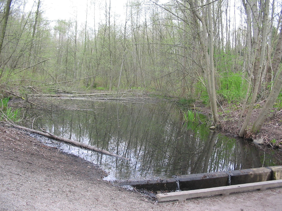
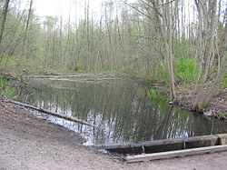 Avalon Pond, part of Everett Crowley Park.
Champlain Heights is a neighbourhood in the city of Vancouver, British Columbia, Canada.
Champlain Heights was one of the last areas of Vancouver to be urbanized. Located in the extreme south eastern corner of Vancouver, Champlain Heights is often closely associated to the neighbourhood of Killarney and consists mainly of various townhouse complexes and co-op housing units.
It is not uncommon for visitors to Champlain Heights to get lost due to the numerous winding tree-lined streets and cul-de-sacs.
Everett Crowley Park, a 40-hectare park (the city's 5th largest) and a former city dump, is located in the area. The park is named after Everett Crowley, former city planner and parks board commissioner.
The majority of the Champlain Heights area is leasehold property, with a 99-year lease with the City of Vancouver.
The area is serviced by Champlain Heights Elementary School, designed by one of Canada's foremost architects, Arthur Erickson. Champlain Heights Elementary School services grades K-7. Many of the grade fours at the Annex transfer to the mainschool. The school has many different extracurricular programs like French/German choir, knitting club, volleyball, and basketball.
There is also a primary Annex located on Champlain Crescent which provides quality education to children in Kindergarten to Grade Three. The Annex (affectionately known to community members as "The Little Red School on the Top of the Hill"[citation needed]) also provides program space to other community groups - including a program for children age newborn to 5 years and their caregivers/parents and community space to the nearby public recreation center. As of 2010, it is slated for potential closure by the Vancouver School Board, despite the school being in the center of the neighbourhood and a hub of activity in the small, mixed community.
Neighbourhoods in Vancouver, British Columbia Downtown neighbourhoods Coal Harbour • Chinatown • Davie Village • Downtown Eastside • English Bay • Financial District • Gastown • Granville Entertainment District • Granville Mall • International Village • Japantown • Robsonstrasse • Stanley Park • Victory Square • West End • Yaletown
West Side neighbourhoods Arbutus Ridge • Dunbar–Southlands • Fairview • False Creek • Kerrisdale • Kitsilano • Marpole • Oakridge • Shaughnessy • South Cambie • West Point GreyEast Side neighbourhoods Grandview–Woodland • Hastings–Sunrise • Kensington–Cedar Cottage • Killarney • Mount Pleasant • Renfrew–Collingwood • Riley Park–Little Mountain • Strathcona • Sunset • Victoria–FraserviewOther locations Champlain Heights • Commercial Drive • Granville Island • Greektown • Little Italy • Punjabi Market/Little India • Uptown/South Granville • South Main • University Endowment Lands • Hogan's Alley • Stanley ParkCategories:- Neighbourhoods in Vancouver
- Greater Vancouver geography stubs
- Vancouver stubs
Wikimedia Foundation. 2010.