- Doaktown, New Brunswick
-
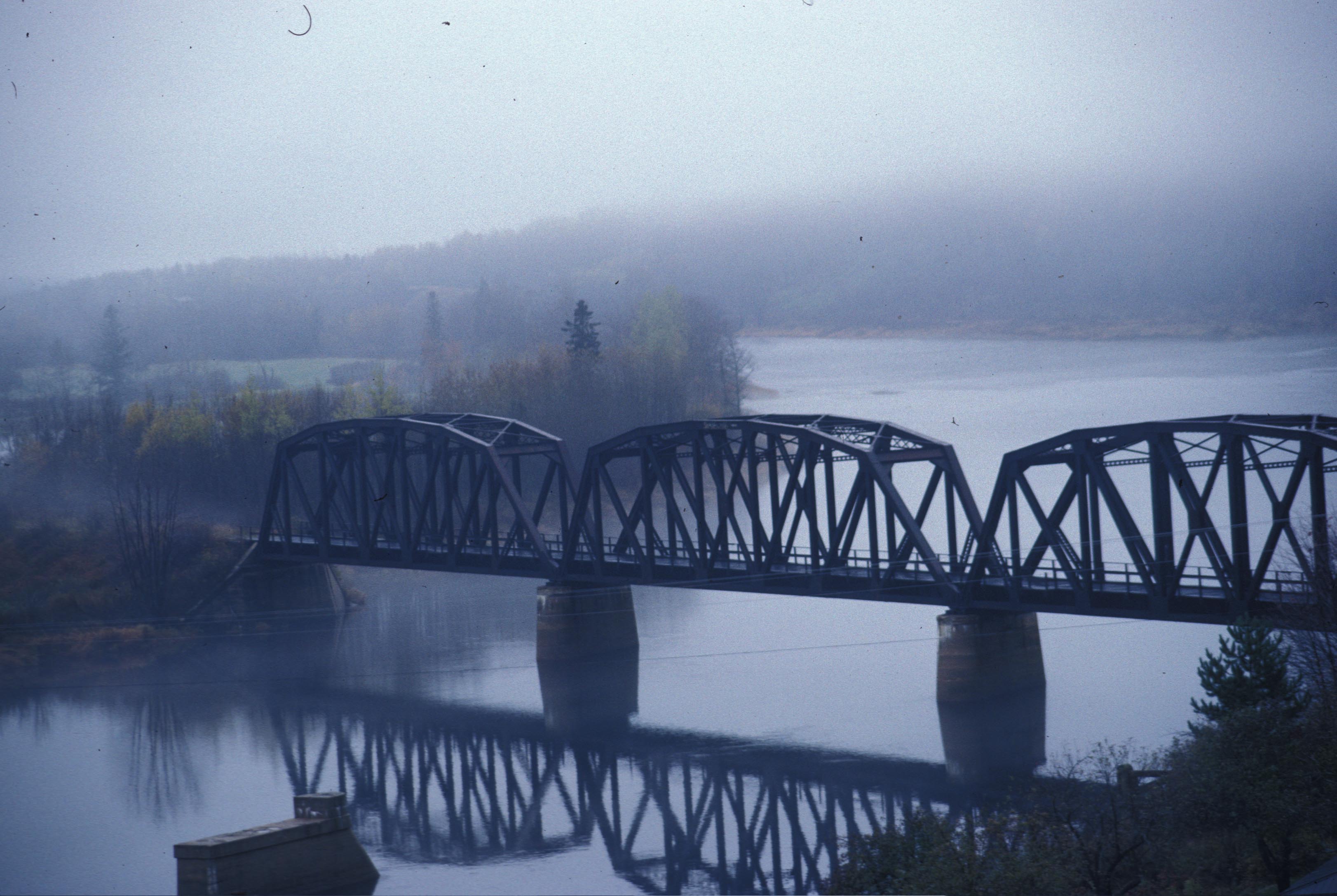
Doaktown — Village — Main Southwest Miramichi River in Doaktown (IR Walker 1988)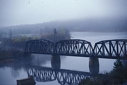

SealNickname(s): Heart of the Miramichi River Valley Location of Doaktown, New Brunswick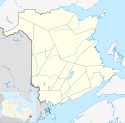
 Doaktown
Coordinates: 46°33′N 66°07′W / 46.55°N 66.117°WCoordinates: 46°33′N 66°07′W / 46.55°N 66.117°W Country  Canada
Province  New Brunswick
County Northumberland Settled 1807 Incorporated 1966 Government – Type Town Council – Mayor Charles Stewart – Deputy Mayor Paul Gillespie Area – Land 28.74 km2 (11.1 sq mi) Elevation 30 m (100 ft) Population (2006) – Total 888 – Density 30.9/km2 (80/sq mi) Time zone Atlantic (UTC-4) – Summer (DST) Atlantic (UTC-3) Area code(s) Area code 506 Website http://www.doaktown.com/ Doaktown (2006 population: 888) is a Canadian village in Northumberland County, New Brunswick.
History
It is situated on the Southwest Miramichi River and was first settled in 1807 for use as a base for the growing lumber industry in central New Brunswick. United Empire Loyalists came to the area after the American Revolutionary War and pooled the money needed for a land grant and received a grant under Ephriam Betts, the leader of the group.
Later, when the Doak family moved to the area from Scotland, Ephriam was experiencing financial difficulty. Robert Doak was able to purchase a large amount of the original land grant and built a farm and grist mill on the property.
As the population grew, Robert Doak became a prominent citizen in the area. He served with the government in several capacities, including magistrate and justice of the peace.
When the post office first came to the area, a name had to be chosen. Since Robert Doak was a prominent citizen, the area was named after him, originally as Doakton. However, it was later changed to Doaktown as it is today.
The village has a prosperous lumber industry including the Russell and Swim sawmill now owned by J.D. Irving Limited.
Atlantic Salmon fishing is also a very popular sport in the area attracting people from all over the world to fish the legendary Miramichi River.
The village has two museums: the Doak Historic Site and the Atlantic Salmon Museum. Other nearby attractions include the Priceville Footbridge, the longest suspension footbridge in New Brunswick, and Nelson Hollow Bridge, the oldest covered bridge in the province.
External links
Subdivisions of New Brunswick Subdivisions Cities Villages Alma · Aroostook · Atholville · Baker Brook · Balmoral · Bas-Caraquet · Bath · Belledune · Bertrand · Blacks Harbour · Blackville · Cambridge-Narrows · Canterbury · Cap-Pelé · Centreville · Charlo · Chipman · Clair · Doaktown · Dorchester · Drummond · Eel River Crossing · Fredericton Junction · Gagetown · Grand Manan · Grande-Anse · Grande-Digue · Harvey Station · Hillsborough · Kedgwick · Maisonnette · McAdam · Meductic · Memramcook · Millville · Minto · Neguac · New Maryland · Norton · Paquetville · Perth-Andover · Petit-Rocher · Petitcodiac · Plaster Rock · Pointe-Verte · Port Elgin · Rexton · Riverside-Albert · Rivière-Verte · Rogersville · Saint-Antoine · Sainte-Anne-de-Madawaska · Saint-François-de-Madawaska · Saint-Hilaire · Saint-Isidore · Saint-Léolin · Saint-Louis-de-Kent · Sainte-Marie-Saint-Raphaël · St. Martin's · Salisbury · Stanley · Sussex Corner · Tracy · Tide HeadCategories:- Communities in Northumberland County, New Brunswick
- Villages in New Brunswick

Wikimedia Foundation. 2010.