- Greek National Road 8A
-
Greek National Road 8a
Route information History: Constructed 1962–1973 Major junctions East end: Kifissou avenue (Athens) 9
A7
7West end: Patras Location Major cities: Athens, Corinth, Patras Highway system  A non-motorway part of the road
Greek National Road 8A is a toll road running from Kifissou avenue, in Athens up to the northeast of Patras. It is a highway from Kifissou avenue up to Corinth, for about 85 km and the rest is an undivided highway with just one lane per direction. The total length is 215 km, but for the westbound lanes at the 207th km it intersects the Patras Bypass. It is signed as European road E94 from Kifissou Ave in Athens to southwest of Corinth, then it becomes part of E65 from Corinth to Rhion interchange, and E55 from Rhion to north of Patras. The future high-speed railway will run almost entirely from the Corinth Interchange in the west up to the junction with the Attiki Odos where it is within for the rest of its length. Until the reformation of the European Road network, it was known as the E19 which ran in its entire direction except from the Rio Interchange down to Patras.
Contents
Construction
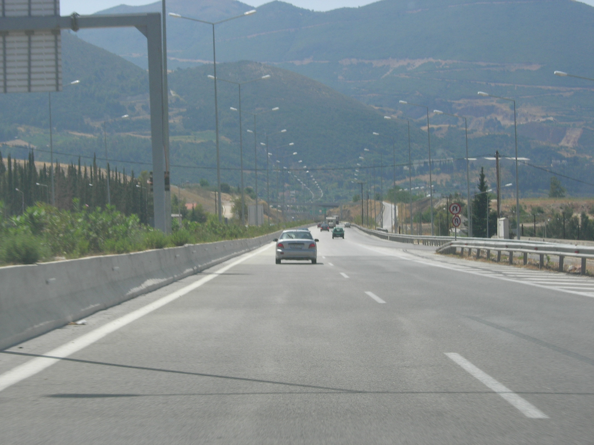
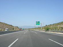 The road near the Corinth interchange.
The section Athens - Corinth was first opened in November 1962 (except the section Megara - Kineta (Kakia Skala pass) opened in late 1964 with motorway characteristics). The section Corinth - Patras was first opened in December 1969 as a 14 m width undivided road (except the Aegion bypass, opened in 1973 with motorway characteristics). The E94 part (Athens-Corinth) was upgraded to motorway standards from 1993 to 1997 (the section from Megara to Elefsina and Kineta to the Corinth Canal in 1994, the 2 km section west of Megara in 1995 and the section from the Corinth Canal to near Ancient Corinth in 1997). In Kakia Skala pass, a network of 5 tunnels and several bridges was constructed between 1999 and 2006, converting what was a particularly hazardous and narrow road section to a modern motorway with 3 lanes per direction. A large number of reconstruction and renovation projects were carried out at various parts of the 8A in the 1990s. Additionally, a major overhaul of the 8A is currently under construction as of 2008. Elefsina to Corinth will be upgraded, while a completely new motorway with tunnels will be built for Corinth to Patras part of Olympia Odos. The whole project is expected to be completed by 2014, while the Athens to Patras part will be completed by 2011.
Route Overview
Here are the complete listings of marking of the 8A, Patras-Corinth, Corinth-Athens Road, also known as Athens-Patras New National Road. Posts are marked going west. The markings here are not by exit numbers:
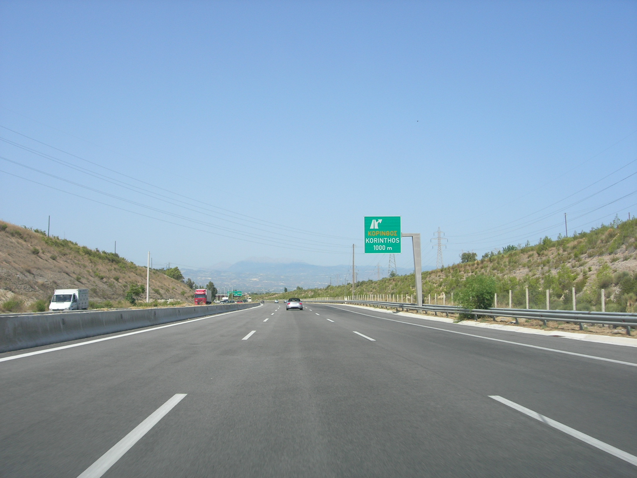
Kilometre Features, Interchanges, Junctions 4 easternmost point of E94 5 Thevon Avenue Interchange 27 Thebes-Eleuthriae Interchange, now cloverleaf 28 Athens Tollway (spur) junction, opened in 2004 30 Eleusis toll booth 35 Neos Peramos Interchange 42 Megara/Old National Road (GR8) Interchange (westbound cloverleaf) 43 Megara Rest Area, opened 1999 44 Megara-Pachi Interchange (cloverleaf) 46 easternmost point of Kakia Skala 52 Westernmost point of Kakia Skala 52 Old Kineta Interchange (closed 2001) 54 New Kineta Interchange (cloverleaf), opened 1995 57 Attica-Corinthia prefectural (departmental/provincial) boundary 62 Aghioi Theodoroi Toll Interchange 68 north of the refinery 72 Isthmia Toll booth 73 view of Kalamaki 74 Corinth-Loutraki (Old GR-9) interchange (westbound), old toll booth 75 Epidaurus (GR-70) Interchange 77 underpass 78 West Corinth-Examili Interchange 80 Tripoli (GR-7 E65) Junction, end of E94 82 Argos, Nauplion-Lechaeum (GR-7) Interchange 90 Corinth rest area (eastbound) 91 Corinth Toll booth or station 102 South Kiato Rest Area 106 and 107 2 overpasses 108 Elissus/Elissos River 109 Kiaton-Stymphalia Interchange 110 Kiaton Rest Area (westbound) 125 Xylokastron-Trikkala Interchange 146 Parking area (both directions) 147 Akrata-Aigiera Interchange 154 ELPA Rest Area 158 Kalavrita-Diacopton(um) Interchange 171 Texaco Bon Voyage sign (torn down) 172 Aegion-Pterion-Kalavrita Interchange 173 GR31 overpass 174 Aegion Rest Area (Shell gas station/gasbar) 175 West Aegion 177 West Aegion/Old GR-9 Interchange, (eastbound, partial) (cloverleaf) 181 Longos-Selianitika-Old GR-8 Interchange 182 view of Longos 183 view of Selianitika 184 Low railway bridge 187 Achaea and the Peloponnese's Northernmost point 205 Rhion Toll booth or station 206 Rhion Junction, access to Rio-Antirio bridge,
Rio and the old road207 Patras Interchange, also access to Panachaiko,
access to Patras Bypass, opened 2003209 to 211 (2 to 4) Patras Tunnel 209 University of Patras-Proasteia Junction 212 Pyrgos-Port of Patras Junction (opened 1996) 213 Aretha Street Jct. (Skiessa-Hagyia) (former fourth route) 214 Amerikis Street Jct. (fmr. third route) 215 Panepistemeiou Street 216 Downtown Patras There are 4 toll stations in the 8A at this time: Eleusis Toll booth, Isthmia toll booth, Corinth toll Booth, and Rhion toll booth at the 205th km. Before the completion of the Rhion-Antirrion Bridge, this part of the highway was the only one connecting the Peloponnese to the rest of Greece. The motorway part has 3 lanes per direction. Rest areas are in Megara, Corinth, between Corinth and Kiato, the old ELPA about 10 km west of Aigeira and Aigio.
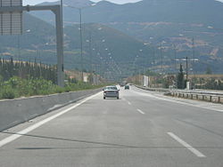
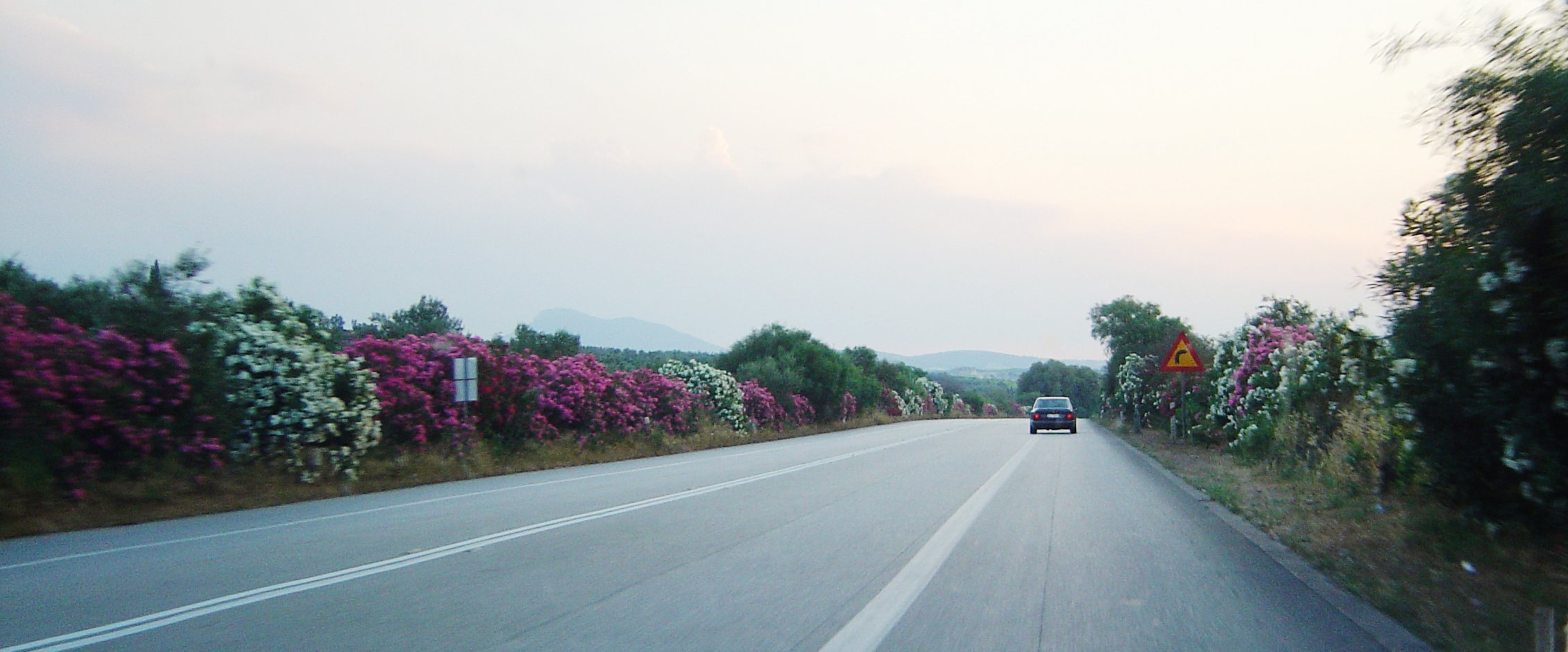
The semi-highway part from Corinth to Patras is considered to be one of the most dangerous roads in Greece at this time.[citation needed] The features of the road tend to cause many accidents.[citation needed]
Patras Bypass
The bypass of Patras is a motorway that runs from the Mintilogli exit (GR-9), 8.8 km S of Patras up to the Patras exit, nearly 7 km N of the city. Planning of the bypass began in the 1980s, but construction didn't begin until the 1990s, in the region between Roitika and Mintilogli. Construction reached Dimokratias Street (GR-33) in 1992, the Glafkos river in about the mid-1990s, and the tunnels were constructed in the late-1990s, until 2001. In October 2002, the bypass was opened to traffic. As a result, traffic in downtown Patras has significantly decreased. It was closed for a few days a month after its opening as a result of a mudslide, but was reopened after repairs. The bypass has five interchanges (four full and one partial with a northbound exit at the beginning). It is part of Olympia Odos (or Motorway A9) for southbound lanes of the bypass, (N) indicates northbound lanes and (S) indicates southbound lanes on the bottom part of the chart.
 View of the bypass.
Order (south) Junction Patras Bypass 1 4 tunnels EXIT 2 (S)/4 (N): Egklykada Interchange EXIT 3 Glafkos Interchange EXIT 4 (S)/2 (N): Ovrya Interchange,
access to GR-33EXIT 1 (N): Mintilogli Interchange,
access to Patras (N),
access to GR-9 (S)See also
Highways in Greece Motorways A1 · A2 (Egnatia) · A3 · A4 · A5 (Ionia) · A6 (Attiki) · A7 (Moreas) · A8 (Olympia) · A9 (Olympia) · A90National roads GR-1 · GR-2 · GR-3 · GR-4 · GR-5 · GR-6 · GR-7 · GR-8 · GR-8A · GR-9 · GR-9A · GR-12 · GR-13 · GR-14 · GR-15 · GR-16 · GR-18 · GR-20 · GR-21 · GR-22 · GR-26 · GR-27 · GR-30 · GR-31 · GR-33 · GR-36 · GR-37 · GR-38 · GR-39 · GR-42 · GR-44 · GR-48 · GR-50 · GR-51 · GR-52 · GR-53 · GR-55 · GR-57 · GR-59 · GR-61 · GR-63 · GR-65 · GR-66 · GR-67 · GR-70 · GR-74 · GR-76 · GR-77 · GR-79 · GR-82 · GR-83 · GR-85 · GR-86 · GR-89 · GR-90 · GR-91 · GR-95 · GR-97 · GR-99

Wikimedia Foundation. 2010.