- Mautby
-
Coordinates: 52°39′07″N 1°39′49″E / 52.65202°N 1.663742°E
Mautby 
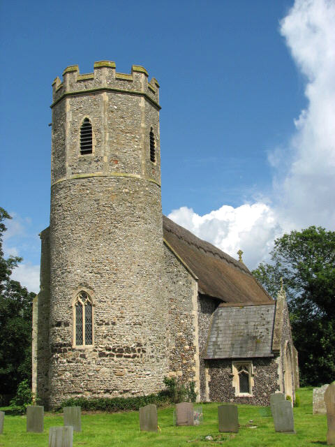
St Peter & St Paul, Mautby
 Mautby
Mautby shown within NorfolkArea 16.60 km2 (6.41 sq mi) Population 395 - Density 24 /km2 (62 /sq mi) OS grid reference TG 479 123 Parish Mautby District Great Yarmouth Shire county Norfolk Region East Country England Sovereign state United Kingdom Post town GREAT YARMOUTH Postcode district NR29 Police Norfolk Fire Norfolk Ambulance East of England EU Parliament East of England List of places: UK • England • Norfolk Mautby is a civil parish in the English county of Norfolk. The parish comprises a largely rural area along the north bank of the River Bure, and includes the small villages of Mautby, Runham and Thrigby. It is located some 10 km (6.2 mi) west of the town of Great Yarmouth and 30 km (19 mi) east of the city of Norwich.[1]
The civil parish has an area of 16.6 km2 (6.4 sq mi) and in the 2001 census had a population of 395 in 145 households. For the purposes of local government, the parish falls within the district of Great Yarmouth.[2]
Notes
- ^ Ordnance Survey (2005). OS Explorer Map OL40 - The Broads. ISBN 0-319-23769-9.
- ^ Office for National Statistics & Norfolk County Council (2001). Census population and household counts for unparished urban areas and all parishes. Retrieved December 2, 2005.
External links
- Map sources for Mautby.
- Map sources for Runham.
- Map sources for Thrigby.
- Information from Genuki Norfolk on Mautby.
- Information from Genuki Norfolk on Runham.
- Information from Genuki Norfolk on Thrigby.
- Runham village web site
Ashby with Oby · Belton with Browston · Bradwell · Burgh Castle · Caister-on-Sea · Filby · Fleggburgh · Fritton and St Olaves · Hemsby · Hopton-on-Sea · Martham · Mautby · Ormesby St Margaret with Scratby · Ormesby St Michael · Repps with Bastwick · Rollesby · Somerton · Stokesby with Herringby · Thurne · West Caister · Winterton-on-Sea
See also: South Norfolk · Great Yarmouth · Broadland · North Norfolk · King's Lynn and West Norfolk · BrecklandCategories:- Villages in Norfolk
- Civil parishes in Norfolk
- Norfolk geography stubs

Wikimedia Foundation. 2010.