- 2006 North Indian Ocean cyclone season
-
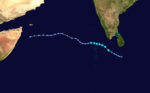
2006 North Indian Ocean cyclone season 
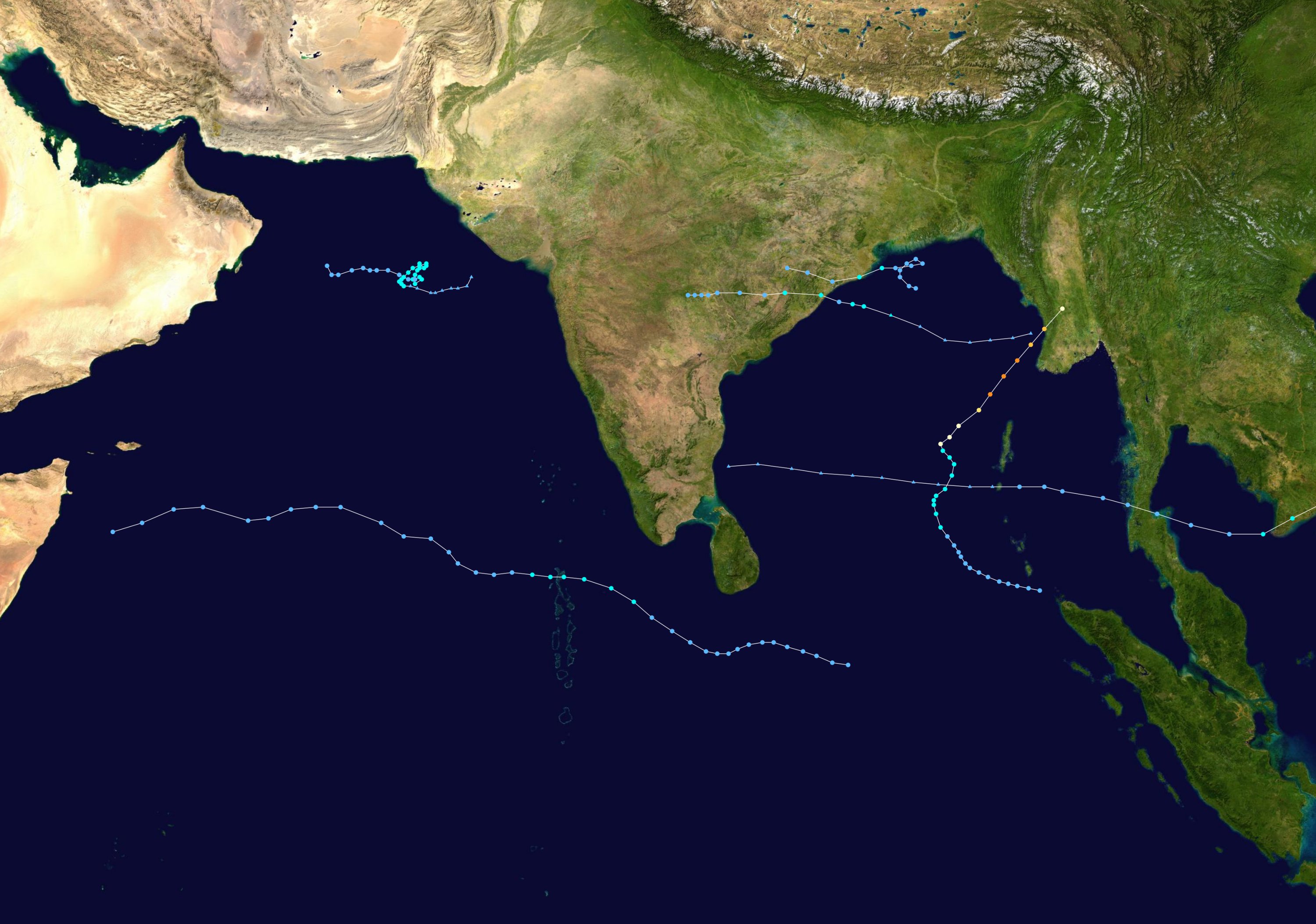
Season summary mapFirst storm formed: January 13, 2006 Last storm dissipated: October 30, 2006 Strongest storm: Mala – 954 hPa (mbar), 185 km/h (115 mph) (3-minute sustained) Depressions: 12 Deep depressions: 6 Cyclonic storms: 3 Severe cyclonic storms: 2 Very severe cyclonic storms: 1 Total fatalities: 192 Total damage: Unknown North Indian Ocean cyclone seasons
2004, 2005, 2006, 2007, 2008The 2006 North Indian Ocean cyclone season had no bounds, but cyclones tend to form between April and December, with peaks in May and November. These dates conventionally delimit the period of each year when most tropical cyclones form in the northern Indian Ocean.
The scope of this basin is north of the Equator and west of the Malay Peninsula. The IMD and JTWC monitor this basin. This basin is divided in two seas by India, the Bay of Bengal and Arabian Sea, abrriviated BOB and ARB, respectively.
Although an inactive year, 2006 had more of note than previous years like 2005 or 2004. Cyclone Mala caused severe damage and killed 22 when it hit Burma as a cat. 3. An unnamed depression killed over 100 in India, and cyclonic storm Ogni caused minor effects in India as well. Additionally, the remnants of Typhoon Durian crossed the Malay Peninsula causing minor effects, but was a rare basin-crosser in this area.
Season summary
Deep Depression ARB 01
Deep depression (IMD) Tropical storm (SSHS) 
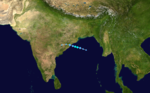
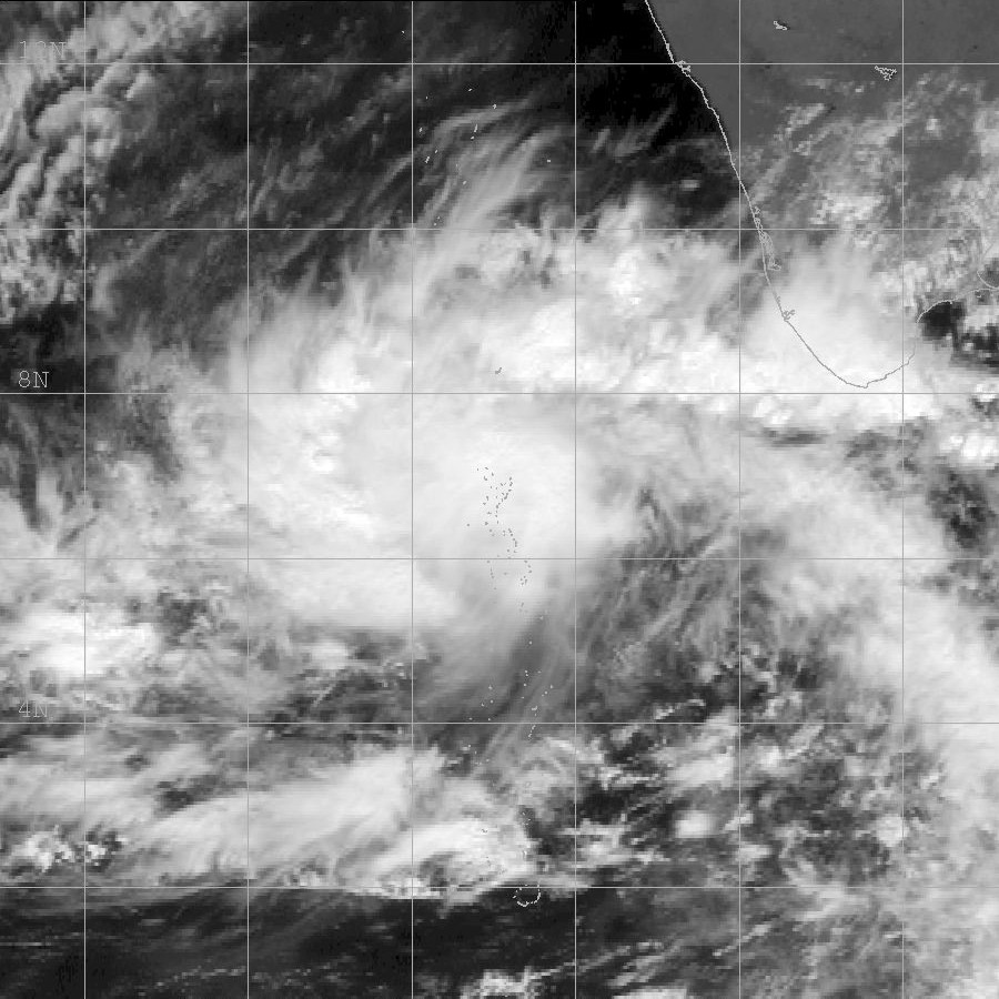
Duration January 13 – January 14 Intensity 55 km/h (35 mph) (3-min), 1004 mbar (hPa) On January 13, an area of convection organized into Tropical Cyclone 01A to the southwest of the southern tip of India. Shortly after forming, conditions quickly became unfavorable, and the storm dissipated on January 14 over open waters.
Very Severe Cyclonic Storm Mala
Very severe cyclonic storm (IMD) Category 4 tropical cyclone (SSHS) 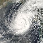
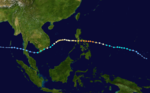
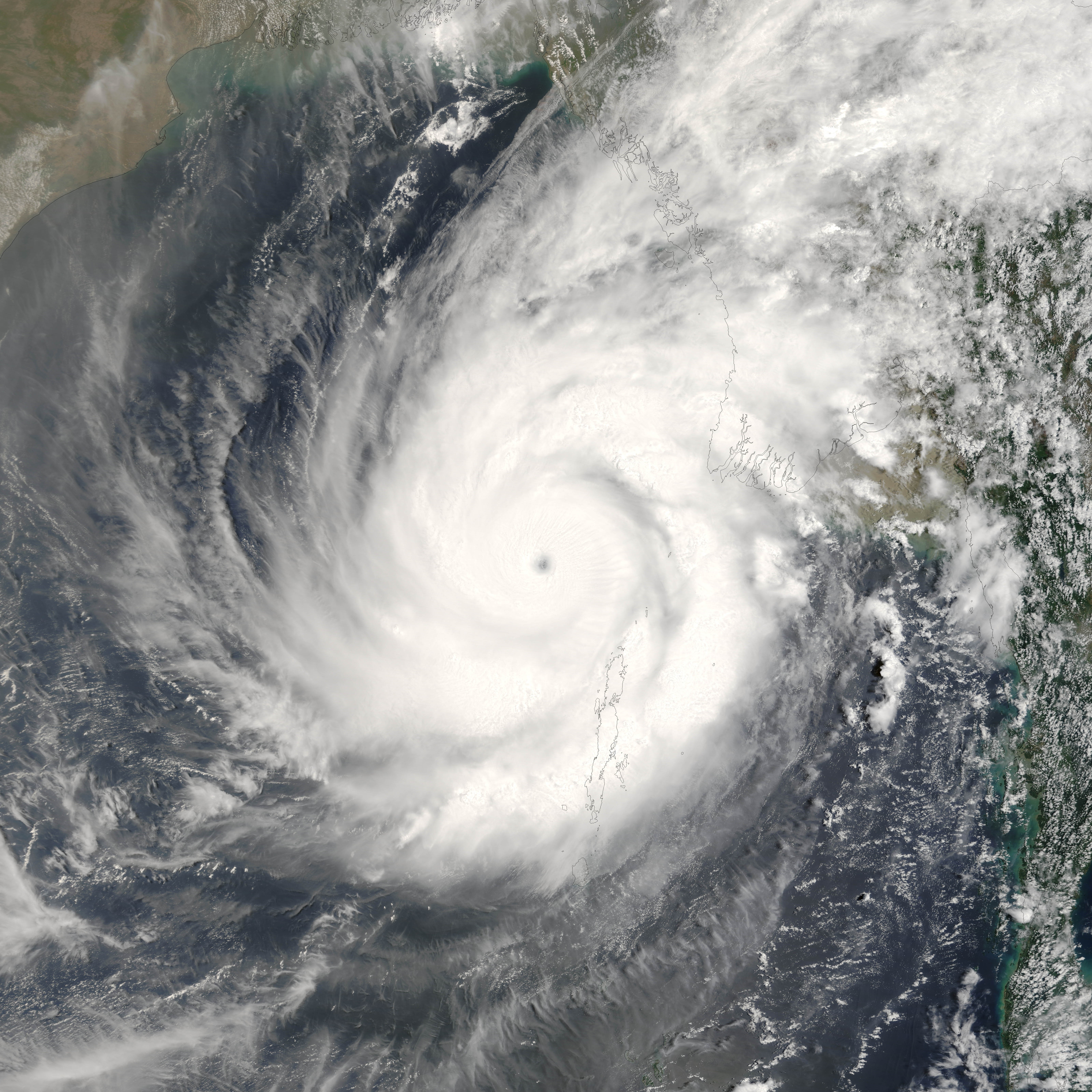
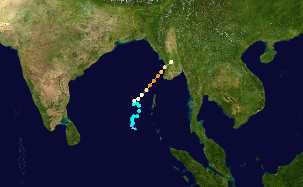
Duration April 25 – April 29 Intensity 185 km/h (115 mph) (3-min), 954 mbar (hPa) Main article: Cyclone MalaAn area of disturbed weather developed into Tropical Cyclone 02B on April 24 in the central Bay of Bengal. It later intensified into Cyclonic Storm Mala on April 25. Convection steadily increased, and under a favorable environment, the storm attained very severe cyclone strength, the equivalent to a Category 1 hurricane on the Saffir-Simpson hurricane scale, on the 27th. It accelerated to the northeast, and intensified rapidly into an equivalent Category 4 cyclone on the Saffir-Simpson scale with wind speeds of over 185 km/h (115 mph) on the 28th, its peak intensity. It quickly weakened after peaking, made landfall on the 29th, and quickly dissipated over Myanmar.
Prior to making landfall, the cyclone lashed the western Myanmar coastline with powerful waves. Upon hitting the country, Mala caused severe structural damage. The area hardest hit was just outside of Yangon, with the strong winds damaging 150 buildings. The cyclone also downed numerous power lines, leaving many without electricity.[1] Mala dropped heavy rainfall throughout Myanmar, stopping drains in Yangon and causing flooding of up to 1 meter (3.28 ft) in depth.[2] The cyclone killed at least 22 people during its onslaught.
Cyclone Mala was the third intense cyclone to form in April; the other two were in 1991 and in 1994. Coincidentally, Cyclone Mala and the cyclones in 1991 and 1994 were all numbered as "02B", they are the only cyclones ever to form in April, and all of them made very destructive landfalls on the Asian mainland.[3]
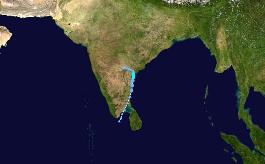
Deep Depression BOB 02
Deep depression (IMD) Tropical storm (SSHS) 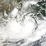
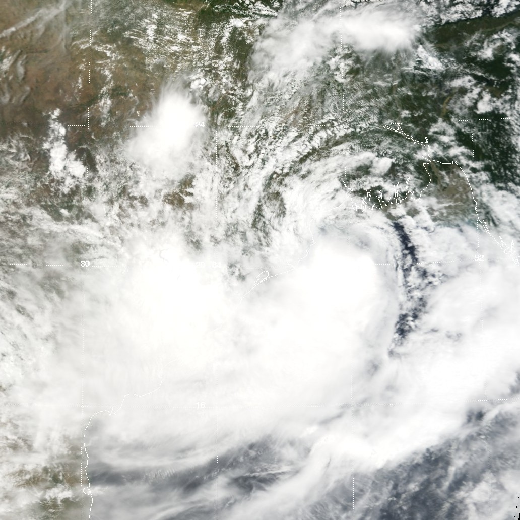
Duration July 2 – July 5 Intensity 55 km/h (35 mph) (3-min), 982 mbar (hPa) An area of disturbed weather formed near the coastline of eastern India on around June 30, 2006. It slowly developed until it was classified as a tropical cyclone on July 2 by the Joint Typhoon Warning Center. The system made landfall in Orissa between Paradip and Chandbali at around 2030 IST on July 2 and dissipated over land two days later.
Deep Depression BOB 03
Deep depression (IMD) 
Duration August 2 – August 5 Intensity 55 km/h (35 mph) (3-min), 986 mbar (hPa) Depression BOB 04
Depression (IMD) Duration August 12 – August 13 Intensity 45 km/h (30 mph) (3-min), 992 mbar (hPa) Existed between August 12 and August 13, with MSW of 25 knots and pressure of 992 mb.
Depression BOB 05
Depression (IMD) Duration August 16 – August 18 Intensity 45 km/h (30 mph) (3-min), 988 mbar (hPa) Existed between August 16 and August 18, with MSW of 25 knots and pressure of 988 mb.
Depression BOB 06
Depression (IMD) Duration August 29 – September 1 Intensity 45 km/h (30 mph) (3-min), 990 mbar (hPa) Existed between August 29 and September 1, with MSW of 25 knots and pressure of 990 mb.
Depression BOB 07
Depression (IMD) Duration September 3 – September 4 Intensity 45 km/h (30 mph) (3-min), 992 mbar (hPa) Existed between September 3 and September 4, with MSW of 25 knots and pressure of 992 mb.
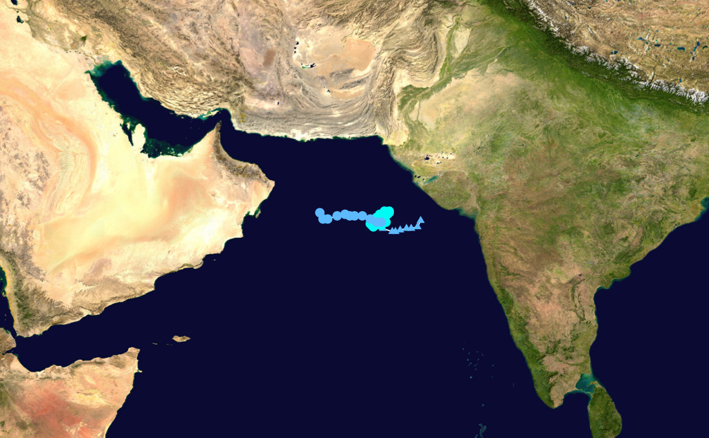
Severe Cyclonic Storm Mukda
Severe cyclonic storm (IMD) Tropical storm (SSHS) 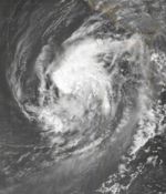
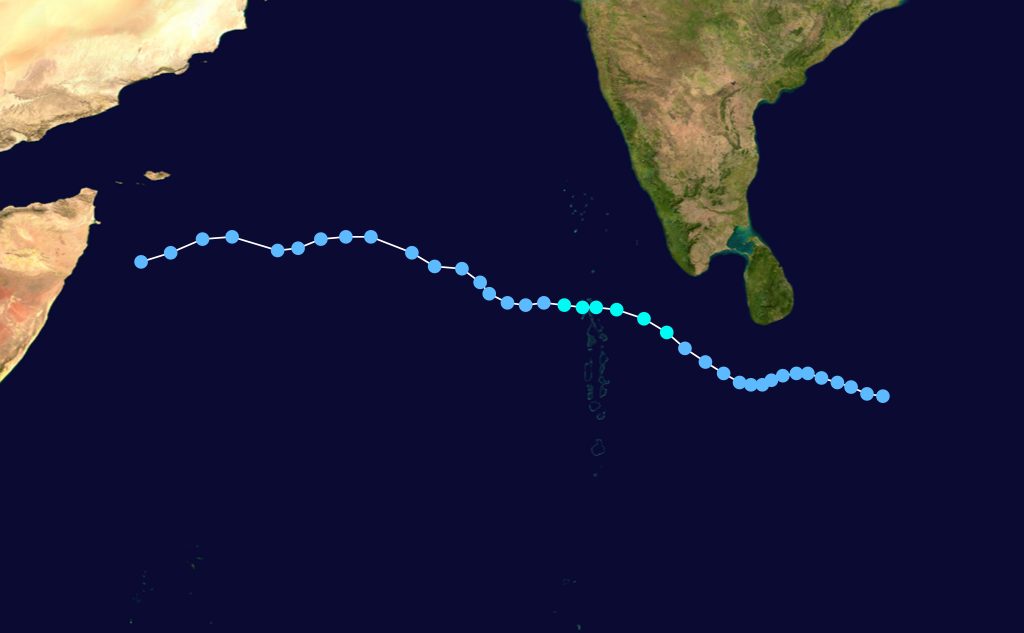
Duration September 21 – September 24 Intensity 100 km/h (65 mph) (3-min), 988 mbar (hPa) An area of disturbed weather in the Arabian Sea was classified as Tropical Cyclone 04A by the Joint Typhoon Warning Center on September 21. The India Meteorological Department began monitoring the system as a deep depression later that day, and designated it Cyclonic Storm Mukda early on September 22. Mukda slowly and erratically meandered to the northeast and intensified into a severe cyclonic storm later that day. On September 24, Mukda weakened into a depression under increasing wind shear. The remnant circulation lingered for four more days before dissipating on September 28. Mukda was never forecast to make landfall.
Depression BOB 08
Depression (IMD) Duration September 21 – September 24 Intensity 45 km/h (30 mph) (3-min), 996 mbar (hPa) The India Meteorological Department upgraded a well-marked low pressure area near Jamshedpur, India to a land depression with minimum pressure 996hPa and maximum sustained winds of 25 knots (46 km/h) on September 21.[4] The United States Naval Research Laboratory previously monitored the system as an area of interest before it moved inland near the border of India and Bangladesh. The depression degenerated into a low pressure area on September 24 and dissipated later that day. Torrential downpours caused flooding that killed more than 170 people and left around 375,000 homeless in eastern India and Bangladesh.[5]
Depression BOB 09
Depression (IMD) Tropical storm (SSHS) 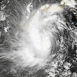
Duration September 28 – September 30 Intensity 45 km/h (30 mph) (3-min), 1002 mbar (hPa) Tropical Cyclone 05B formed on September 28 approximately 250 nautical miles (460 km) south of Kolkata, India. It made landfall on September 29 near Brahampur, India before dissipating overland.
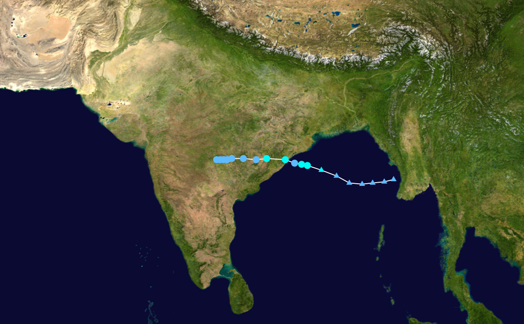
Cyclonic Storm Ogni
Cyclonic storm (IMD) Tropical storm (SSHS) 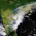
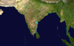
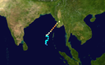
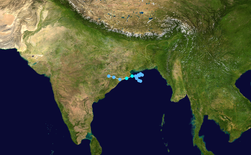
Duration October 29 – October 30 Intensity 65 km/h (40 mph) (3-min), 988 mbar (hPa) On October 29, a deep depression that had formed in the past day off the coast of Andhra Pradesh strengthened and was named Ogni, a name contributed by Bangladesh. It weakened back into a deep depression on October 30 and made landfall near Bapatla at around 1300 IST (0730 UTC). The system was numbered as TC 06B in JTWC post-analysis.[6]
At least 35 people were killed by record rainfalls which exceeded 900 mm (35.4 in) in localized areas.[7]
Tropical Depression Durian
Tropical depression (SSHS) 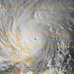
Duration December 5 (entered basin) – December 6 Intensity 35 km/h (25 mph) (1-min), 1004 mbar (hPa) Main article: Typhoon Durian (2006)On December 5, the Japan Meteorological Agency and the Joint Typhoon Warning Center reported that a weakening Tropical Depression Durian had moved into the Andaman Sea.[8] However the Indian Meteorological Department did not release any warnings or assign a BOB designation.
See also
- List of North Indian Ocean cyclone seasons
- 2006 Atlantic hurricane season
- 2006 Pacific hurricane season
- 2006 Pacific typhoon season
- South-West Indian Ocean cyclone seasons: 2005–06, 2006–07
- Australian region cyclone seasons: 2005–06, 2006–07
- South Pacific cyclone seasons: 2005–06, 2006–07
References
- ^ [1][dead link]
- ^ [2][dead link]
- ^ Monthly Global Tropical Cyclone Summary April 2006 Archived 19 December 2010 at WebCite
- ^ http://www.wmo.ch/pages/prog/www/tcp/documents/PTC34_final_report.pdf Archived 19 December 2010 at WebCite
- ^ http://www.alertnet.org/thenews/newsdesk/SP274491.htm[dead link]
- ^ TROPICAL CYCLONE (TC) 06B Archived 19 December 2010 at WebCite
- ^ M M Nayak (2007). "Cyclone Ogni". Andhra Pradesh Disaster Management. Archived from the original on 2010-12-19. http://www.lbsnaa.ernet.in/lbsnaa/research/cdm/hamradioclub/DisasterMan(final)-3.doc. Retrieved April 15, 2009.
- ^ http://www.usno.navy.mil/NOOC/nmfc-ph/RSS/jtwc/best_tracks/2006/2006s-bwp/bwp242006.txt
External links
Tropical cyclones of the 2006 North Indian Ocean cyclone season
MuIMD Tropical Cyclone Intensity scale D DD CS SCS VSC SC  Book ·
  Category ·
  Portal ·
  WikiProject ·
  Commons
2000–09 North Indian Ocean cyclone seasons Categories:


Wikimedia Foundation. 2010.