- Mayacamas Mountains
-
Mayacamas Mountains Range  Mount Saint Helena
Name origin: Wappo language Country United States State California Part of California Coast Ranges Coordinates 38°40′9.663″N 122°37′59.948″W / 38.66935083°N 122.63331889°W Highest point - location Cobb Mountain - elevation 4,724 ft (1,440 m) - coordinates 38°48′27″N 122°44′26″W / 38.8075°N 122.74056°W Length 52 mi (84 km), northwest-southeast 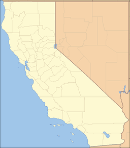

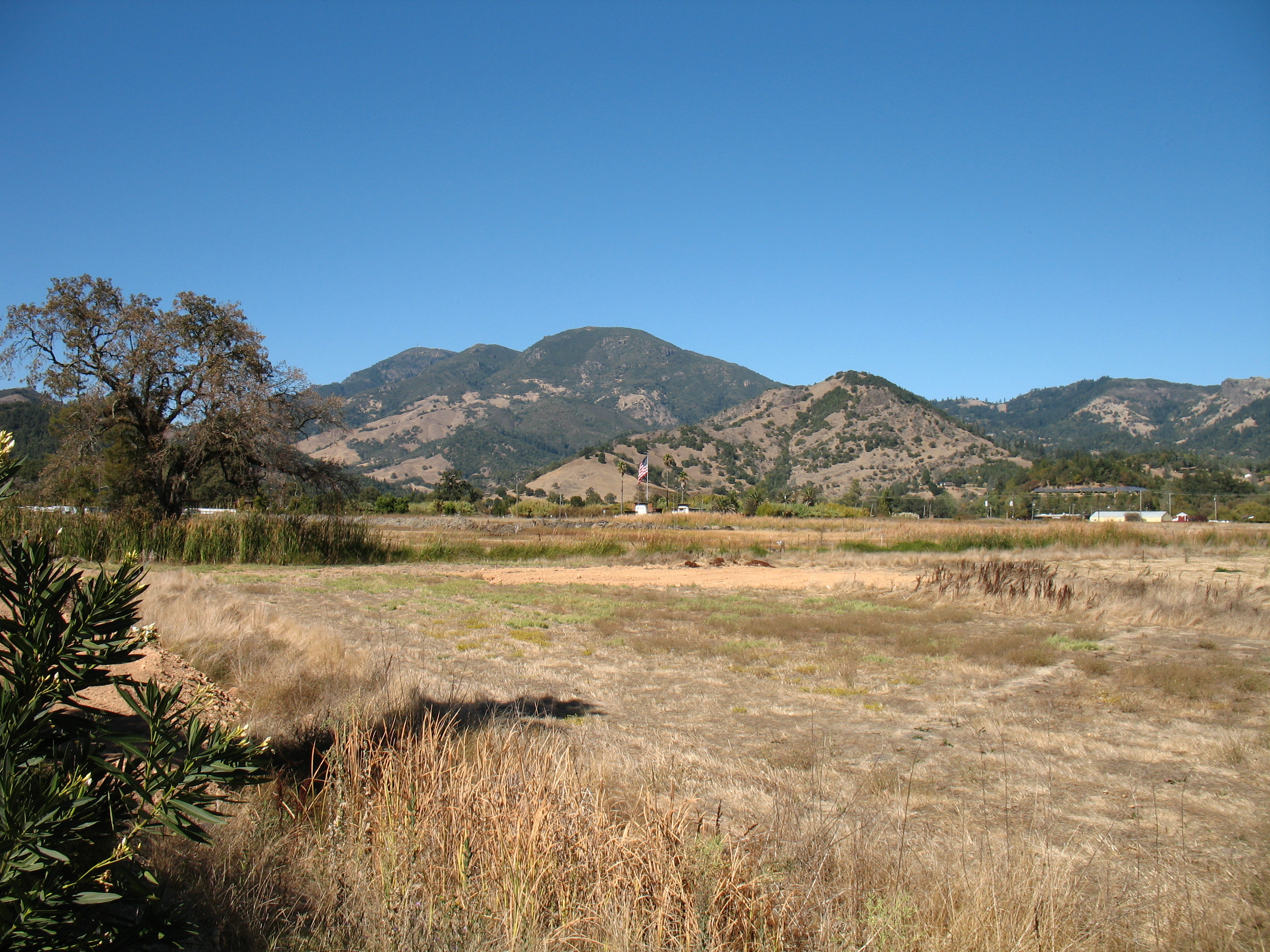
The Mayacamas Mountains are located in northwestern California in the United States. The mountains, part of the Inner Coast Ranges among the California Coast Ranges, are found south of the Mendocino Range, west of Clear Lake, and east of Ukiah, and extend south into Napa and Sonoma counties. The range stretches for 52 mi (80 km)[2] in a northwest-southeasterly direction, and reaches an elevation of 4,724 ft (1,440 m) above sea level at Cobb Mountain[3] in the central part of the chain. There are several other peaks over 2,500 feet (750 m), including Mount Saint Helena and Hood Mountain. These peaks are sufficiently high to retain some snow cover in winter. Several streams rise in the Mayacmas Mountains including Mark West Creek, Sonoma Creek, Calabazas Creek, Arroyo Seco Creek, Putah Creek, and Santa Rosa Creek. In prehistoric times of about ten million years ago, these mountains are thought to have been densely forested in Mendocino Cypress.
Naming
According to Gudde: "The mountain chain, forming the divide of the headwaters of Russian River and Clear Lake, was named for the Native American tribes on the west slope, probably a division of the Yuki. According to Barrett (Pomo, p. 269), there was a Yukian Wappo village, Maiya'kma, one mile south of Calistoga. Serro de los Mallacomes (Mount Saint Helena) is shown on a diseno of the Rancho Caymus grant (1836). Later the name appears in the title and on the disenos of the Rancho Mallacomes y Plano de Agua Caliente or Moristul land grant, dated September 3, 1841, and October 11 and 14, 1843. The present spelling is used in the Statutes of 1850 (pp. 60 f.). Although this version was also used by the Whitney Survey, confusion persists to the present day. The Geographic Board (Fifth Report) decided for Miyakma, but in 1941 it reversed this decision in favor of Mayacmas ('not Miyakma, Cobb Mountain Range, Malacomas, Mayacamas, nor St. Helena Range'). The stream is still called Maacama Creek."
See also
- Mark West Springs
- Mayacamas Vineyards
- Snell Valley
References
- ^ "Mayacmas Mountains". Geographic Names Information System, U.S. Geological Survey. http://geonames.usgs.gov/pls/gnispublic/f?p=gnispq:3:::NO::P3_FID:234255. Retrieved 2009-05-04.
- ^ U.S. Geological Survey Geographic Names Information System: Mayacmas Mountains
- ^ U.S. Geological Survey Geographic Names Information System: Cobb Mountain
- Allan, Stuart (2005). California Road and Recreation Atlas. Benchmark Maps. p. 63. ISBN 0-929591-80-1.
- Gudde, Erwin (1969). California Place Names (third ed. ed.). University of California Press. p. 196. ISBN 0-520-01574-6.
Categories:- California Coast Ranges
- Mountain ranges of the San Francisco Bay Area
- Mountain ranges of Mendocino County, California
- Mountain ranges of Lake County, California
- Mountain ranges of Napa County, California
- Mountain ranges of Sonoma County, California

Wikimedia Foundation. 2010.