- Ohio City, Cleveland
-
Ohio City — Neighborhoods of Cleveland — Market Avenue, one of Ohio City's pedestrian-friendly streets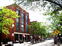
Country United States State Ohio County Cuyahoga County City Cleveland Population (2000) - Total 9,308 13.2% decrease from 1990 Census Demographics - White 54.7% - Black 26.6% - Hispanic 26.7% - Asian >1% - Other >13% Time zone EST (UTC-5) - Summer (DST) EDT (UTC-4) ZIP Codes 44113, 44102 Area code(s) 216 Median income $20,408 Source: 2000 U.S. Census, City Planning Commission of Cleveland [1] Ohio City Preservation District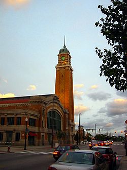 The West Side Market
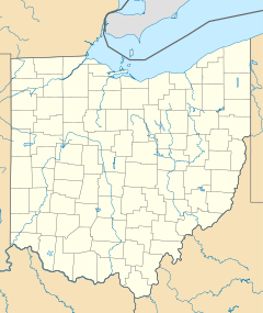

Location: Roughly Franklin Blvd. NW., W. 38th St., Bridge Ave. NW., & W. 44th St., & Stone, W. 25th, Bridge Ave. NW., & W. 28th, Cleveland, Ohio Coordinates: 41°29′1″N 81°42′37″W / 41.48361°N 81.71028°WCoordinates: 41°29′1″N 81°42′37″W / 41.48361°N 81.71028°W Architect: Unknown Architectural style: Greek Revival, Italianate, Queen Anne Governing body: Local NRHP Reference#: 89000435
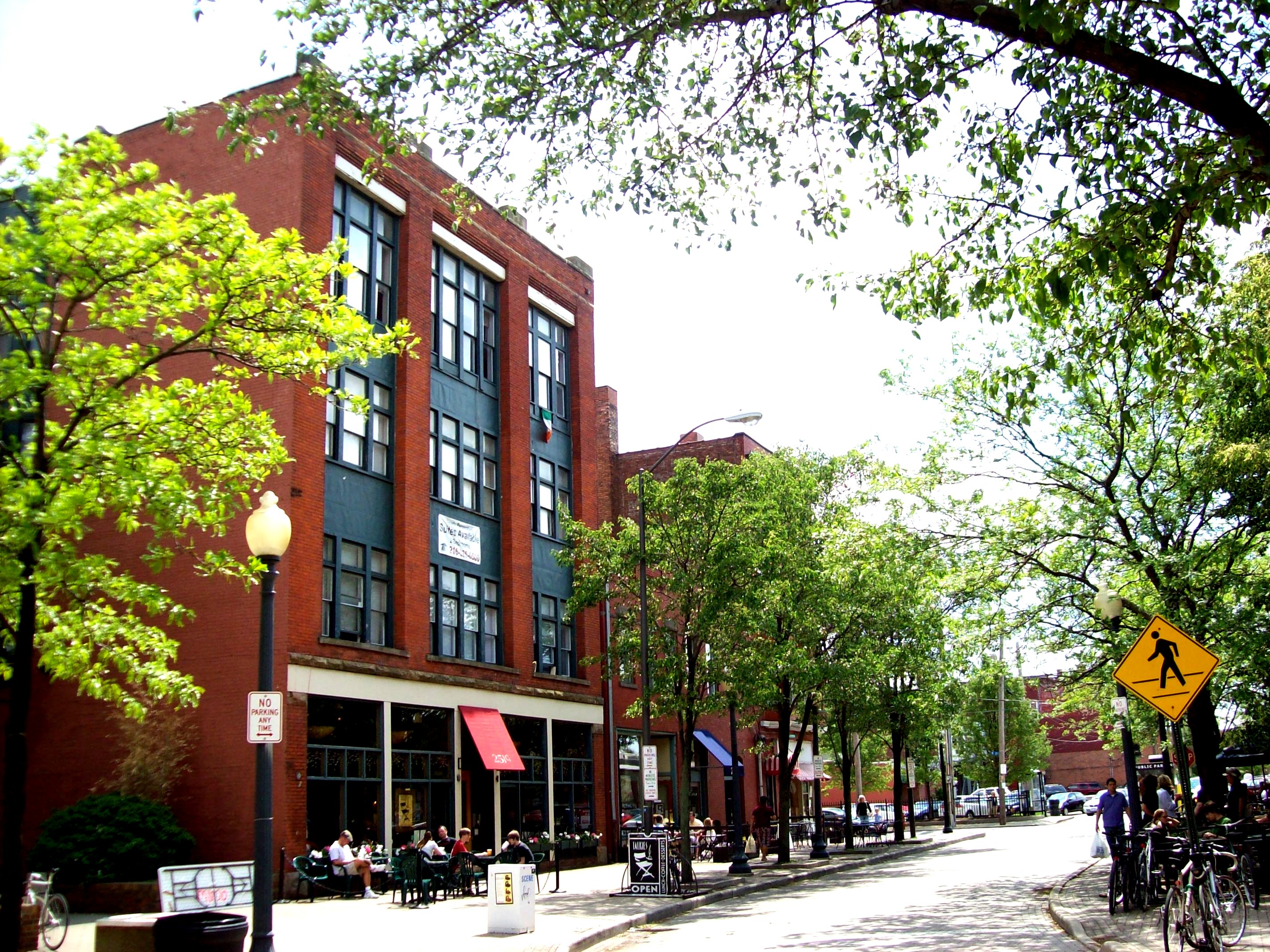
[2]Added to NRHP: May 25, 1989  Looking down Ohio City's retail hub, West 25th.
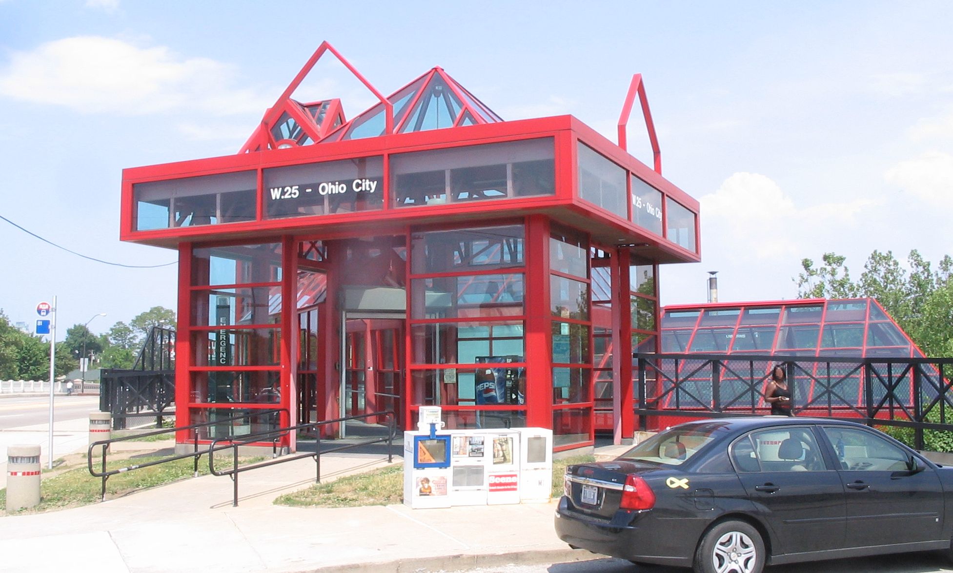
 Ohio City's rapid transit station
Ohio City is one of the oldest neighborhoods in Cleveland, Ohio. Located immediately west of the Cuyahoga River, the City of Ohio became an independent municipality on March 3, 1836, splitting from Brooklyn Township. The city grew from a population of 2,400 people in the early 1830s to over 4,000 in 1850. The municipality was annexed by Cleveland on June 5, 1854.
James A. Garfield, who became the 20th president of the United States, frequently preached at Franklin Circle Christian Church in 1857. Franklin Circle Christian Church is located at the intersection of Franklin Avenue and Fulton Road.
The modern focal point of Ohio City is the historic West Side Market, built in 1912. The European-styled market, located at the intersection of Lorain Avenue and West 25th Street, draws an estimated one million visitors annually.[3]
The demographics of Ohio City have changed rather dramatically in the latter half of the 20th century and first part of the 21st. Originally composed mainly of English and German descendants, many Eastern European immigrants moved into the area during the migrations in the first half of the 20th century. As Cleveland expanded and the wealthy moved to the surrounding suburbs, including Parma, Brooklyn, and Lakewood in the 1960s and 1970s, the percentage of African Americans increased. The size of the Latino community has also increased. However, Cleveland City Council, with an eye on redevelopment and with the incentive of tax breaks, has lured an increasing number of suburbanites of all backgrounds back into the Ohio City area. This has led to a diverse community and melting pot.
Founded in 1886, Saint Ignatius High School is located in Ohio City just blocks from the West Side Market. Located at 1911 W. 30th Street, the school provides young men with a college preparatory education in the Jesuit tradition, encouraging service to the surrounding community. It has a reputation for academic excellence, as well as nationally recognized sports teams. Some members of the community have bristled at the expansion of the school and have resisted the sales of surrounding property.
St. John's Episcopal Church, located at Church and W.28th Street, is the oldest consecrated building in Cuyahoga County and is the mother church of the current Episcopal cathedral located in downtown Cleveland. The church was one of the final stops on the Underground Railroad in Northeastern Ohio, and the remains of an entrance to a tunnel leading to the banks of the nearby Cuyahoga River can still be seen in the basement. Several nearby streets retain church-related names, such as Vestry. An Episcopal parish continues to worship in the space, although membership has dramatically declined with the demographic changes in the neighborhood.
The award-winning Great Lakes Brewing Company, is located on W.28th Street in Ohio City, with its brewpub on Market Avenue (adjacent to the West Side Market) occupying a building that formerly housed the Market Tavern, a pub frequented by Elliot Ness.[4]
References
- ^ http://planning.city.cleveland.oh.us/census/factsheets/spa10.pdf
- ^ "National Register Information System". National Register of Historic Places. National Park Service. 2008-04-15. http://nrhp.focus.nps.gov/natreg/docs/All_Data.html.
- ^ http://www.westsidemarket.org/about.html
- ^ http://www.greatlakesbrewing.com/brewpub/around-the-brewpub
External links
41°29′03″N 81°42′41″W / 41.484195°N 81.711295°W
City of Cleveland City Council · Historic Places · History · Timeline · Mayors · Media · People · Police · Public schools · Sports · Tallest buildingsNeighborhoods Brooklyn Centre · Buckeye-Shaker · Central · Clark-Fulton · Corlett · Cudell · Detroit-Shoreway · Downtown · Edgewater · Euclid-Green · Goodrich-Kirtland Park · Fairfax · Forest Hills · Glenville · Hough · Industrial Valley · Jefferson · Kamm's Corners · Kinsman · Lee-Miles · Mt. Pleasant · North Broadway · North Collinwood · Ohio City · Old Brooklyn · Puritas-Longmead · Riverside · South Broadway · South Collinwood · St. Clair-Superior · Stockyards · Tremont · Union-Miles Park · University · West Boulevard · Woodland Hills
Lake Erie Detroit-Shoreway 
Downtown Cleveland  Ohio City

Clark-Fulton Tremont Categories:- Historic districts in Ohio
- Neighborhoods in Cleveland, Ohio
- Underground Railroad locations
- James A. Garfield
- 1836 establishments in the United States
- National Register of Historic Places in Ohio
- Northeastern Ohio geography stubs


Wikimedia Foundation. 2010.