- Clayton Brook
-
Coordinates: 53°42′36″N 2°38′13″W / 53.710°N 2.637°W
Clayton Brook 
 Clayton Brook
Clayton Brook shown within LancashireOS grid reference SD579239 District Chorley Shire county Lancashire Region North West Country England Sovereign state United Kingdom Post town PRESTON / CHORLEY Postcode district PR5 / PR6 Dialling code 01772 Police Lancashire Fire Lancashire Ambulance North West EU Parliament North West England UK Parliament Chorley List of places: UK • England • Lancashire Clayton Brook is a large residential estate in Lancashire, between the city of Preston and the town of Chorley. It forms part of the Clayton-le-Woods civil parish, and is in the Clayton-le-Woods North ward of the borough of Chorley. Lying next to the industrial estate of Walton Summit, one-time terminus of a branch of the Lancaster Canal, it also neighbours Clayton-le-Woods, Clayton Green, Hoghton and Brindle, and is not far from the small town of Bamber Bridge. Clayton Brook Village as it is often termed, is bounded by the A6 road and the M61 and M65 motorways, and is conveniently near the M6 motorway.
Contents
History
The highest land point of the Clayton-Brook estate found in the playing fields between Woodfield, Croft Meadow and Carr Barn Brow is the previous summit site of the now defunct Walton Summit stretch of the Lancaster Canal. The canal summit was once linked to the Preston terminus of the said canal via the Lancaster Canal Tramroad. The demise of this stretch was brought on by the onset of the M61 that now runs alongside Clayton-Brook at its Eastern edge. Reminders of the areas navigable past remain however, with the nearby Tramway Lane linking the estate to junction 2 of the M65 and 9 of the M61. Bridge 10 of the canal stretch also remains, albeit ruined and amongst overgrowth, in nearby farmland across the motorway from the summit.[1]
Transport
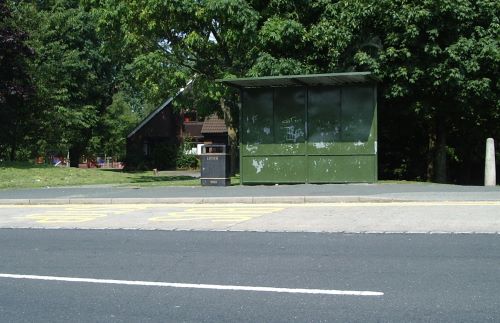
 A Bus Stop in Clayton Brook village Centre
Clayton Brook is served by many bus routes, including the frequent 125/126 service operated by Stagecoach between Preston and Bolton.
Housing
There is a good mix of residential properties. Approximately half the 4,000 plus properties are rented, with the landlord now being the housing association group Places for People. Clayton Brook was originally built in the late 1970s and early 1980s.
Amenities
It hosts several primary schools, including Clayton-Brook Primary School and St Bede's Primary School. There are two churches, one being St John's across from the village centre. The village centre is only 10 minutes walk from the large Asda supermarket in Clayton Green. The local wildlife preserve is Cuerden Valley Park (the grounds of Cuerden Hall) - and there are several public footpaths within the vicinity taking walkers to a variety of green destinations.
References
External links
 Media related to Clayton Brook at Wikimedia CommonsCategories:
- Villages in Lancashire
- Geography of Chorley
- Lancashire geography stubs

Wikimedia Foundation. 2010.