- Minbu
-
Minbu
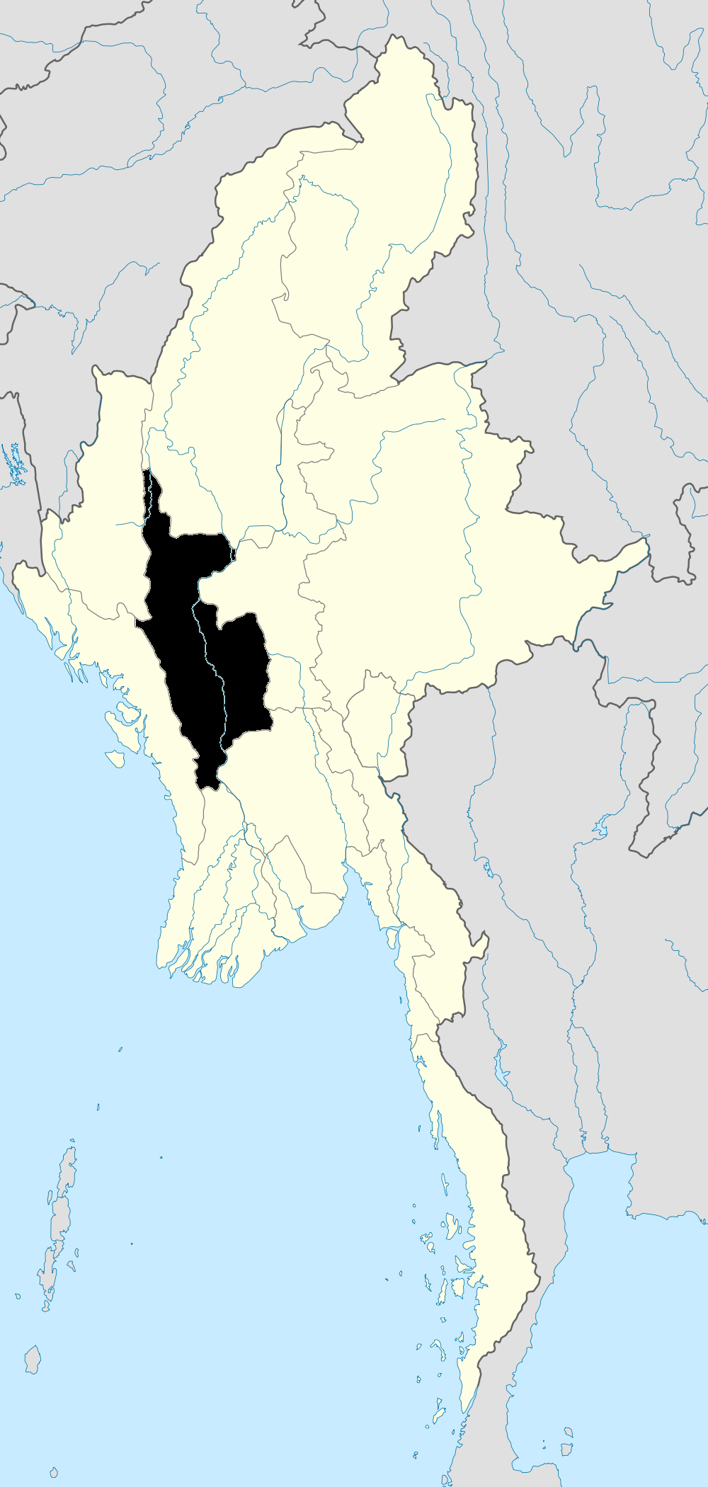
Burmese: မင်းဘူးLocation in Burma
 Minbu
MinbuCoordinates: 21°10′29.73″N 94°52′55.18″E / 21.174925°N 94.8819944°E Country  Burma
BurmaDivision Magway Division District Minbu District Township Minbu Township Government - Mayor Population (2005) - Religions Buddhism Time zone MST (UTC+6.30) Minbu (Burmese: မင်းဘူးမြို့) is a city in Magwe Division, Myanmar. As of 2004[update], the city has a population of 56,200. The area consists of low plain-land towards the Ayeyarwady River, and of undulating country inland rising higher and higher westwards towards the Arakan hills. Between the plain and the Arakan Yoma range is a distinct line of hills running north and south, and usually called the Nwa-Madaung hills. The submontane valleys are largely cultivated, but are deadly except to those born in them. The chief streams besides the Ayeyarwady are the Mn, the Maw, and the Salin, which are largely used for irrigation. At Minbu the Ayeyarwady is 3 miles wide, with many islands and sandbanks. There are considerable fisheries along the Ayeyarwady and on the Paunglin Lake, which is a lagoon fed from the Ayeyarwady. Oil has been discovered near the mud volcanoes of Minbu, but it seems to lie at too great a depth to be profitably worked.
There is a large area of reserved forest near Minbu. The chief crops raised are rice, gram, millet, beans, peas, sesamum and tobacco. The betel-vine is largely cultivated along the Mon River. The annual rainfall varies greatly in the area. It is very considerable on and under the Arakari Yomas, and very slight towards the Ayeyarwady. The thermometer rises to over 100 Fahrenheit in the hot months, and the mean of minimum in December is about 49 F.
Points of interest
Minbu Shwe Settaw
A pair of Buddha's footprints are located in Settawya, a forest retreat at 34 mile distant west of Minbu on the opposite bank of Magwe which is 331 miles from Yangon by road. The Footprints are well preserved and shrines were constructed nearly. The place is known as the Pagoda site of the forest. The pilgrimage is combined with flicking for young people as the scenery is picturesque with a full taste of natural atmosphere. One can go there also by Minbu- A Road following branches lane at 22 miles post. The site is on the river Man. The festival is held on the fifth waxing moon of the Myanmar calendar month, Tabodwe (February and March) annually. Many people from different parts of the country gather their and make meritorious deeps singly or collectively.
On the way from Minbu, the visitors can pay homage to Sandal wood Monastery at Legging where the Lord Buddha had visited in his lifetime. The history of that Footprint Pagoda dated back to the time of Buddha. Once the Lord Buddha came to that site in the country of Sunapranta. He met the Orahat Sicca Vanda and Naga Nammada on his way and on their humble request, the lord granted their reverence. The Foot points were enshrined ever since. The lower Footprint on the slat is under water during the monsoon months as the river Man is flooded. Therefore the festival is celebrated in the later winter months. Minbu is very hot at summer.
There are series of stalls marketing different things for the pilgrims and villagers nearly. The souvenirs can be bought there also.Minbu new market is very cheap to buy things. Shops are sell with wholesale price. A lot of motorcycles are going around in Minbu. People use motorcycle for their trasportation.
From Minbu, there is a road can transport to Rakhine State and you can go the most famous pagoda Kyaung Daw Yar(ေက်ာင္းေတာ္ရာ) pagoda.
In Minbu, there is a lot of crab and dried fish and dried pa zon(ပုဇြန္) you can buy. This is transport from Rakhine.
References
 This article incorporates text from a publication now in the public domain: Chisholm, Hugh, ed (1911). Encyclopædia Britannica (11th ed.). Cambridge University Press.
Coordinates: 20°10′47.99″N 94°52′12″E / 20.1799972°N 94.87°E
Magway Region Capital: Magway Magway District 

Minbu District Pakokku District Thayet District Aunglan Township · Kamma Township · Mindon Township · Minhla Township · Sinbaungwe Township · Thayet TownshipGangaw District Main cities and towns Categories:- Populated places in Magway Region
- Township capitals of Burma


Wikimedia Foundation. 2010.