- Japan National Route 1
-
National Route 1
国道1号 (Kokudō Ichi-gō) Route information Length: 565.4 km (351.3 mi) Major junctions East end: 
 Route 15 / Route 17 in Nihonbashi, Chūō, Tokyo
 Route 42
 Route 255
 Route 134
 Route 129
 Route 467

 Route 16 / Route 133
West end: 
 Route 2 / Route 176 in Umeda, Kita-ku, Osaka
Highway system 

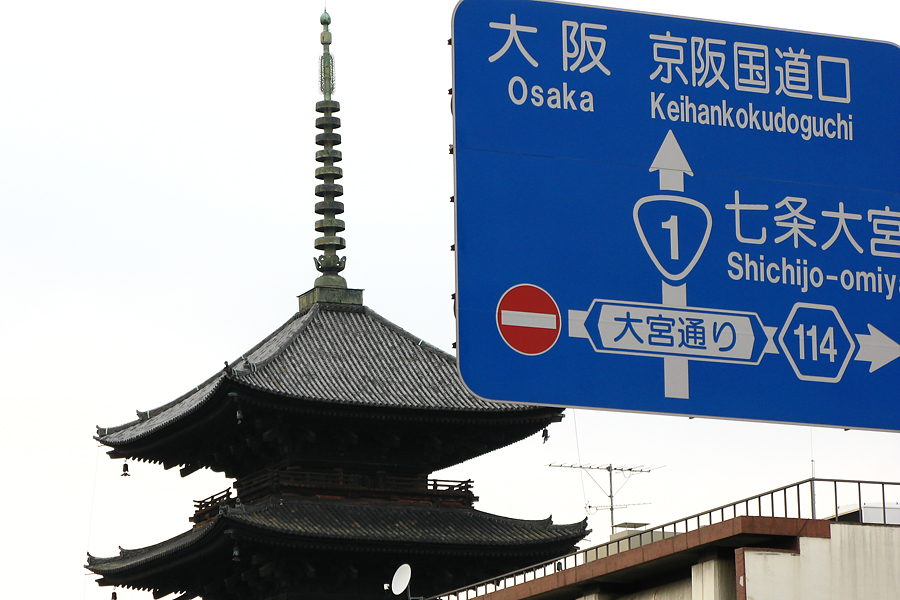
 Western terminus of Route 1 in Umeda

National Route 1 is a major highway on the island of Honshū in Japan. It connects Chūō, Tokyo in the Kantō region with the city of Osaka, Osaka Prefecture in the Kansai region, passing through the Chūbu region en route. It follows the old Tōkaidō westward from Tokyo to Kyoto, and the old Kyo Kaidō from there to Osaka. Between Tokyo and Aichi Prefecture it parallels the Tomei Expressway; from there to Mie Prefecture, the Higashimeihan Expressway, and from Shiga Prefecture to Osaka, the Meishin Expressway. Its total length is 565.4 km. At its eastern terminus in Nihonbashi, Chūō, Tokyo, it meets National Routes 4, 6, 14, 15, 17, and 20. At its western terminus in Umeda, Kita-ku, Osaka, it links with Routes 2, 25, 26 and other highways.
Route 1 links Tokyo to the important prefectural capitals of Yokohama (Kanagawa Prefecture), Shizuoka, Nagoya (Aichi Prefecture), Otsu (Shiga Prefecture), Kyoto, and Osaka.[1][2]
Contents
Route Data
- Length: 565.4 kilometres (351.3 mi)
- Origin: Nihonbashi, Chūō, Tokyo (originates at the origins of Routes 4, 6, 14, 15, 17 and 20)
- Terminus: Umeda, Kita-ku, Osaka (ends at the origins of Routes 2, 26, 163 and 165 and the terminus of Routes 25 and 176)
- Major cities: Kawasaki, Yokohama, Odawara, Numazu, Shizuoka, Hamamatsu, Nagoya, Yokkaichi, Otsu, Kyoto
History
- 4 December 1952: First Class National Highway 1 (from Tokyo to Osaka)
- 1 April 1965: General National Highway 1 (from Tokyo to Osaka)
Overlapping sections
- In Chuo: Route 15
- From the origin to Chiyoda (Sakuradamon intersection): Route 20
- In Yokohama City, from Takashima-cho intersection to Hamamatsucho intersection: Route 16
- From Odawara City to Hakone Town (Miyanoshita intersection): Route 138
- From Hamamatsu City (Shinohara intersection) to Kosai City (Okurado IC): Route 42
Intersects with
See also
- Gokishichidō, the ancient highways of Japan
References
- ^ "一般国道1号". Kinki Regional Development Bureau, Ministry of Land, Infrastructure, Transport and Tourism. http://www.kkr.mlit.go.jp/road/time/r001a.html. Retrieved 2010-11-26.(Japanese)
- ^ "一般国道1号". Kinki Regional Development Bureau, Ministry of Land, Infrastructure, Transport and Tourism. http://www.kkr.mlit.go.jp/road/time/r001b.html. Retrieved 2010-11-26.(Japanese)
Categories:- National highways in Japan


Wikimedia Foundation. 2010.