- Denistone, New South Wales
-
Denistone
Sydney, New South Wales
Gordon Crescent, Denistone railway stationPopulation: 3,435 Postcode: 2114 Location: 16 km (10 mi) north-west of Sydney CBD LGA: City of Ryde State District: Ryde Federal Division: Bennelong Suburbs around Denistone: Eastwood Eastwood Eastwood Denistone West Denistone Denistone East West Ryde West Ryde West Ryde Denistone is a suburb in the Northern Suburbs of Sydney, in the state of New South Wales, Australia. Denistone is located 16 kilometres north-west of the Sydney central business district in the local government area of the City of Ryde. Denistone West and Denistone East are separate suburbs.
Contents
History
Denistone is derived from the name of a home built in the area called Dennistone.
The Wallumedegal Aboriginal tribe lived in the area between the Lane Cove River and Parramatta River, which was known as Walumetta. Gregory Blaxland, a free settler, purchased the 450-acre (1.8 km2) Brush Farm estate in 1806, shortly after his arrival in the colony. This estate covered most of the area south from Terry Road to Victoria Road and Tramway Street, and east from Brush Road to Shaftsbury Road. In 1829 Blaxland transferred Brush Farm Estate to his eldest daughter, Elizabeth, and her husband Dr Thomas Forster. Forster expanded the estate by purchasing the Porteous Mount grants of 120 acres (0.5 km2) on the Denistone ridge in 1830. Denistone was named after Forster's home "Dennistone", burnt down by bushfires in 1855. Richard Rouse Terry acquired the land from the Blaxlands in 1872 where he rebuilt Denistone House, now within the grounds of Ryde Hospital. The Denistone estate, centered on Denistone House, was a late subdivision, not opened up for sale until 1913.[1]. Another historic house in Denistone is The Hermitage which was built by Gregory Blaxland's son, John Blaxland in about 1842.
Transport
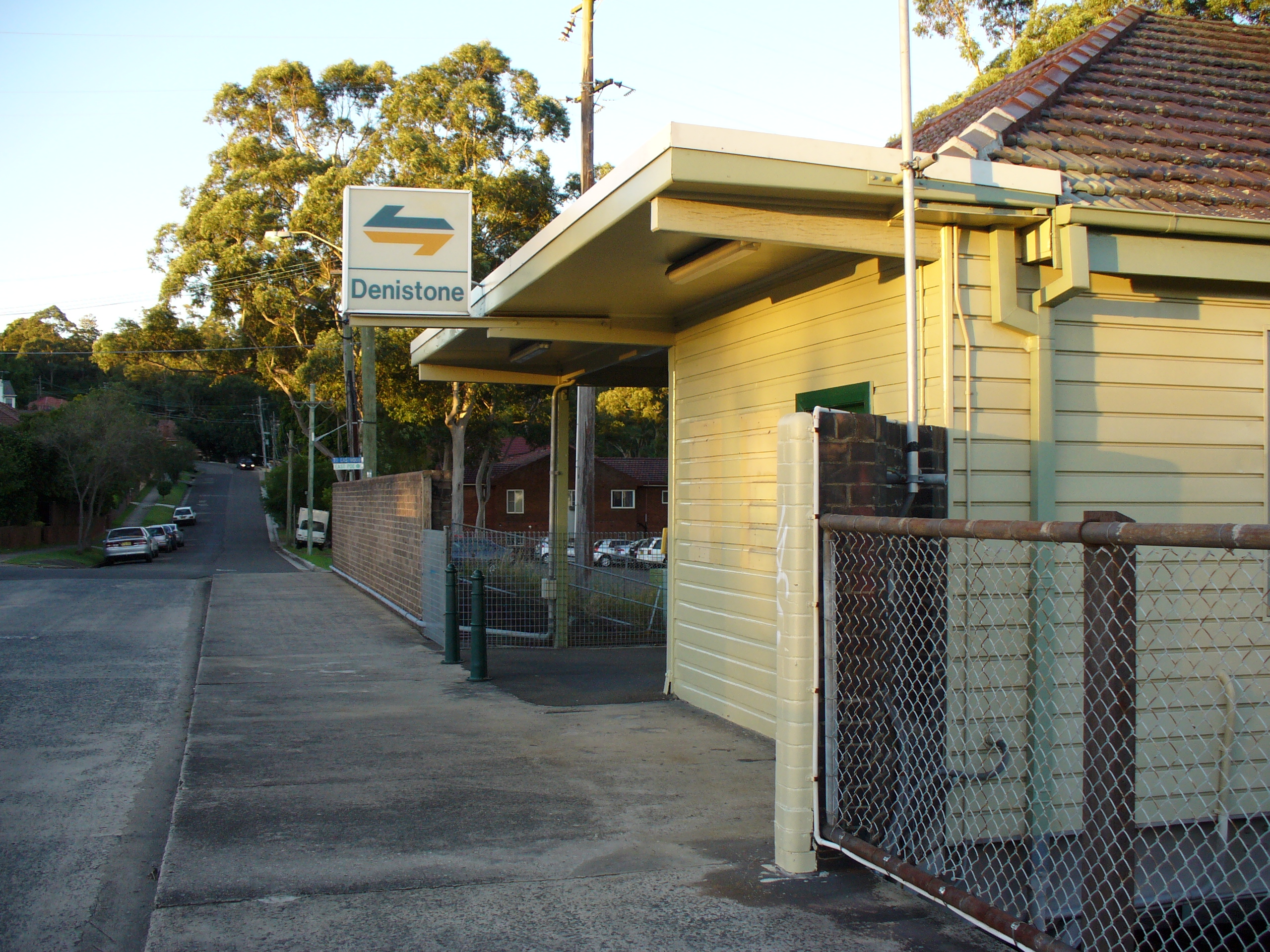
Denistone railway station is on the Northern railway line of Sydney's City Rail network. Denistone is predominantly residential, free of an expedient commercial hub. Its centre is considered to be the railway station, which was built in 1937, extending to Darvall Park.
Politics
Denistone sits in the state electorate of Ryde whose member is Victor Dominello, and the Federal electorate of Bennelong whose member is John Alexander.
Parks
Darvall Park is a forest reserve near the railway line at Denistone. Flora includes Sydney Blue Gum, Red Olive Berry, Orange Bark, Waddy wood and Forest Nightshade. Despite over thirty years of bush regeneration, large areas of Darvall Park are heavily infested with weeds. Privet, Chinese Privet, Lantana, Madeira Vine, Taro and Trad. The Ring Tail Possum, Australian King Parrot and Satin Bowerbird are sometimes seen here.
References
- ^ The Book of Sydney Suburbs, Compiled by Frances Pollen, Angus & Robertson Publishers, 1990, Published in Australia ISBN 0-207-14495-8, page 83
Suburbs of the City of Ryde · Northern Suburbs · Sydney Denistone · Denistone East · Denistone West · East Ryde · Eastwood · Gladesville · Macquarie Park · Marsfield · Meadowbank · Melrose Park · North Ryde · Putney · Ryde · Tennyson Point · West Ryde
Coordinates: 33°48′03″S 151°05′11″E / 33.80085°S 151.08648°E
Categories:- Suburbs of Sydney
- Sydney geography stubs
Wikimedia Foundation. 2010.