- Putney, New South Wales
Infobox Australian Place | type = suburb
name = Putney
city = Sydney
state = New South Wales
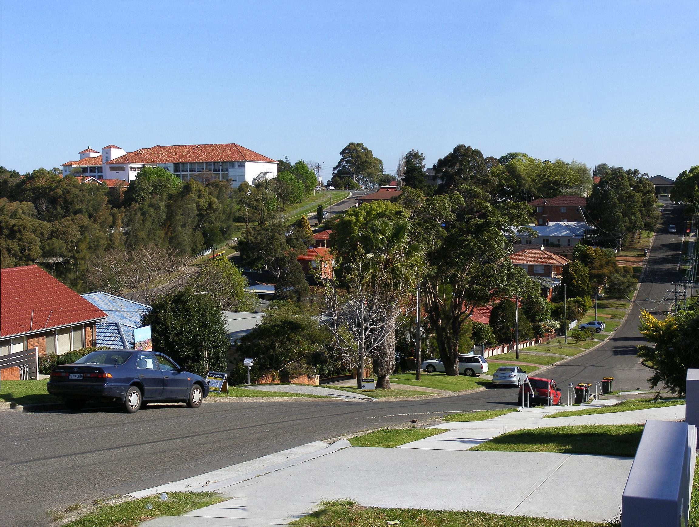
caption = A panoramic view of Putney
lga =City of Ryde
postcode = 2112
pop = 9000 (2001 census)
area =
propval = [http://www.domain.com.au/Public/SuburbReport.aspx?searchTerm=2112&mode=+%24257%2C000 $965,000]
stategov = Lane Cove, Ryde
fedgov = Bennelong
near-nw = West Ryde
near-n = Ryde
near-ne = Gladesville
near-w = Meadowbank
near-e = Tennyson Point
near-sw = Rhodes
near-s = Mortlake
near-se = Breakfast Point
dist1 = 16
dir1 = west
location1=Sydney CBD Putney is a
suburb on the Lower North Shore ofSydney , in the state ofNew South Wales ,Australia . Putney is located 16kilometres west of theSydney central business district , in the local government area of theCity of Ryde . Putney sits on the northern bank of theParramatta River andshares the postcode of 2112 with Ryde.Putney is centrally located in the Sydney metropolitan area, approximately 10 to 15 km away from major business districts of Sydney, Chatswood, North Sydney, Paramatta, Strathfield.
History
The suburb's name is derived from its namesake
Putney , by the banks of theThames inLondon .Parramatta River had been known as the 'Thames of theAntipodes ' and other nearby suburbs were also named after Thames localities ofGreenwich ,Woolwich andHenley . [ "The Book of Sydney Suburbs", Compiled by Frances Pollen, Angus & Robertson Publishers, 1990, Published in Australia ISBN 0-207-14495-8 ]Transport
Two
Sydney Buses routes pass through here, the 537 and the 507 which go to the City andMacquarie University . Also close by isMeadowbank train station.Kissing Point ferry wharf provides access to the Parramatta River ferry services, with 20 minute
ferry services toCircular Quay .Landmarks
Putney's facilities include a primary school, post office, sporting fields, parks, a shopping area and a few restaurants. Putney is also home to St Chad's Anglican Church, which was founded in 1912 and whose building is of historical significance. A public swimming pool is close by at Ryde Recreation & Leisure centre.
Notable residents
* Former world
snooker champion Edvart Arthar.
*Max Duncan 1986 Harvard University DUX for ChemistyReferences
External links
Wikimedia Foundation. 2010.