Denistone West, New South Wales

Denistone West, New South Wales
Denistone West
SydneyNew South Wales
West Denistone Park.JPG
West Denistone Park
Population: 757
Postcode: 2114
Location: 16 km (10 mi) north-west of Sydney CBD
LGA: City of Ryde
State District: Ryde
Federal Division: Bennelong
Suburbs around Denistone West:
Eastwood Eastwood Marsfield
West Ryde Denistone West Denistone
West Ryde West Ryde West Ryde

Denistone West is a suburb in the Northern Suburbs of Sydney, in the state of New South Wales, Australia. Denistone West is located 16 kilometres north-west of the Sydney central business district in the local government area of the City of Ryde. Denistone and Denistone East are separate suburbs.
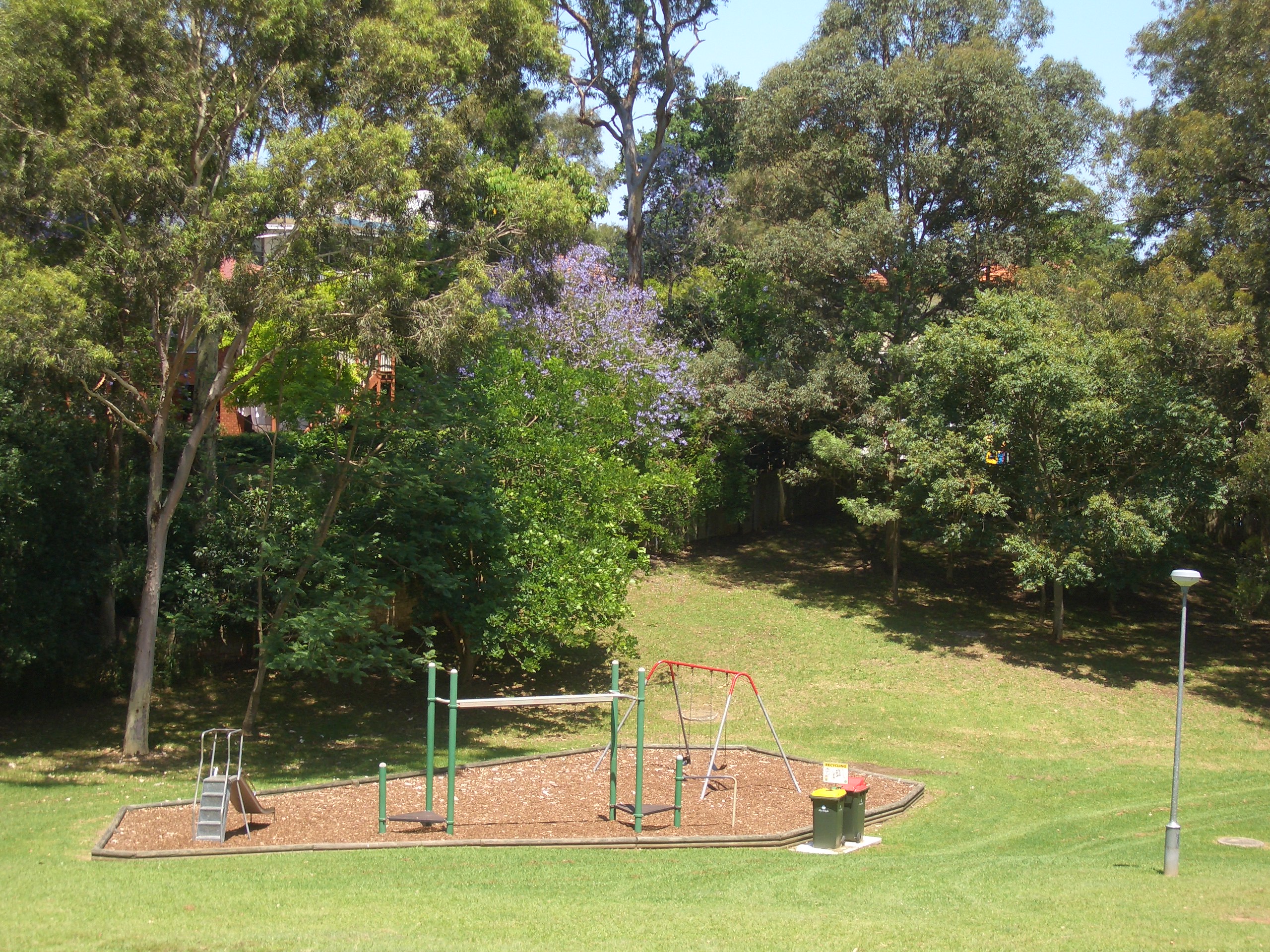
Parks

West Denistone Park, Lions Park, Lynn Park, Rutherford Park

Commercial

The commercial and retail hub of West Denistone is the West Denistone Shopping Centre.

Transport

Denistone railway station is in the adjacent suburb of Denistone. Plans to build a high speed monorail link from Denistone Station to West Denistone Shopping Centre (with stations at West Ryde Bowling Club and West Denistone Park), were postponed by the NSW Government in 2009, while further studies were undertaken into the environmental impact on Darvall Park.

Coordinates: 33°48′03″S 151°04′50″E / 33.80085°S 151.08048°E / -33.80085; 151.08048


Wikimedia Foundation. 2010.

Игры ⚽ Нужно сделать НИР?

Look at other dictionaries:

  • Denistone East, New South Wales — Denistone East Sydney, New South Wales Population: 2,032 Postcode: 2112 Location …   Wikipedia

  • Denistone, New South Wales — Denistone Sydney, New South Wales Gordon Crescent, Denistone railway station Population …   Wikipedia

  • West Ryde, New South Wales — Infobox Australian Place | type = suburb name = West Ryde city = Sydney state = nsw caption = West Ryde railway station and bus interchange lga = City of Ryde postcode = 2114 est = pop area = propval = fedgov = Bennelong stategov = Ryde near nw …   Wikipedia

  • Main North railway line, New South Wales — For other railways called Main North Line, see Main North Line. For other railways called Great Northern, see Great Northern Railway. [v · d · …   Wikipedia

  • North Ryde, New South Wales — North Ryde Sydney, New South Wales North Ryde Public School, established in 1877 Population …   Wikipedia

  • Melrose Park, New South Wales — Melrose Park Sydney, New South Wales Parramatta River, Melrose Park …   Wikipedia

  • Eastwood, New South Wales — Infobox Australian Place | type = suburb name = Eastwood city = Sydney state = New South Wales caption = Fountain in Rowe Street mall lga = City of Parramatta, City of Ryde postcode = 2122 pop = formatnum:14428 pop footnotes = Census 2006… …   Wikipedia

  • Meadowbank, New South Wales — Meadowbank Sydney, New South Wales Meadowbank railway shops and outdoor eating area …   Wikipedia

  • Marsfield, New South Wales — Marsfield Sydney, New South Wales Curzon Hall, Agincourt Road Population …   Wikipedia

  • Gladesville, New South Wales — Gladesville Sydney, New South Wales Bedlam Point, Gladesville Population …   Wikipedia

Share the article and excerpts

Direct link
Do a right-click on the link above
and select “Copy Link”