- Cozumel
-
Cozumel Native name: Cuzamil
Nickname: Cuzamil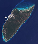
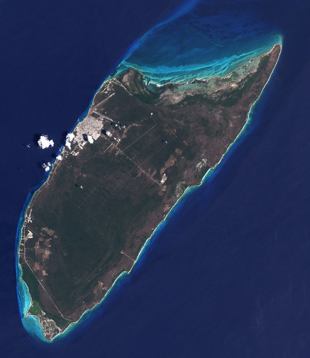
Satellite image of Cozumel Island in 2001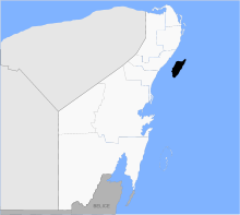
Geography Location Caribbean Sea Coordinates 20°25′N 86°55′W / 20.417°N 86.917°WCoordinates: 20°25′N 86°55′W / 20.417°N 86.917°W Total islands 2 Area 647.33 km2 (249.936 sq mi) Highest point 14 Country MexicoState Quintana Roo Municipios (Municipality) Cozumel Largest city San Miguel de Cozumel (pop. 77236) Presidente municipal (Municipal president) Juan Carlos González Hernández (PRI) Demographics Population 100.000 (as of 2011) Density 113.07 /km2 (292.85 /sq mi) Ethnic groups Maya Additional information Official website Government website Time zone UTC –6 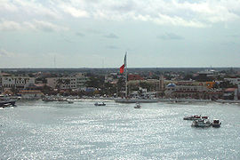 Aerial view of San Miguel de Cozumel
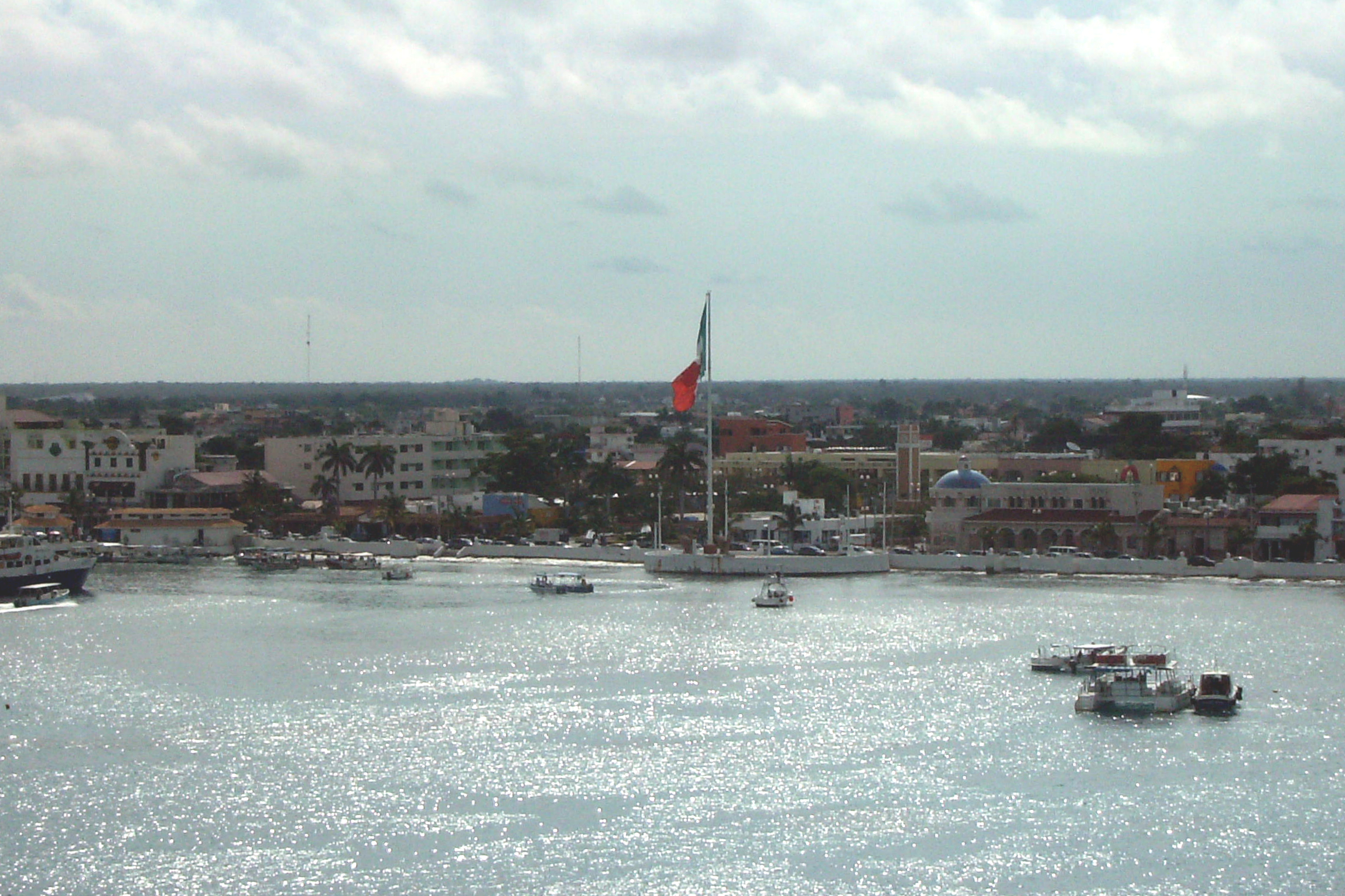
Cozumel (Mayan: Island of the Swallows) (Kùutsmil in Modern Maya) is an island in the Caribbean Sea off the eastern coast of Mexico's Yucatan Peninsula, opposite Playa del Carmen, and close to the Yucatan Channel. Cozumel is one of the ten municipalities (municipios) of the state of Quintana Roo. Cozumel is a tourist destination for its balnearios, scuba diving, and snorkeling. The main town on the island is San Miguel de Cozumel.
Contents
Geography
The island is about 48 km (30 mi) long and 16 km (9.9 mi) wide, and is Mexico's largest caribbean island.[citation needed] It is Mexico's third-largest island, following Tiburón Island and Isla Ángel de la Guarda.[citation needed] It lies some 10 km (6.2 mi) from the mainland, and 90 km (56 mi) south of Cancún.
The vast majority of the population of Cozumel lives in the town of San Miguel (pop. 100,000 in 2011),[1] which is on the island's western shore. The municipality, which includes two small areas on the mainland enclaved within the Municipality of Solidaridad with a land area of 10.423 km² (4.024 sq mi), has a total land area of 647.33 km² (249.93 sq mi).[2]
The Land area is covered with a impenetrable jungle which has many endemic animal species. Cozumel island, including offshore islets, has a land area of 477.961 km2 (184.542 sq mi). The two areas that are on the mainland are the Calica limestone quarry, near Playa del Carmen and Xcaret, and the Xel-Há Water Park, near the Xelha archaeological ruins.[3]
Geology
Cozumel is a flat island based on limestone, resulting in a karst topography. The highest natural point on the island is less than 15 m (49 ft) above sea level. The cenotes are deep water filled sinkholes formed by water percolating through the soft limestone soil during thousands of years. Cozumel's cenotes have very restricted access available only to qualified cave divers with appropriate registration. In the early 1990s, a group of cave explorers here discovered the 5th largest underwater cave in the world. Since the population reached 100,000 peoples most of the cavern in town and neighborhood are used for rinse water disposal.
History
The Maya are believed to have first settled Cozumel by the early part of the 1st millennium AD, and older Preclassic Olmec artifacts have been found on the island as well.[4] The island was sacred to Ix Chel, the Maya Moon Goddess, and the temples here were a place of pilgrimage, especially by women desiring fertility.[4][5] There are a number of ruins on the island, most from the Post-Classic period. The largest Maya ruins on the island were bulldozed to make way for an airplane runway during World War II.[6] The ruins of San Gervasio are located approximately at the center of the island and are the largest remaining ruins.
The first Spanish visitor was Juan de Grijalva in 1518, and in the following year Hernán Cortés came with a fleet and destroyed many Maya temples.[4] Some 40,000 Mayans lived on the island then, but the smallpox disease devastated them, and by 1570 only 30 were left alive.[4] In the ensuing years Cozumel was nearly deserted, just used as a hideout by pirates from time to time. In 1848, the Caste War of Yucatán resulted in resettlement by refugees escaping the tumult. A plaque at the Museo Cozumel states that Abraham Lincoln, an American president, came close to purchasing the island of Cozumel as a place to send the freed slaves. The continued war in the Yucatan caused him to change his mind.[4]
Late 20th century
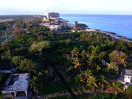
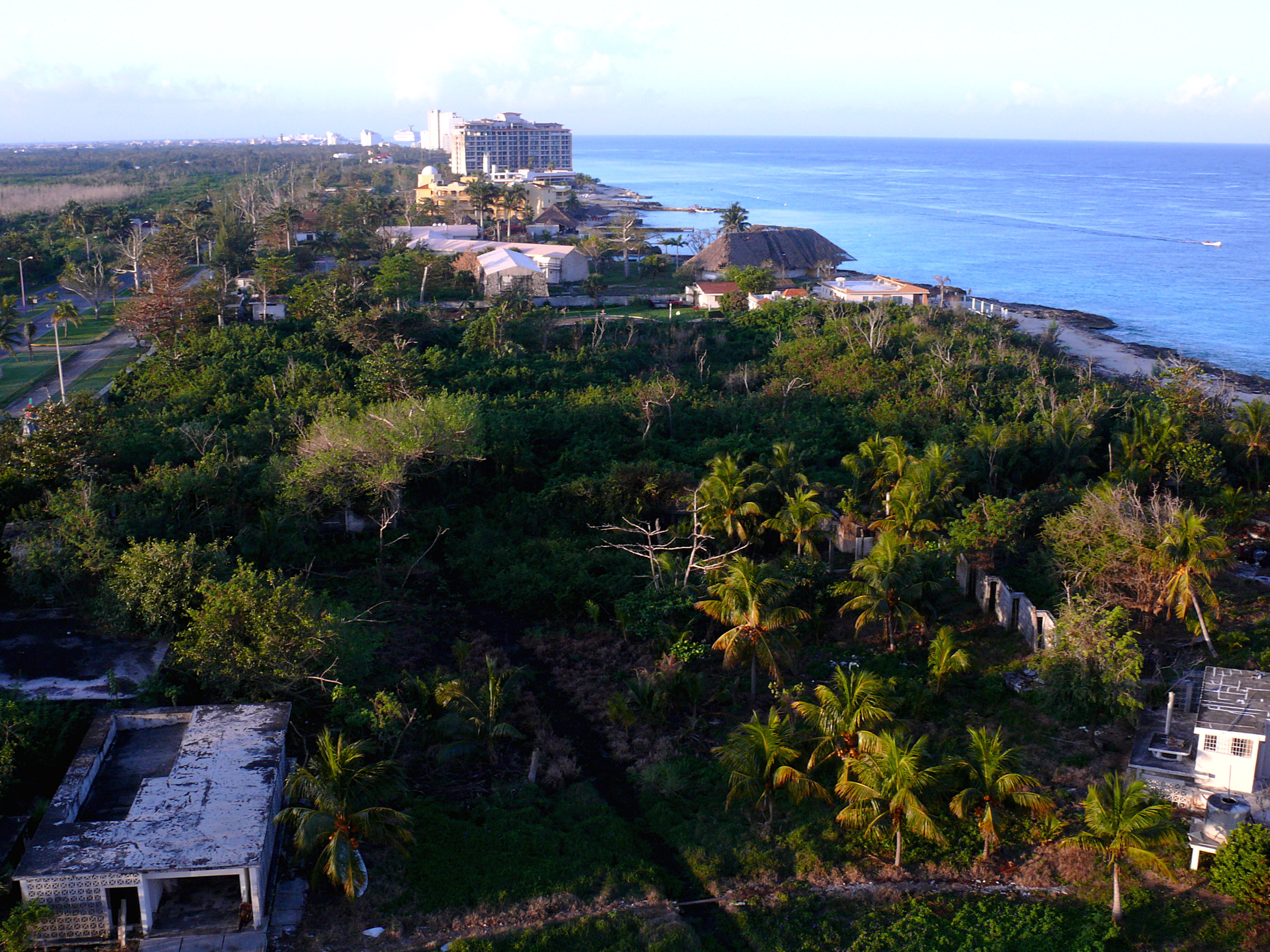
Looking south towards San Miguel. In 1960, Jacques Cousteau was introduced by locals to the extent and beauty of Palancar Reef, the coral reefs at the south of Cozumel and publicized it as one of the best places to go scuba diving in the world,[7] although this reputation has been marred as a result of the controversial death of British singer Kirsty MacColl whilst diving there in 2000.[citation needed]
Although the original airport was a World War II relic and was able to handle jet aircraft and international flights, a much larger airport was built in the late 1970s. This resulted in much greater tourism to Cozumel.
Scuba diving is still one of Cozumel's primary attractions, mainly due to the healthy coral reef marine communities. These coral reefs are protected from the open ocean by the island's natural geography. In 1996, the government of Mexico also established the Cozumel Reefs National Marine Park, forbidding anyone from touching or removing any marine life within the park boundaries.[8] Despite the importance of healthy reefs to Cozumel's tourist trade, a deepwater pier was built in the 1990s for cruise ships to dock, causing damage to the reefs, and it is now a regular stop on cruises in the Caribbean.
2005 Hurricane Season
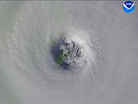 Cozumel seen through the eye of Hurricane Wilma.
The island was struck directly by two Category 4 hurricanes during the 2005 Atlantic hurricane season. First to arrive was Hurricane Emily in July. Despite Emily being a powerful storm, it was the slower moving Hurricane Wilma that caused the most destruction when it hit the island in October.[9] There was some damage to the underwater marine habitat. This included the coral reefs, which suffered particularly at the shallower dive sites, and the fish that inhabit the reefs.[10][11]
Industry
Diving and charter fishing comprise nearly all sources of income[citation needed]. There are more than 300 restaurants on the island[12] and many hotels, some of which run dive operations, have swimming pools, private docks, and multiple dining facilities.
Other water activities include para-sailing, kitesurfing, and a tourist submarine. There are also two dolphinariums.
At the cruise ship docks there are several square blocks of stores selling Cuban cigars, jewellery, t-shirts, tequila, and a large variety of inexpensive souvenirs. There are a very large number of restaurants in San Miguel that have a huge variety of different cuisines. In down town Cozumel are several discotheks, bars, cinemas, stages and restaurants. The main plaza includes a fixed stage where Cozumelenians and Tourists celebrating the Sunday evening with a dance in to the night.
In January 2009 a Chabad House was opened near the main avenue to cater to the small permanent Jewish community on the island as well as the thousands of Jewish tourists that visit the island each year. The Chabad House and synagogue is located on Calle 12 between Rafael Melgar and 5th Avenue. The Chabad House also runs a Glatt Kosher restaurant located 1 block away from the synagogue. In September 2010, the construction of a mikve began and is expected to be completed in early 2011, making it the first kosher mikve in the state of Q.Roo.[13]
All food and manufactured supplies are shipped to the island. Water is provided by three different desalinization facility located on the island.
Education
There are two universities on the island: the University of Quintana Roo and Partenon. In addition to teaching English as a degree, they offer five other career options including natural resources research, tourism and commercial systems.
Government
Cozumel is part of the State of Quintana Roo (Q-Roo). The Municipality of Cozumel consists of the island of Cozumel (with its offshore islets) and two pieces of adjacent mainland surrounded by the Municipality of Solidaridad. They are Calica and the Xel-Há Water Park.[3] During the 2010 census there were 122 populated localities and 86 unpopulated localities enumerated.
Towns and villages
The largest localities (cities, towns, and villages) are:[1]
Name 2010 Census Population San Miguel de Cozumel 77,236 Las Fincas 746 Kilómetro Cuatro y Medio 211 La Estrella 154 San Lorenzo 134 La Esperanza 115 Huerto Familiar 104 Villa Cozumel 75 Las Palmeras 72 Iberostar 52 Dos Arbolitos 44 San Carlos 34 Total Municipality 79,535 Culture
Festival of El Cedral in Cozumel
To this day a historic festival is held in the small town of El Cedral, in the south of Cozumel Island at the end of April. This annual event is said to have been started over 150 years ago by Casimiro Cárdenas.
Cárdenas was one of a group that fled to the island from the village of Saban, on the mainland, after an attack during the War of the Castes. The attackers killed many other villagers, but Cárdenas survived whilst clutching a small wooden cross.
Legend has it that Cárdenas vowed to start an annual festival wherever he settled, to honor the religious power of this crucifix. Today, the original Holy Cross Festival forms part of the wider Festival of El Cedral, which includes fairs, traditional feasts, rodeos, bullfights, music and competitions. The celebrations last about 5 days in all and are held every year at the end of April or beginning of May.[14]

Looking north from the top of the Punta Sur lighthouse. Natural history
Cozumel has a number of endemic species and subspecies of bird including:
- the Cozumel Thrasher, which is nearly, if not already, extinct.
- the Cozumel Vireo.
- the Cozumel Wren.
- the Cozumel Great Curassow, which is highly endangered.
- the Cozumel Emerald
Endemic dwarf mammals are found on the island:
- the Cozumel Island Raccoon, which is critically endangered.[15][16]
- the Cozumel Island Coati, which is endangered.
- the Cozumel Fox, which is nearly, if not already, extinct.
The island also harbors three rodents that are larger than their mainland counterpart: Oryzomys couesi, Peromyscus leucopus, and critically endangered Reithrodontomys spectabilis, the latter of which is also endemic to the island.
Endemic marine life:
Other native wildlife includes:
- the American crocodile[17]
- the Black Spiny-tailed Iguana[18]
- the Blue Land Crab (Cardisoma guanhumi)[19]
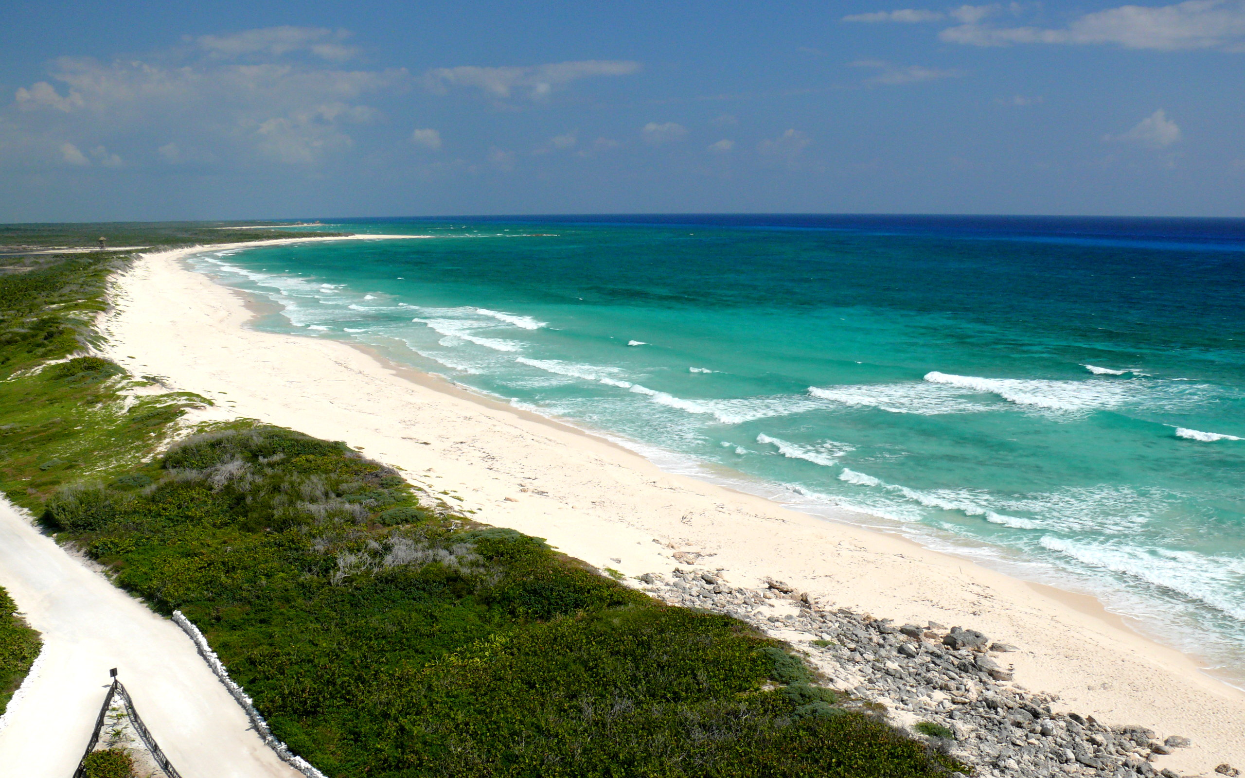
Photo gallery
-
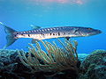
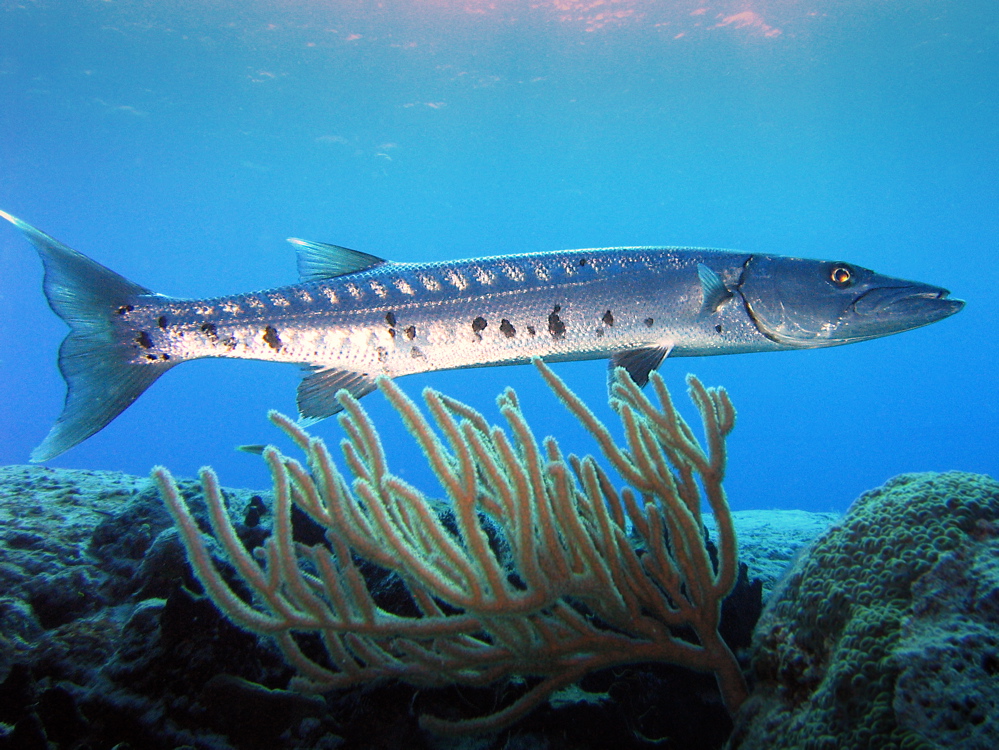
Barracuda at Paradise Reef.
-
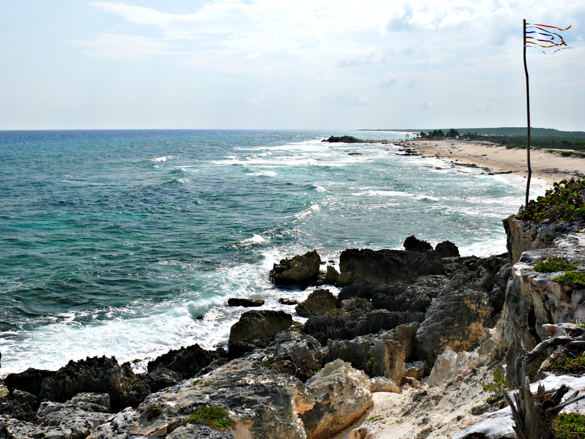
Windward shoreline at Coconuts Bar & Grill.
-
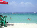
Swimmers at the beach.
-

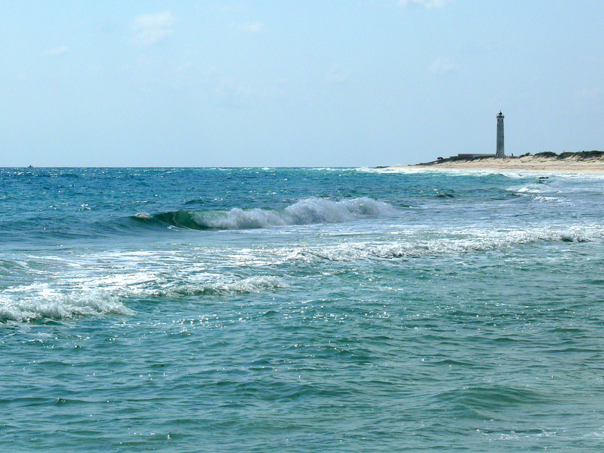
Punta Sur lighthouse.
-
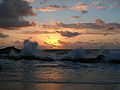
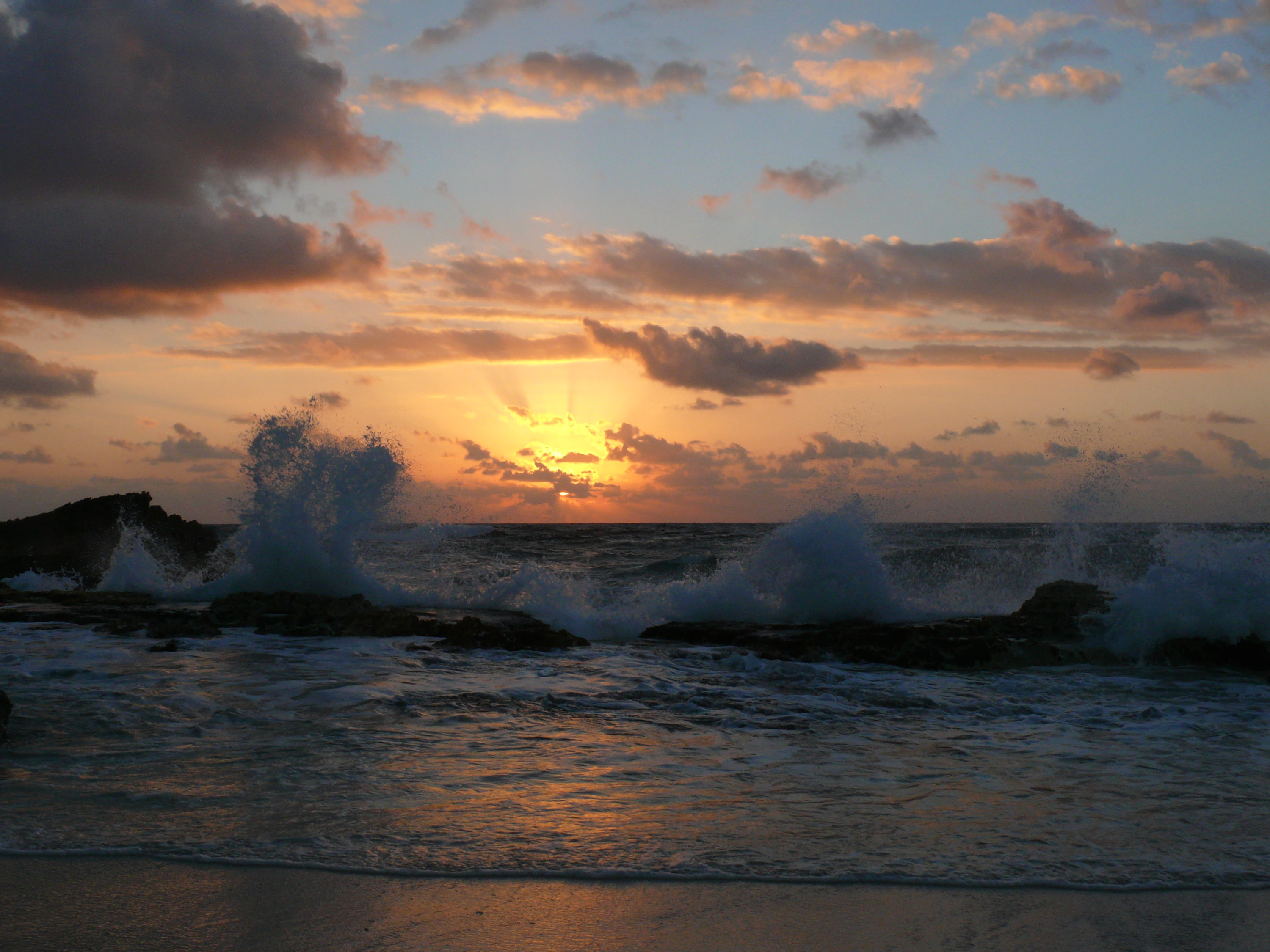
Sunrise over the windward shore.
-
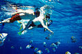
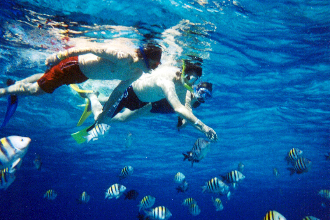
Snorkelers swim with fish.
-

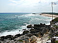
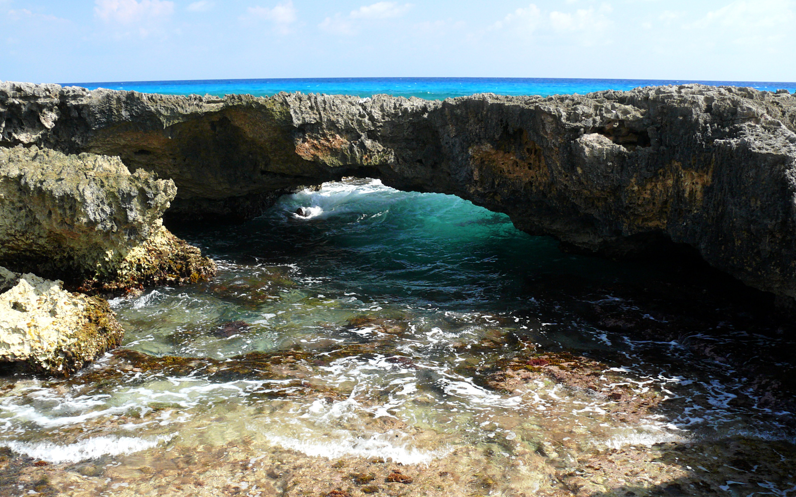
Tidal pool and reef.
-
Cruise ships docked at the port in San Miguel.
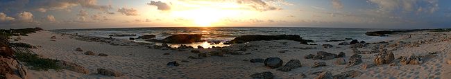
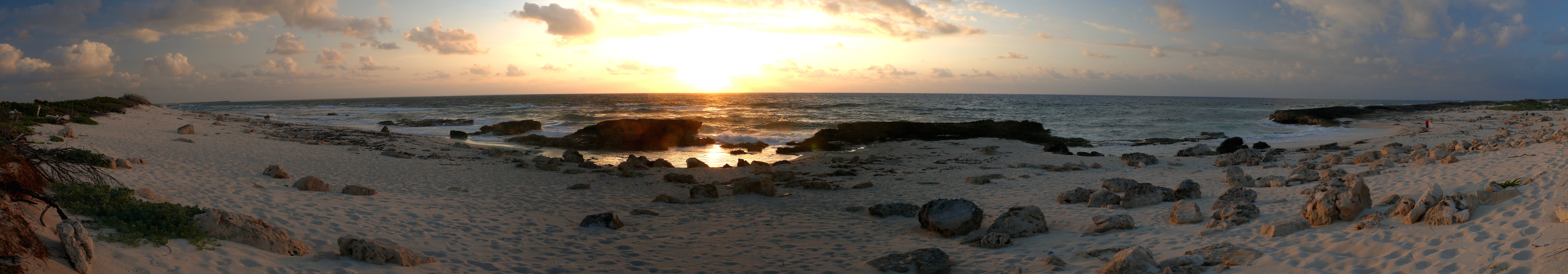
Panoramic view of a Cozumel sunrise. References
- ^ a b 2010 census tables: INEGI
- ^ "Land area of islands in Mexico: INEGI". http://mapserver.inegi.gob.mx/geografia/espanol/datosgeogra/extterri/frontera.cfm?c=920%20&i=e. Retrieved 2009-11-01.
- ^ a b "Enciclopedia de los Municipios de México". http://www.inafed.gob.mx/work/templates/enciclo/qroo/. Retrieved 2009-11-01.
- ^ a b c d e "Cozumel history". http://www.islacozumel.com.mx/eng/dest-history.asp.
- ^ Paxton, Merideth. The cosmos of the Yucatec Maya: cycles and steps from the Madrid Codex. UNM Press, 2001, pg. 135.
- ^ "El Cedral ruins Cozumel". cozumel-tours.com. http://www.cozumel-tours.com/el-cedral.htm. Retrieved 9 October 2010.
- ^ Diving at Palancar Reef, Cozumel Mexico
- ^ Cozumel An Island Paradise - 'Vistas De Cozumel'
- ^ "Cozumel rebounds from Hurricane Wilma: Coleman, Michael". http://marcoislandflorida.com/articles/2007/04/09/import/20070409-archive6.txt. Retrieved 2009-11-01.
- ^ Species Richness and Community Structure of the Yucatan Marine Reserve Before and After 2005 Hurricane Season
- ^ Cozumel Reef Conditions Update – 2007
- ^ "restaurants in Cozumel". http://www.cozumelrestaurantguide.com.
- ^ "Chabad of Cozumel". http://www.chabadcozumel.com. Retrieved 9 October 2010.
- ^ "This is Cozumel". http://thisiscozumel.com/content/view/239/42/. Retrieved 2009-11-01.
- ^ K. McFadden, D. Vasco, A. Cuaron, D. Valenzuela and M. Gompper. 2009. Conservation and population assessment of the endangered dwarf carnivores from Cozumel Island. Biodiversity and Conservation 13:317–331
- ^ "This is Cozumel". http://thisiscozumel.com/content/view/1116/2/. Retrieved 2011-03-31.
- ^ "This is Cozumel". http://thisiscozumel.com/content/view/973/2/. Retrieved 2010-05-12.
- ^ "This is Cozumel". http://thisiscozumel.com/content/view/741/2/. Retrieved 2010-05-12.
- ^ "This is Cozumel". http://thisiscozumel.com/content/view/1178/2/. Retrieved 2011-08-27.
External links
- Cozumel at the Open Directory Project
- Cozumel travel guide from Wikitravel
- Cozumel Parks and Museums official site for the Quintana Roo State Foundation that manages Chankanaab Park, Punta Sur, San Gervasio and the Island Museum
- Cozumel travel information independent destination website about Cozumel Island offering tourist information including: things to do, places to stay and news.
 State of Quintana RooChetumal (capital)
Municipalities (seats) Bacalar (Bacalar) · Cozumel (San Miguel de Cozumel) · Felipe Carrillo Puerto (Felipe Carrillo Puerto) · Isla Mujeres (Isla Mujeres) · Othón P. Blanco (Chetumal) · Benito Juárez (Cancún) · José María Morelos (José María Morelos) · Lázaro Cárdenas (Kantunilkín) · Solidaridad (Playa del Carmen) · Tulum (Tulum)

Places of interest Akumal · Arrecifes de Cozumel National Park · Banco Chinchorro · Chacchoben · Coba · Isla Contoy · Isla Holbox · Kohunlich · Mahahual · Muyil · Puerto Morelos · Punta Allen · Punta Sur · Riviera Maya · San Gervasio · Sian Ka'an · Tulum · Xcalak · Xcaret · Xelha · Yo'okop
Categories:- Cozumel
- Port settlements in Mexico
- Port cities in the Caribbean
- Geography of Mesoamerica
- Islands of Quintana Roo
- Municipalities of Quintana Roo
- Underwater diving sites
- Tourism in Mexico


Wikimedia Foundation. 2010.