- Dease Lake, British Columbia
-
- This article is about the community. For the lake see Dease Lake (British Columbia).

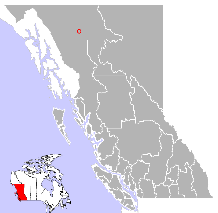
Dease Lake (pronounced /ˈdiːs/) is a small community located in the Cassiar Country of the Northern Interior of British Columbia, Canada. Located only a few hours south of the Yukon border, it is located on Highway 37 at the south end of the lake of the same name. Dease Lake is the last major centre before the Alaska Highway, and also the junction to Telegraph Creek and the Grand Canyon of the Stikine. Dease Lake Indian Reserve No. 9 is located nearby and is under the governance of the Tahltan First Nation band government.
The town sits astride a pass separating the basins of the Dease River (N) from that of the Tanzilla (S), a tributary of the Stikine. The pass is part of Continental Divide and is a division point between drainage to the Pacific Ocean, via the Stikine, and the Arctic Ocean, via the Liard and Mackenzie Rivers.
Partly due to the closing of the asbestos mine in Cassiar, Dease Lake's population continues to grow. The town has a school, various stores, fuel and service stations, hotels, a restaurant, a Northern Lights College campus, and local pub. The town sees a large influx of visitors during the summer months from tourists on their way to the Alaska Highway. A majority of these tourists are from Canada or the United States. Dease Lake is also a destination for hunting and other wilderness activities.
Contents
History
In 1837 a Hudson's Bay Company post, known as Lake House, was created by Robert Campbell on the shore of Dease Lake about 50 km North of the Stikine River and 150 km south of where the present day Alaska Highway passes. The Lake had been named in 1834 for Chief Factor Peter Warren Dease, and would become a major junction for miners traveling to the gold rush in Cassiar (later an asbestos mine). Although the fort was abandoned soon after, the town based around the fort lived on, and was renamed Dease Lake in 1934 by then-Chief Trader John McLeod.
During the 1960s and 1970s, BC Rail started to build an extension of their line towards Dease Lake, but construction was halted. Grading was completed all the way, and can still be seen from the air.58°3′N 129°49′W / 58.05°N 129.817°W
Geography
North of Dease Lake is Good Hope Lake, British Columbia (138 km) and the Alaska Highway (235 km). South of Dease Lake is Iskut, British Columbia (65 km), Stewart, British Columbia (398 km), and Kitwanga, British Columbia (489 km).
Climate
Climate data for Dease Lake Month Jan Feb Mar Apr May Jun Jul Aug Sep Oct Nov Dec Year Humidex 7.8 10.2 13.7 21.1 33.6 31.4 32.3 33.3 29.8 20.0 11.7 6.8 33.6 Record high °C (°F) 8.9
(48.0)11.7
(53.1)14.2
(57.6)22.2
(72.0)35.3
(95.5)33.9
(93.0)31.7
(89.1)32.2
(90.0)28.9
(84.0)20.7
(69.3)14.4
(57.9)7.8
(46.0)35.3
(95.5)Average high °C (°F) −12.9
(8.8)−6.7
(19.9)0.6
(33.1)7.4
(45.3)13.5
(56.3)17.6
(63.7)19.4
(66.9)18.2
(64.8)12.9
(55.2)5.4
(41.7)−4.8
(23.4)−10.9
(12.4)5.0 Daily mean °C (°F) −17.5
(0.5)−12.5
(9.5)−6
(21.2)1.0
(33.8)6.5
(43.7)10.7
(51.3)12.8
(55.0)11.7
(53.1)7.2
(45.0)1.1
(34.0)−9
(15.8)−15.2
(4.6)−0.8 Average low °C (°F) −22
(−7.6)−18.3
(−0.9)−12.5
(9.5)−5.4
(22.3)−0.5
(31.1)3.6
(38.5)6.2
(43.2)5.1
(41.2)1.4
(34.5)−3.3
(26.1)−13.2
(8.2)−19.4
(−2.9)−6.5 Record low °C (°F) −51.2
(−60.2)−48.3
(−54.9)−42.8
(−45.0)−31.7
(−25.1)−11.1
(12.0)−5.6
(21.9)−2.2
(28.0)−6.1
(21.0)−15
(5.0)−27.3
(−17.1)−42.5
(−44.5)−46.1
(−51.0)−51.2
(−60.2)Wind chill −58.2 −56.4 −53.7 −35.6 −12.8 −5.9 −3 −4.1 −15.4 −33 −51.6 −58.9 −58.9 Precipitation mm (inches) 30.1
(1.185)19.1
(0.752)19.0
(0.748)12.5
(0.492)31.1
(1.224)45.5
(1.791)61.6
(2.425)56.1
(2.209)51.0
(2.008)35.5
(1.398)29.9
(1.177)34.0
(1.339)425.5
(16.752)Rainfall mm (inches) 0.5
(0.02)0.1
(0.004)0.6
(0.024)3.2
(0.126)26.8
(1.055)45.4
(1.787)61.6
(2.425)56.1
(2.209)48.4
(1.906)19.8
(0.78)1.7
(0.067)0.5
(0.02)264.8
(10.425)Snowfall cm (inches) 43.2
(17.01)27.0
(10.63)26.2
(10.31)11.6
(4.57)4.7
(1.85)0.1
(0.04)0.0
(0)0.1
(0.04)2.7
(1.06)18.4
(7.24)38.1
(15)46.5
(18.31)218.4
(85.98)Avg. precipitation days (≥ 0.2 mm) 12.4 9.6 10.9 7.7 11.1 15.2 16.8 16.8 15.4 14.6 13.8 14.1 158.4 Avg. rainy days (≥ 0.2 mm) 0.1 0.3 0.6 2.3 9.5 15.2 16.8 16.7 15.0 8.3 0.9 0.3 86.0 Avg. snowy days (≥ 0.2 cm) 13.1 10.3 11.3 6.7 3.2 0.2 0.1 0.1 1.3 8.3 13.9 14.6 83.1 Sunshine hours 60.4 99.7 140.8 191.9 212.5 221.3 212.1 192.9 121.4 76.8 54.6 39.3 1,623.6 Source no. 1: [1] Source no. 2: [2] References
- ^ "Canadian Climate Normals 1971-2000". Environment Canada. http://www.climate.weatheroffice.gc.ca/climate_normals/results_e.html?Province=ALL&StationName=Dease%20lake&SearchType=BeginsWith&LocateBy=Province&Proximity=25&ProximityFrom=City&StationNumber=&IDType=MSC&CityName=&ParkName=&LatitudeDegrees=&LatitudeMinutes=&LongitudeDegrees=&LongitudeMinutes=&NormalsClass=A&SelNormals=&StnId=1454&&autofwd=1. Retrieved January 18, 2011.
- ^ "Calculation Information for 1971 to 2000 Canadian Normals Data". Environment Canada. http://www.climate.weatheroffice.gc.ca/climate_normals/station_metadata_e.html?Province=ALL&StationName=Dease%20lake&SearchType=BeginsWith&LocateBy=Province&Proximity=25&ProximityFrom=City&StationNumber=&IDType=MSC&CityName=&ParkName=&LatitudeDegrees=&LatitudeMinutes=&LongitudeDegrees=&LongitudeMinutes=&NormalsClass=A&SelNormals=&StnId=1454&&autofwd=1. Retrieved January 18, 2011.
- Dease Lake Website
- Dease Lake Community Website
- School District 87 (Stikine)
- "Dease Lake (community)". BC Geographical Names. http://apps.gov.bc.ca/pub/bcgnws/names/40543.html.
Coordinates: 58°26′00″N 130°01′27″W / 58.4333333°N 130.02417°W
Categories:- Unincorporated settlements in British Columbia
- Stikine Country
- Cassiar Country
- Populated places in the Regional District of Kitimat-Stikine
- Designated places in British Columbia
- Great Divide of North America
- Hudson's Bay Company trading posts
- British Columbia Interior geography stubs
Wikimedia Foundation. 2010.