- Nicholls, Australian Capital Territory
-
Nicholls
Canberra, Australian Capital Territory
Population: 6,990 (2006 census)[1] Established: 1994 Postcode: 2913 District: Gungahlin Assembly Electorate: Ginninderra Federal Division: Fraser Suburbs around Nicholls: Casey Ngunnawal Amaroo Gungahlin Town Centre Kinlyside Nicholls Palmerston Belconnen Crace Nicholls is a suburb in the Canberra, Australia district of Gungahlin is named after Sir Douglas Nicholls (1906–1988), a former Governor of South Australia. It was gazetted on 18 October 1991. Streets are named after sportsmen and sportswomen.[2]
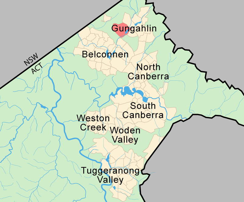
Nicholls adjoins the suburbs of Kinlyside, Casey, Ngunnawal, Crace and Palmerston. The suburb is located approximately 2 km from the Gungahlin Town Centre and about 13 km from the centre of Canberra.
Contents
Local facilities
Some of the most prestigious houses in Nicholls are located against Harcourt Hill to the west. Also in Nicholls is the Senior Site portion of Gold Creek School, Perce Douglas Memorial playing fields, Nicholls Neighbourhood oval, Holy Spirit Primary School and Gold Creek Primary School. Although the suburb of Nicholls is newly established, this northern portion of the suburb including the Gold Creek School is sited on what was until 1990, the former 'Gold Creek' rural property with the Gold Creek Homestead at its centre. The Gungahlin Pond is located in the east of the suburb, near the southern end of the the Lakes Golf Club. A Canberra Nature Park including Percival Hill is located further south.
Gold Creek Village is located on the southern boundary of Nicholls, off the Barton Highway. It encompasses Gold Creek Square, Cockington Green, the Gold Creek golf course, the National Dinosaur Museum, Australian Reptile Centre, the George Harcourt Inn and Federation Square. An online private weather station is located in Nicholls.[3]
History
 Aerial view from north
Nicholls contains the remnants of Ginninderra Village, one of the earliest settlements in the Canberra region. The settlement included the former St Francis School of Ginninderra and the historic Ginninderra Schoolhouse which was built in 1883. The village was located at the intersection of the Queanbeyan-Yass Road (now the Barton Highway) and Gold Creek Road which until the founding of the suburb of Nicholls led to the Gold Creek Homestead.[4]
In 1979 Cockington Green, a miniature English village, opened for business in Ginninderra Village. The private sector enterprise was the first of a number of tourism ventures to establish there over the coming years and in the early 1990s, the ACT government approved an application to rename the precinct Gold Creek Village.
The Lakes Golf Course
The Lakes is a championship par 72 hole golf course measuring 6,198 metres and was originally designed by Ted Parslow.[5] The Lakes Golf Club has over $1m being spent on the course each year over the past few years. The Lakes since 2006 has been transformed and has undergone significant improvements which have been managed by Jamie Dawson who was involved with Ted Parslow's original design concept.[6] From 1998 to 2003 over $20m was spent constructing the Clubhouse, purpose built undercover corporate facilities including a private bar, toilets and locker rooms.[7] The clubhouse design was undertaken by Wood Day Architects, and was constructed in 4 stages over a period of 5 years.[8] The Club is financially supported by the Ainslie Football and Social Club.[9] The project including the design concepts and construction since 1997 were managed by Mr Kevin Grace, CEO of Ainslie Football and Social Club.
The next phase of development commenced in 2007 with the planting of thousands of native horticultural species and returning the 66 hectares area back to its natural environment. This golf course is now set amongst a native botanical garden and natural waterways which has seen an abundant return of native fauna.
The Lakes golf course setting is picturesque and is located amongst lakes.[10] The waterways provide a water source for maintaining the golf course with no potable water being used on the course. The Lakes Golf course is an eco sustainable development using as little water as possible since it also located well below the 100 year flood line.
Geology
Harcourt Hill is made up from Hawkins Volcanics mostly cream rhyolite. But in the south and west there are two patches of green-grey dacite and quartz andesite. A fault forms the south east boundary of the Hawkins Volcanics. A porphyry outdrops through most of the center of Nicholls, this is green grey dacitic intrusive, with white feldspar phenocrysts. Over to the east side of the suburb there is Canberra Formation slatey shale and mudstone, then State Circle Shale, then micaceous Black Mountain Sandstone making up Percival Hill. An anticline forms the ridge of Percival Hill, with an overturned syncline on the western slopes. In the north east side of Nicholls the corner Vee shaped outcrop of tuff comes in from Ngunnawal, and also the base of the crook shaped ashstone outcrop.[11]
Coordinates: 35°11′10″S 149°05′31″E / 35.186°S 149.092°E
Footnotes
- ^ Australian Bureau of Statistics (25 October 2007). "Nicholls (State Suburb)". 2006 Census QuickStats. http://www.censusdata.abs.gov.au/ABSNavigation/prenav/LocationSearch?collection=Census&period=2006&areacode=SSC81366&producttype=QuickStats&breadcrumb=PL&action=401. Retrieved 2009-04-27.
- ^ "Suburb Name search results". ACT Planning & Land Authority. http://apps.actpla.act.gov.au/actlic/places/search/suburbResults_new3.asp?suburbName=NICHOLLS&Submit=Continue. Retrieved 27 April 2009.[dead link]
- ^ weather conditions
- ^ Newman Chris (2004), Gold Creek, Reflections of Canberra's Rural Heritage, Gold Creek Homestead Working Group.
- ^ Lakes Golf web
- ^ Enviro Links Design Pty Ltd
- ^ Gungahlin Lakes: Corporate Golf
- ^ http://www.woodday.com.au/projects/gungahlin/ Wood Day architect
- ^ Ainslie Football Club: Home
- ^ Gungahlin Lakes: Gallery
- ^ Henderson G A M and Matveev G, Geology of Canberra, Queanbeyan and Environs 1:50000 1980.
Categories:

Wikimedia Foundation. 2010.