- Old Guildford, New South Wales
-
Old Guildford
Sydney, New South Wales
Guidlford Arabic Baptist ChurchPopulation: 2,300 (2006) Established: 1837 Postcode: 2161 Location: 24 km (15 mi) west of Sydney CBD LGA: City of Fairfield State District: Fairfield Federal Division: Blaxland Suburbs around Old Guildford: Guildford Guildford Guildford Yennora Old Guildford Chester Hill Fairfield East Fairfield East Chester Hill 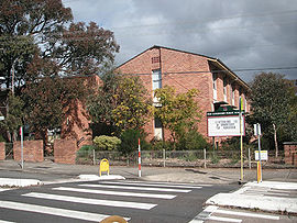 Old Guildford Public School
Old Guildford is a suburb of Sydney, in the state of New South Wales, Australia. Old Guildford is located 24 kilometres west of the Sydney central business district, in the local government area of the City of Fairfield and is part of the Greater Western Sydney region.
Contents
History
Old Guildford and Guildford were named after the Earl of Guildford.
Aboriginal culture
Prior to colonisation, the Dharug people lived in small groups across the Cumberland Plain, including in the area which is now the Woodville Ward. The Bidjigal clan lived around the area which is now Guildford.
European settlement
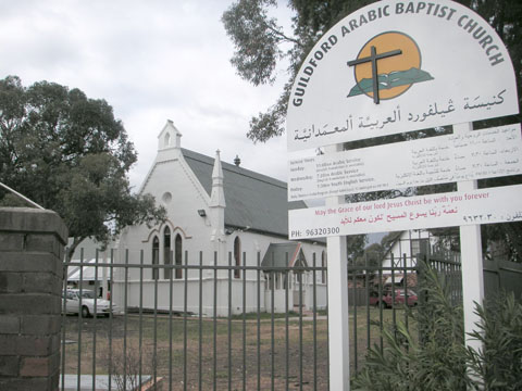
Lieutenant Samuel North was granted 640 acres (2.6 km2) here on 1837 and named his property Guildford, as he had ties with the Earl of Guildford. Although the name of the property changed to Orchardleigh in 1843 when it was sold by North, the name Guildford stuck to the region and the small hamlet which developed in the area around Woodville Road. In 1869 a school had opened and a church was built in the 1880s.[1][2]
In 1876, a railway station was built on the line some distance to the north of the village and named Guildford because it was the closest settlement to the station. The settlement that grew up around the railway station became larger than the original village and ultimately took over the name Guildford with the former settlement becoming known as Old Guildford.
Population
According to the 2006 Australian Census, Old Guildford had a population of 2272 people with a very substantial Arabic speaking population (38%). The majority of the suburb's residents were Australian born with the next most common place of birth being Lebanon (13%) followed by Vietnam (3.6%), China (2.3%) and Syria (1.6%). Old Guildford had a higher than average number of families with children (56%) and the average family income of $966 per week was slightly less than the national average ($1171).[3]
References
- ^ The Book of Sydney Suburbs, Compiled by Frances Pollen, Angus & Robertson Publishers, 1990, Published in Australia ISBN 0-207-14495-8
- ^ "Old Guildford". Fairfield City Council. http://www.fairfieldcity.nsw.gov.au/default.asp?iDocID=5164&iNavCatID=3&iSubCatID=51. Retrieved 2008-08-29.
- ^ Australian Bureau of Statistics (25 October 2007). "Old Guildford(State Suburb)". 2006 Census QuickStats. http://www.censusdata.abs.gov.au/ABSNavigation/prenav/LocationSearch?collection=Census&period=2006&areacode=SSC11761&producttype=QuickStats&breadcrumb=PL&action=401. Retrieved 2008-08-29.
External links
- Old Guildford, New South Wales is at coordinates 33°51′57″S 150°59′00″E / 33.86577°S 150.98346°ECoordinates: 33°51′57″S 150°59′00″E / 33.86577°S 150.98346°E
Suburbs and localities within the City of Fairfield | South-western Sydney | Sydney Abbotsbury · Bonnyrigg · Bonnyrigg Heights · Bossley Park · Cabramatta · Cabramatta West · Canley Heights · Canley Vale · Carramar · Cecil Park · Edensor Park · Fairfield · Fairfield East · Fairfield Heights · Fairfield West · Greenfield Park · Horsley Park · Lansvale · Mount Pritchard · Old Guildford · Prairiewood · Smithfield · St Johns Park · Villawood · Wakeley · Wetherill Park · Yennora
Categories:- Suburbs of Sydney

Wikimedia Foundation. 2010.