- Fairfield East, New South Wales
Infobox Australian Place | type = suburb
name = Fairfield East
city = Sydney
state = nsw
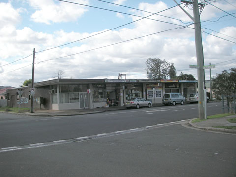
caption = shops in Tangerine Street
lga = City of Fairfield
postcode = 2165
est = 1876
pop = 4500 (2006)
area =
propval =
stategov = Fairfield
fedgov = Blaxland
near-nw = Fairfield
near-n = Yennora
near-ne = Old Guildford
near-w = Fairfield
near-e = Villawood
near-sw = Fairfield
near-s = Villawood
near-se = Villawood
dist1 = 28
dir1 = west
location1= Sydney CBDFairfield East is a
suburb ofSydney , in the state ofNew South Wales ,Australia . Fairfield East is located 28 kilometres west of theSydney central business district in the local government area of theCity of Fairfield . Fairfield East is part of theGreater Western Sydney region.Fairfield East shares the postcode of 2165 with the separate suburbs of Fairfield, Fairfield Heights and Fairfield West.
History
Fairfield East gets its name from its neighbour Fairfield which in turn was named after the family estate of Captain
John Horsley , an early settler. Prior to colonisation, the Cabrogal clan of theDharug people inhabited the area around what is now known as Fairfield East. British settlers moved into the area in the early 1800s and used the land for farming. [cite web | url= http://www.fairfieldcity.nsw.gov.au/default.asp?iDocID=5158&iNavCatID=3&iSubCatID=51 | title=Fairfield | publisher=Fairfield City Council | accessdate=2008-08-29 ]By the 1870s, the area now known as Fairfield East was part of two large properties: "Orchardleigh" in the north which extended towards Guildford and "Mark Lodge" in the south which also included Villawood, Carramar and parts of the Fairfield town centre. [cite web | url= http://www.fairfieldcity.nsw.gov.au/default.asp?iDocID=5156&iNavCatID=3&iSubCatID=51| title=Fairfield East | publisher=Fairfield City Council | accessdate=2008-08-29 ]
In 1876, "Orchardleigh" was subdivided for housing and when "Mark Lodge" followed suit in 1885, the area completed its transformation from farmland to suburbia. The name Mark Lodge was still used in the area for some time after although by the 1950s it had officially become Fairfield East.
Population
According to the 2006 Australian Census, Fairfield East had a population of 4475 people, including a substantial Vietnamese community with 18% of residents born in
Vietnam and 23% speaking Vietnamese. Almost a quarter of the population wereBuddhist s, just behindCatholic ism as the leading religion in the suburb. The most common occupations were labourers (18%), technicians and tradespeople (18%) and machinery operators and drivers (16%).Census 2006 AUS|id=SSC11379 |name=Fairfield East (State Suburb)|accessdate=2008-08-29 |quick=on]References
External links
Wikimedia Foundation. 2010.